60
Public Meetings January 2016

Public Meetings January 2016

Agenda Welcome and Introductions
Project update Process
Project definition
Key environmental findings
Key traffic analysis findings
Related activities Bike/pedestrian projects
15L Short-Term Improvements
Passenger stop visual preference survey
Q&A
Open House
Moving People: Proposed Bus Rapid Transit (BRT)
3

What is the purpose of this project?
To identify and provide a package of multi-modal transportation improvements in the East Colfax corridor that:
Meet current and future person-trip demand
Improve mobility, connectivity, safety, and accessibility
Help to mitigate congestion
Encourage a shift of auto trips to alternative modes
Interact seamlessly, efficiently, and safely with other transportation corridors, systems, and modes
Are consistent with economic development components of federal sustainability & livability plans and principles

Key Challenge:
Adding person-trip capacity to East Colfax without adding roadway lanes or taking property
5
Maximum number of cars on a street
Distribution of people served by these cars
The same number of people on a bus
The same number of people on a ped-bike friendly street

Previous Studies and Plans
6

CCD Strategic Transportation Plan, 2008 Identified 20-30% increased person trip demand in
corridor by 2025
CCD Colfax Streetcar Feasibility Study, 2010 Identified four transit routes in study area, with current
use ~30,000 riders per day
Determined all four routes at capacity during peak
Routes 15 and 15L at capacity throughout day, with ~22,000 riders per day
Colfax Corridor Connections Study Recommendation: Bus Rapid Transit in exclusive lanes
during peak periods
7

Stakeholders and Public Involvement
8

Project Stakeholders & Team Lead Agency
o City and County of Denver
Partner/Coordinating Agencies
o City of Aurora
o Regional Transportation District (RTD)
o Denver Regional Council of Governments (DRCOG)
o Colorado Department of Transportation (CDOT)
o Federal Transit Administration (FTA)
Stakeholders
o Regulatory Agencies
o Auraria and Anschutz Campuses
o Registered neighborhood organizations
o Businesses and property owners
o Community leaders
o Residents and travelers along the corridor
Consultant Team: Steer Davies Gleave (lead)
9

Public Involvement Activities
Technical Working Group Meetings
Community Task Force Meetings
Four sets of Public Meetings in Denver & Aurora
Printed Materials
o Available at 100+ local businesses on Colfax
o Info sent to a network of nearly 150 organizations
o RTD ridership survey/meeting info available on 15/15L buses
Digital Resources
o Website, Facebook and Twitter sites
o Email database of nearly 1,000 stakeholders
10

Initial Feedback on BRT Concept
City of Aurora:
o Supportive of the BRT project
o Agencies are working together on additional technical analysis
Technical Working Group:
o Supportive of the BRT recommendation
Community Leadership Group:
o Supportive of the BRT recommendation
RTD:
o Supportive of Enhancing Transit on Colfax; Fiscally Constrained with FasTracks, which is their current priority
11

Public Meeting Feedback:
12
Several hundred comments submitted o Majority have been supportive of BRT concept Most cited benefits of BRT were: o Faster travel times
o Transit schedule reliability
o Increased corridor capacity
o Economic development potential
Most cited areas where more information was desired were: o Traffic operations
o Interaction of bicycle/pedestrian facilities
o Economic activity
o Social/community effects

13
• More detailed project definition • Continued discussion and review on
specifics of project with partners • Additional ridership forecasting • Additional in-depth traffic analysis
• Initiation of environmental clearance
What’s Happened Since the Last Public Meetings?

How Did We Get Here?

What’s the study area for this project?
10 miles

Why is This Project Needed?
(2010 to 2035) (2010 to 2035)

*ridership includes 10, 20, and 15 & 15L (2010 to 2035) (2010 to 2035)
* *
Why is This Project Needed?

Mode/Technology Options Considered
Roadway Expansion Enhanced Bus Bus Rapid Transit
Light Rail Modern Streetcar
Automated Guideway Transit Monorail MagLev
Commuter Rail
Heavy Rail (Metro)
Gondola Personal Rapid Transit

Route/Alignment Options
• Greatest number of activity centers
• Fewest on-street parking spaces • Shortest alignment • Fewest roadway intersections • Most consistent with locally
adopted plans • Blueprint Denver ‘area of
change’ • Urban character is primarily
commercial & mixed-use • Economic development
opportunities
Colfax Avenue - Route Recommended to Advance

13th/14th
Colfax
17th
20th/
Montview
Enhanced Bus
Bus Rapid Transit
Modern Streetcar
Light Rail
* Other transportation improvements (bike, pedestrian, etc.) are components of all options
End of Screen 2 - Results

21

Locally Preferred Alternative: Bus Rapid Transit in Exclusive Lanes During Peak Hours

23
• Most stops are at existing 15L stops • 2 stops proposed at different locations
• Glencoe to Eudora • Tamarac to Uinta
Project definition

Project definition
24
Exclusive lanes (replacing general purpose lanes) during peak periods between Broadway (and the Civic Center Station) in downtown Denver and Syracuse Street in east Denver, a distance of 4.7 miles.
Exclusive lanes would continue to allow right-turns for autos and would also allow crossing for parking adjacent to the lanes.

25
Project definition
Extent of improved service frequencies and stop enhancements: I-25 to I-225

26
Project definition
Extent of peak-period exclusive lanes: Broadway to Syracuse
Project definition
27
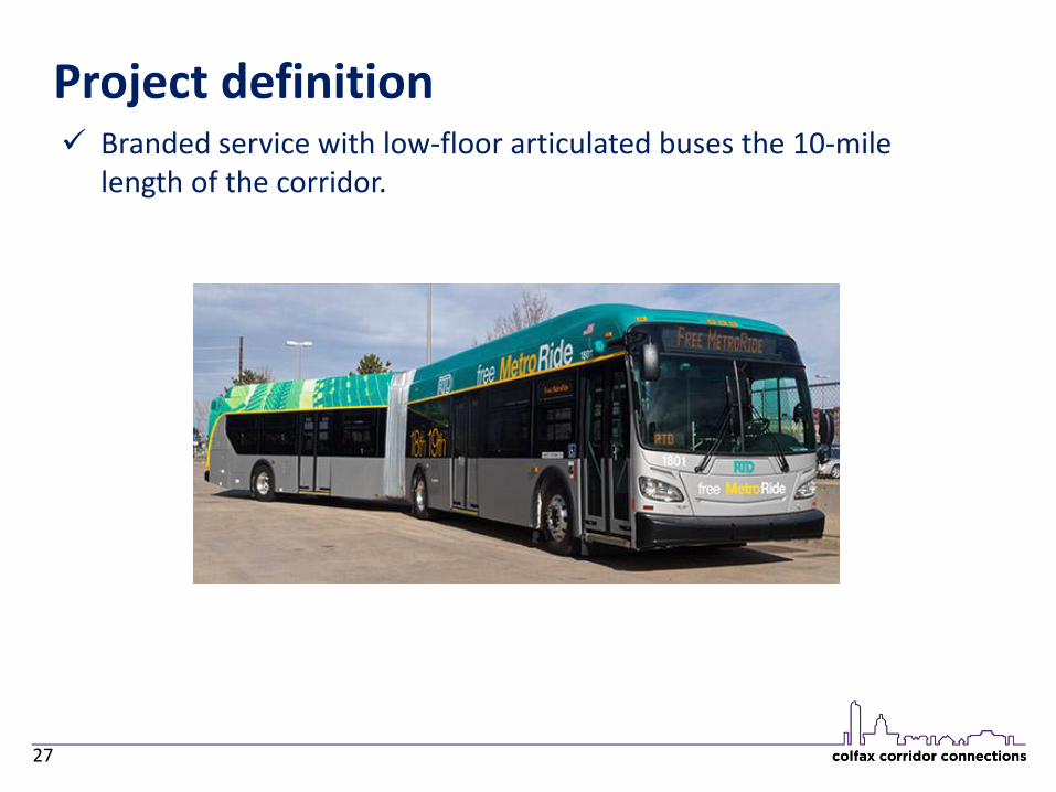
Branded service with low-floor articulated buses the 10-mile length of the corridor.
Project definition
28
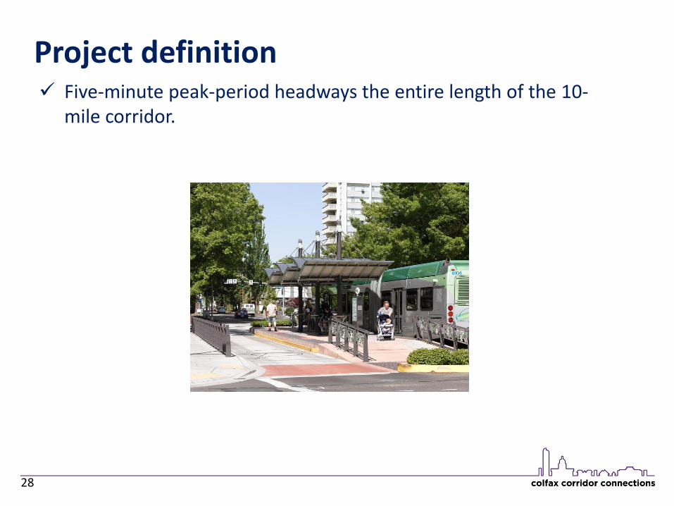
Five-minute peak-period headways the entire length of the 10-mile corridor.

Project definition
29
Twenty enhanced passenger stations throughout the corridor with real-time passenger information, off-vehicle ticketing, and other passenger amenities.
Stops will consist of curb extensions where appropriate (primarily in current bus stop location with minimal parking loss) and on-sidewalk curbside enhancements where curb extensions are not appropriate.

BUS RAPID TRANSIT

BUS A new type of

RAPID It should be

Example BRT Before/After Concept 35

TRANSIT Focused on


Bus Rapid Transit: How It Addresses Corridor Needs
More than doubles ridership of current bus service…
Up to 50,000 Daily Riders
2035 BRT

Bus Rapid Transit: How It Addresses Corridor Needs
Increases person-trips potential by 25%…
40

Bus Rapid Transit: How It Addresses Corridor Needs
End-to-end transit travel time change

More Information at meeting station….

Already heavily used urban transportation corridor Minimal to no impacts (and many benefits) in most
federal resource areas Categorical exclusion document being prepared
under guidance of Federal Transit Administration Anticipated completion spring 2016
Key environmental issues and findings

More Information at meeting station….

Bus Rapid Transit: Traffic Takeaways
Congestion occurs today and will get worse in the future with or without the project
Traffic diversion occurs today and will get worse in the future with or without the project
Some shift from autos to transit due to improved travel times and convenience
Appropriate operational improvements at hot spots as necessary
BRT increases person-trip capacity by up to 25%

Bus Rapid Transit: Traffic Methodology
Traffic Analysis used two separate types of models FOCUS travel demand model for traffic growth and
ridership forecasting VISSIM / Synchro capacity analysis models for more
specific intersection analysis
VISSIM evaluated specific intersection operations along Colfax
Synchro evaluated select intersections adjacent to Colfax (such as 13th, 14th, etc.)
Analysis conducted with and without the project
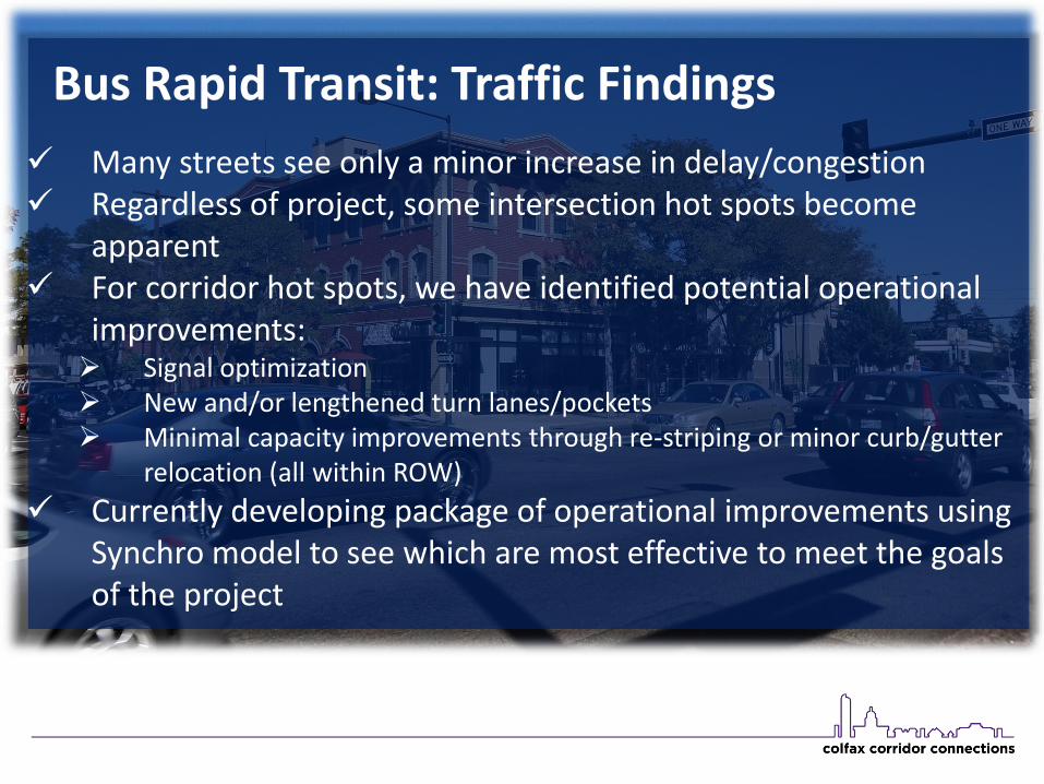
Bus Rapid Transit: Traffic Findings
Many streets see only a minor increase in delay/congestion Regardless of project, some intersection hot spots become
apparent For corridor hot spots, we have identified potential operational
improvements: Signal optimization New and/or lengthened turn lanes/pockets Minimal capacity improvements through re-striping or minor curb/gutter
relocation (all within ROW)
Currently developing package of operational improvements using Synchro model to see which are most effective to meet the goals of the project

More Information at meeting station….

Bike/Pedestrian Access
Bike/Ped access has been a key component of the BRT project from the beginning.
We are identifying short term opportunities for pedestrian and bicycle improvements that support the larger Colfax bus rapid transit (BRT) project

More Information at meeting station….

Short-term opportunity to improve transit on Colfax while still working toward long-term goal of implementing BRT
15L Improvements

More Information at meeting station….

Stop/Shelter Visual Preference Survey

More Information at meeting station….
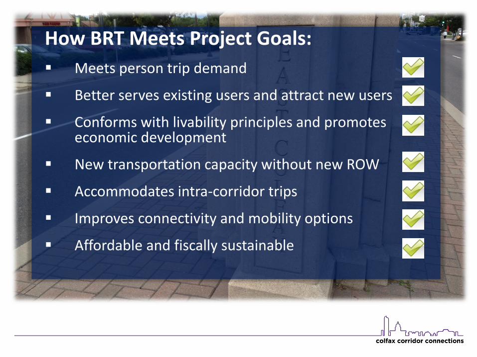
How BRT Meets Project Goals:
Meets person trip demand
Better serves existing users and attract new users
Conforms with livability principles and promotes economic development
New transportation capacity without new ROW
Accommodates intra-corridor trips
Improves connectivity and mobility options
Affordable and fiscally sustainable
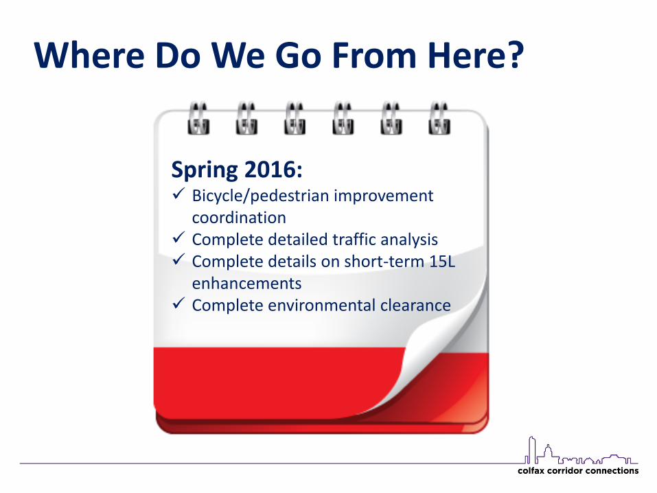
Where Do We Go From Here?
Spring 2016: Bicycle/pedestrian improvement
coordination Complete detailed traffic analysis Complete details on short-term 15L
enhancements Complete environmental clearance

Where Do We Go From Here?
2016-2017: Begin design phase Compete for federal funding Identify local/regional funding
sources

Where Do We Go From Here?
2019-2020: Complete design Federal funding in place Target to start construction

Where Do We Go From Here?
2021-2022: Target for project
Implementation

Questions?


