7
What can GIS do for me? Grey County GIS Overview Grey County Public Works Association – April 4, 2012
| Date post: | 18-Dec-2015 |
| Category: |
Documents |
| Upload: | norman-singleton |
| View: | 214 times |
| Download: | 0 times |
What can GIS do for me?Grey County GIS Overview
Grey County Public Works Association – April 4, 2012
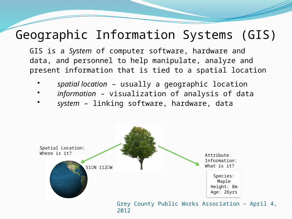
GIS is a System of computer software, hardware and data, and personnel to help manipulate, analyze and present information that is tied to a spatial location
• spatial location – usually a geographic location• information – visualization of analysis of data • system – linking software, hardware, data
Geographic Information Systems (GIS)
Spatial Location: Where is it?
Species: MapleHeight: 8mAge: 26yrs
Attribute Information:What is it?
51N 112W
Grey County Public Works Association – April 4, 2012

Database

Visualization“Worth a thousand words”

Web-based interactive maps
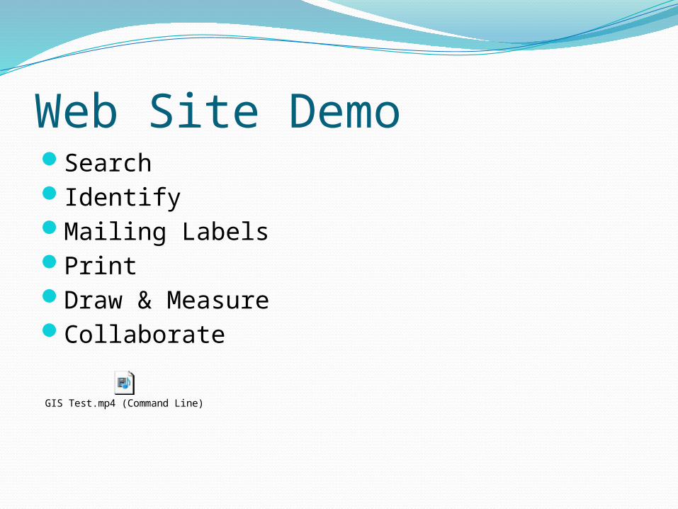
Web Site DemoSearchIdentifyMailing LabelsPrintDraw & MeasureCollaborate
GIS Test.mp4 (Command Line)

Discussion/Questions


