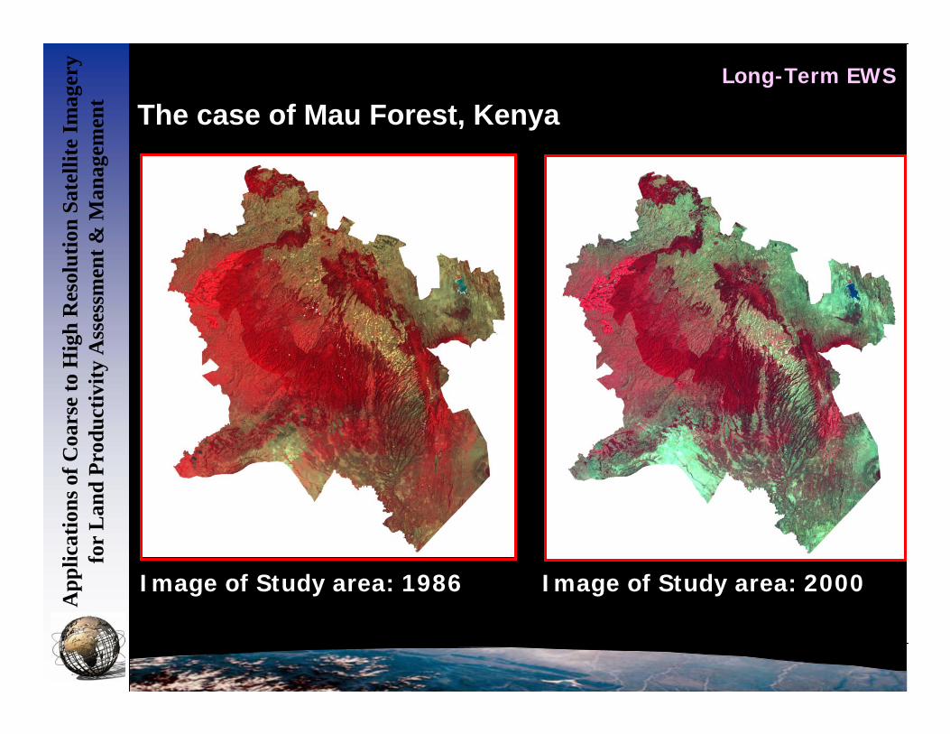
How the Problem of Degradation, Desertification, How the Problem of Degradation, Desertification, Protection, and Natural Resources Management are Protection, and Natural Resources Management are Addressed at RCMRD Addressed at RCMRD U.S. Geological Survey U.S. Geological Survey Center for Earth Resources Center for Earth Resources Observation and Science (EROS) Observation and Science (EROS) Sioux Falls, South Dakota, USA Sioux Falls, South Dakota, USA Training Center Training Center Regional Centre for Mapping of Regional Centre for Mapping of Resources for Development Resources for Development (RCMRD) (RCMRD) Nairobi, Kenya Nairobi, Kenya Image of Study area: 1986 Image of Study area: 2000
Transcript
How the Problem of Degradation, Desertification, How the Problem of Degradation, Desertification, Protection, and Natural Resources Management are Protection, and Natural Resources Management are
Addressed at RCMRDAddressed at RCMRD
U.S. Geological SurveyU.S. Geological SurveyCenter for Earth Resources Center for Earth Resources Observation and Science (EROS)Observation and Science (EROS)Sioux Falls, South Dakota, USASioux Falls, South Dakota, USA
Training CenterTraining CenterRegional Centre for Mapping of Regional Centre for Mapping of Resources for Development Resources for Development (RCMRD)(RCMRD)Nairobi, KenyaNairobi, Kenya
Image of Study area: 1986 Image of Study area: 2000
RCMRDRCMRD
App
licat
ions
of C
oars
e to
Hig
h R
esol
utio
n Sa
telli
te Im
ager
y fo
r L
and
Prod
uctiv
ity A
sses
smen
t & M
anag
emen
tHow the Problem of Degradation, Desertification, Protection, and
Natural Resources Management are Addressed at RCMRD
Bamako , Mali
6 - 17 February, 2006
Erick Khamala, RCMRD, Nairobi, Kenya
App
licat
ions
of C
oars
e to
Hig
h R
esol
utio
n Sa
telli
te Im
ager
y fo
r L
and
Prod
uctiv
ity A
sses
smen
t & M
anag
emen
t
• Capacity building
• Awareness creation
• Spatial Data Infrastructure Development
• Projects
• Research and Development
RCMRD does this through:
App
licat
ions
of C
oars
e to
Hig
h R
esol
utio
n Sa
telli
te Im
ager
y fo
r L
and
Prod
uctiv
ity A
sses
smen
t & M
anag
emen
t
Awareness Creation
To decision makers and Professionals through Seminars, Workshops, Conferences
App
licat
ions
of C
oars
e to
Hig
h R
esol
utio
n Sa
telli
te Im
ager
y fo
r L
and
Prod
uctiv
ity A
sses
smen
t & M
anag
emen
t
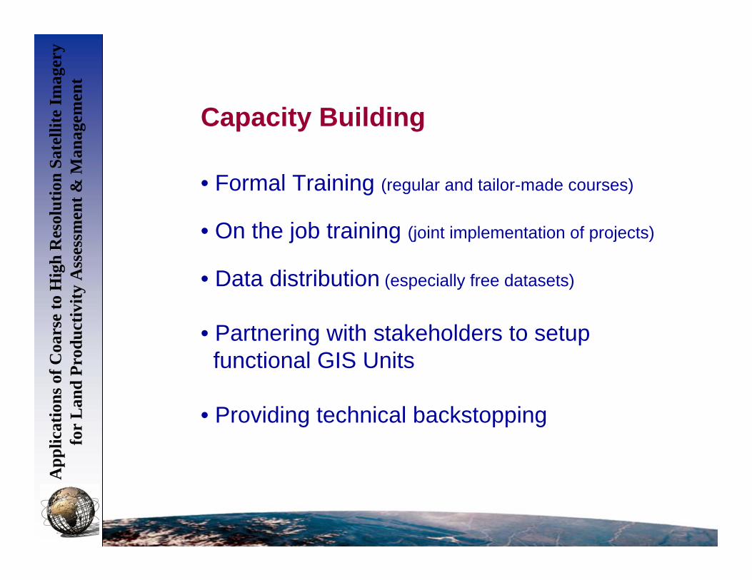
Capacity Building
• Formal Training (regular and tailor-made courses)
• On the job training (joint implementation of projects)
• Data distribution (especially free datasets)
• Partnering with stakeholders to setup functional GIS Units
• Providing technical backstopping
Development of Spatial Data Infrastructure(SDI)
• Spatial datasets (vector, raster)
• Satellite data distribution
• Socio-economic information
• Other important information
App
licat
ions
of C
oars
e to
Hig
h R
esol
utio
n Sa
telli
te Im
ager
y fo
r L
and
Prod
uctiv
ity A
sses
smen
t & M
anag
emen
t
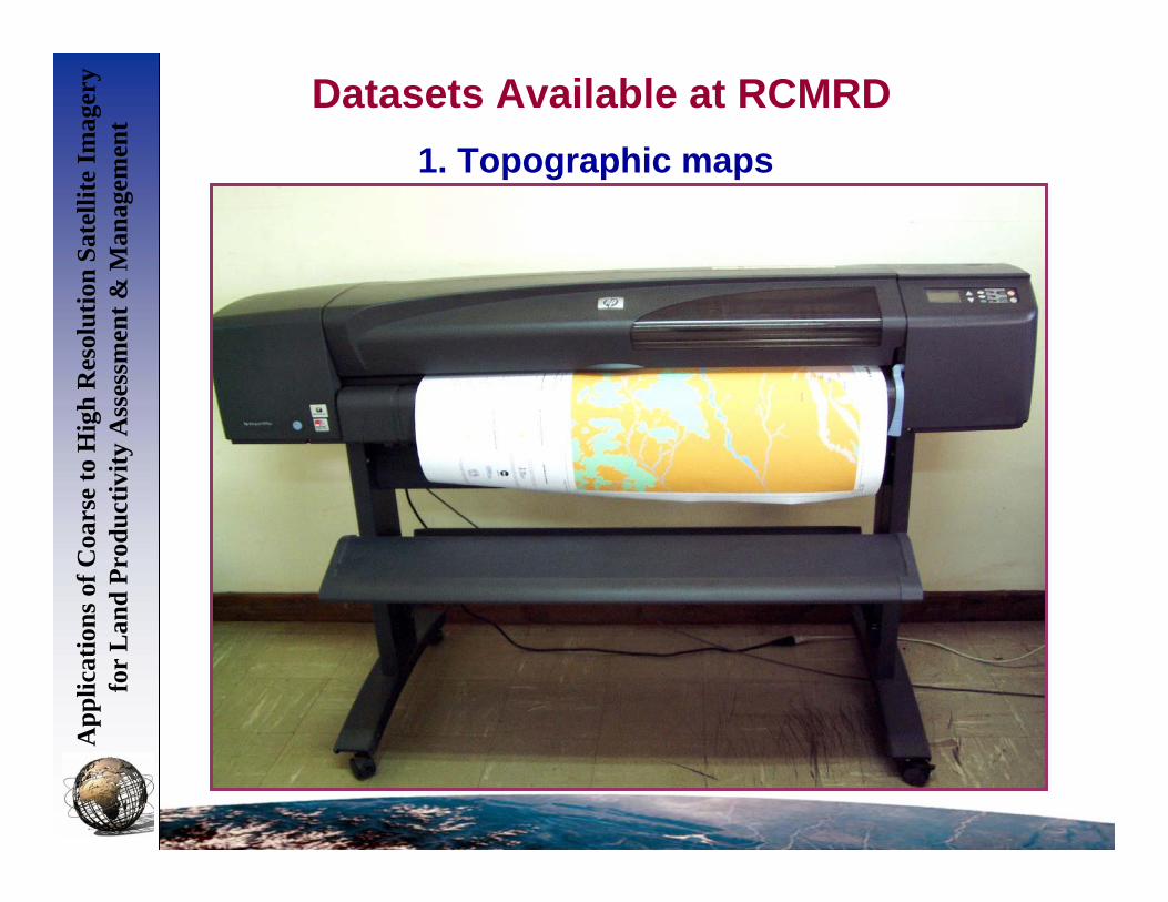
Datasets Available at RCMRDA
pplic
atio
ns o
f Coa
rse
to H
igh
Res
olut
ion
Sate
llite
Imag
ery
for
Lan
d Pr
oduc
tivity
Ass
essm
ent &
Man
agem
ent
1. Topographic maps
App
licat
ions
of C
oars
e to
Hig
h R
esol
utio
n Sa
telli
te Im
ager
y fo
r L
and
Prod
uctiv
ity A
sses
smen
t & M
anag
emen
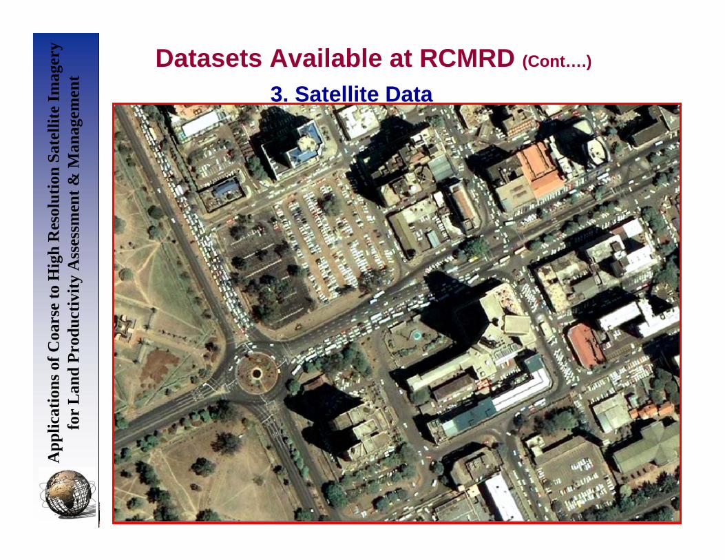
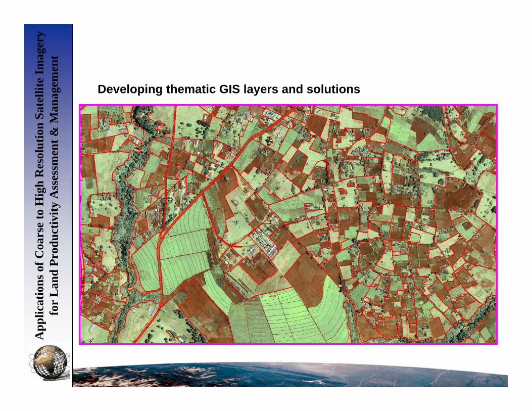
tDatasets Available at RCMRD (Cont….)
2. Thematic mapsLANDCOVER CREATION STATUS
LANDC OVER C REATI ON ST AT USRain fed h erb ac eo us c ro pSc att er ed (in na tu ra l veg et atio n o r oth er ) Rain fed h erb ac eo us c ro p ( fie ld d en sity 20- 40 % of po lyg on ar ea )Isola te d ( in nat ur al v ege ta tion or o the r) Ra infe d he rba ce ou s cr op (f ield de nsit y 1 0- 20% poly go n a re a)Irr iga ted h erb ac eo us c ro pRain fed sh ru b c ro pSc att er ed (in na tu ra l veg et atio n o r oth er ) Rain fed sh ru b c ro p ( fie ld d en sity 20- 40 % of po lygo n ar ea)Fo re st p lan tat ion - und iff ere nt iate dRain fed tr ee cr opSc att er ed (in na tu ra l veg et atio n o r oth er ) Rain fed tr ee cr op (f ield de nsit y 2 0-4 0% of poly gon a re a)Rice field sMu ltilaye re d tre es (b ro ad leav ed ev erg re en )Close d tre esOpe n tre es (6 5- 40 % cro wn cov er )Ve ry op en tr ee s ( 40- 15 % cr own co ver )Close d to ope n woo dy v eg eta tion ( thic ket )Close d shr ub sOpe n shr ub s ( 45 -4 0% cr ow n co ve r)Ope n low s hr ub s ( 65- 40 % cr own co ver )Close d tre es on te mp or ar ily flo od ed lan dMa ng rov e ( T re es)Ope n to close d he rba ce ou s ve ge tat ionSh ru b sav ann ahTr ee s a nd shr ub s s ava nn ahSp ar se sh rub sOpe n to close d he rba ce ou s ve ge tat ion on te mp or ar ily flo od edClose d her ba ce ous ve ge tat ion on pe rm an en tly f loo ded la ndNatu ra l wa ter bo die sBa re a re asUrb an an d a sso cia ted ar ea s, rur al set tlem en ts
LEGEND
N
Land use / land cover map
App
licat
ions
of C
oars
e to
Hig
h R
esol
utio
n Sa
telli
te Im
ager
y fo
r L
and
Prod
uctiv
ity A
sses
smen
t & M
anag
emen
tDatasets Available at RCMRD (Cont….)
3. Satellite Data1973
1986
2001
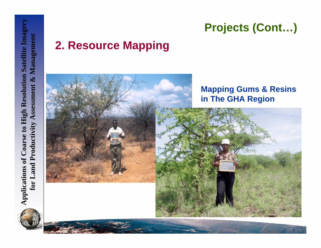
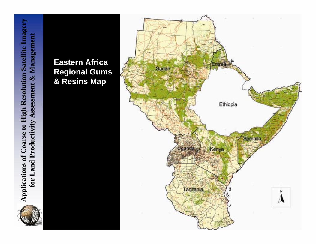
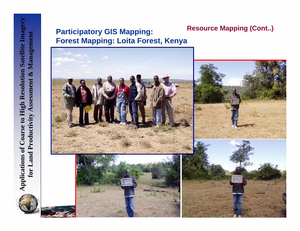
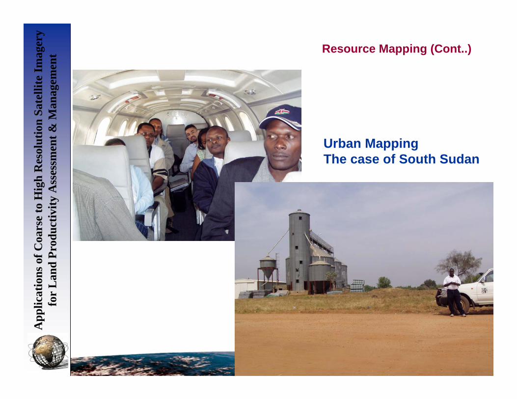
Projects
App
licat
ions
of C
oars
e to
Hig
h R
esol
utio
n Sa
telli
te Im
ager
y fo
r L
and
Prod
uctiv
ity A
sses
smen
t & M
anag
emen
t
• Early Warning Systems (Short-term and Long Term EWS)