30
Landforms Of the United States
| Date post: | 31-Dec-2015 |
| Category: |
Documents |
| Upload: | rafe-tyler |
| View: | 225 times |
| Download: | 1 times |
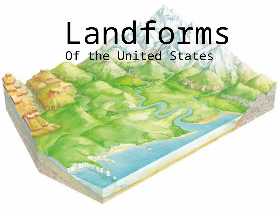
LandformsOf the United States
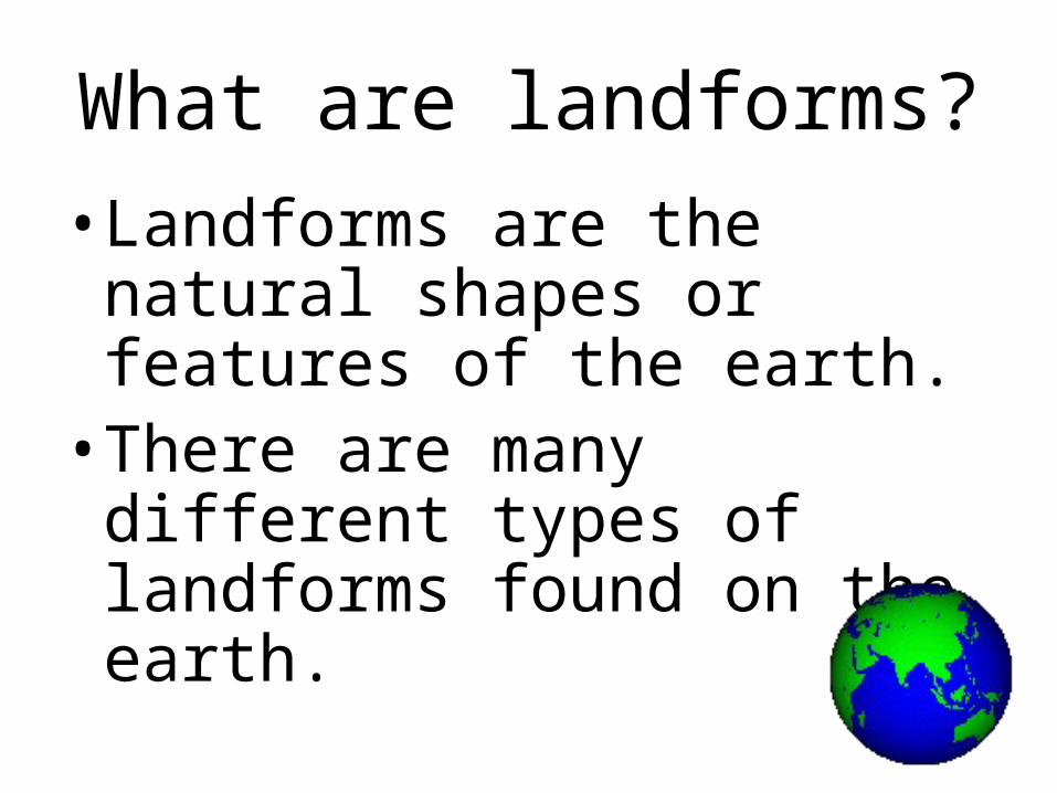
What are landforms?•Landforms are the natural shapes or features of the earth.
•There are many different types of landforms found on the earth.
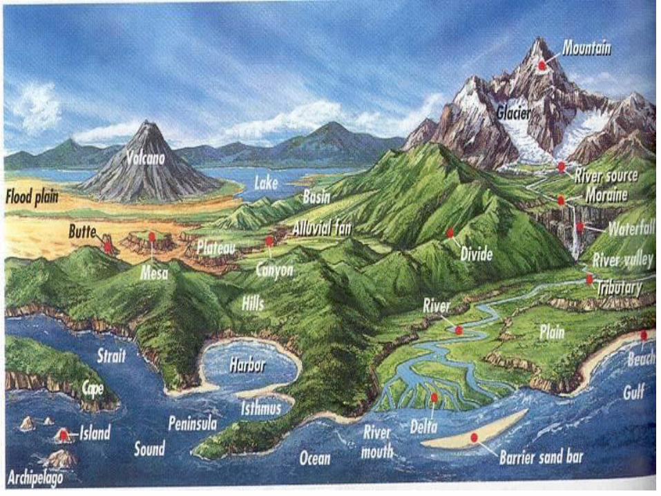
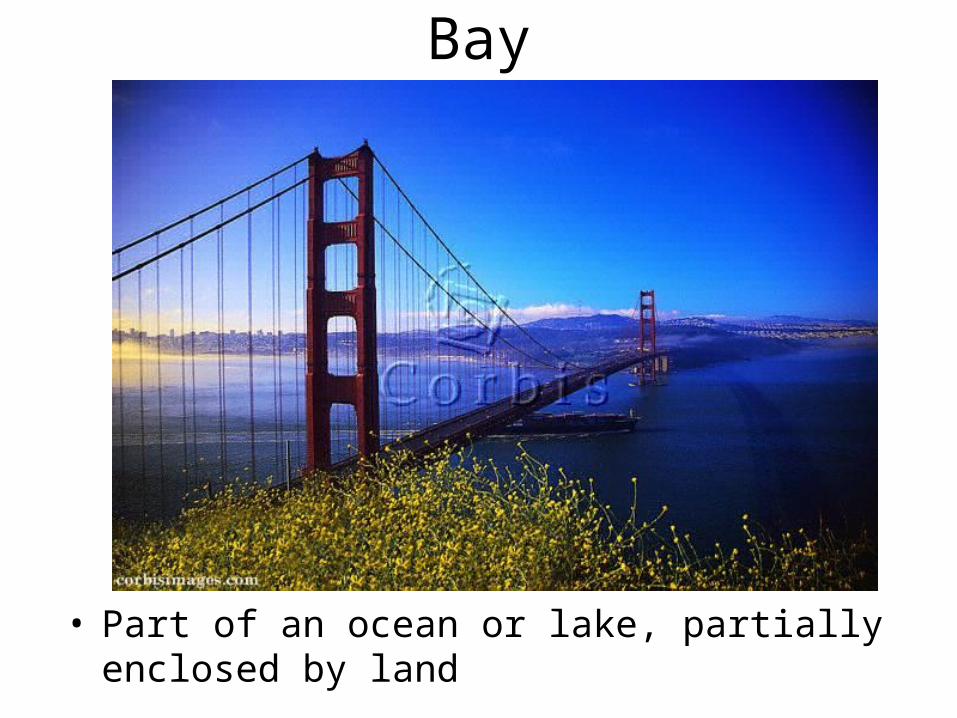
Bay
• Part of an ocean or lake, partially enclosed by land
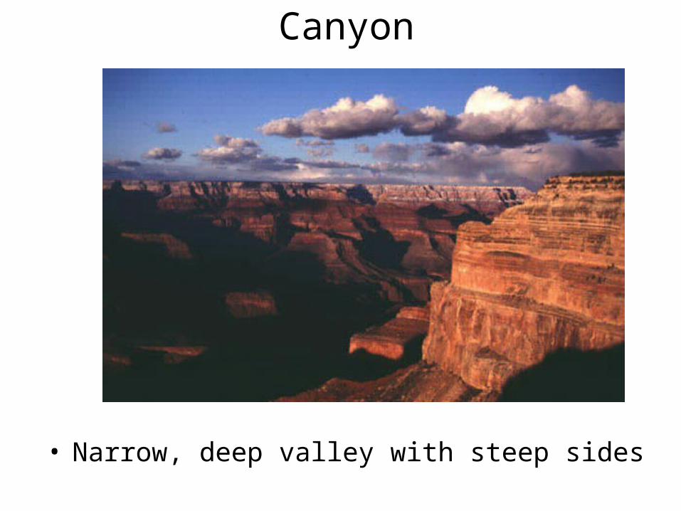
Canyon
• Narrow, deep valley with steep sides
Cape
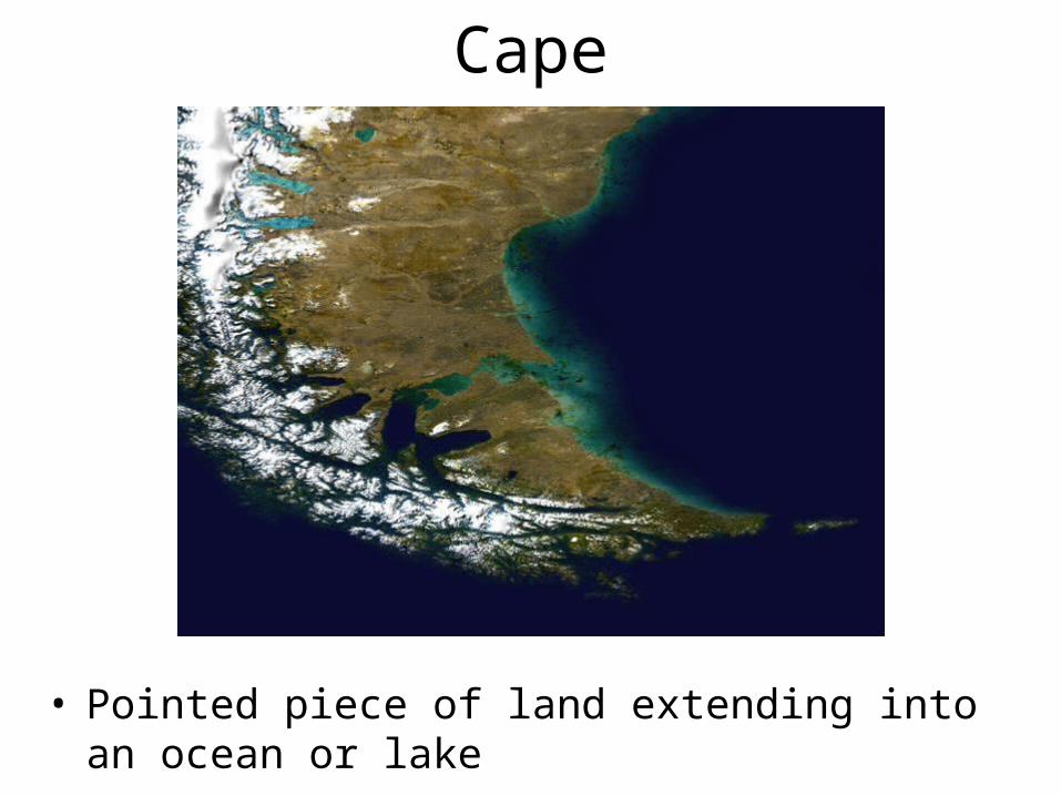
Cape
• Pointed piece of land extending into an ocean or lake
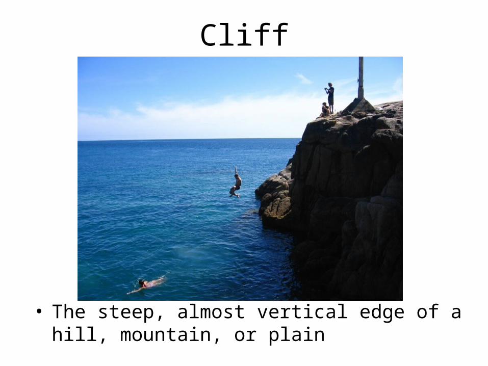
Cliff
• The steep, almost vertical edge of a hill, mountain, or plain
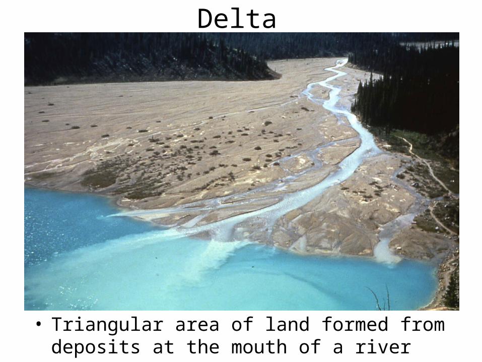
Delta
• Triangular area of land formed from deposits at the mouth of a river
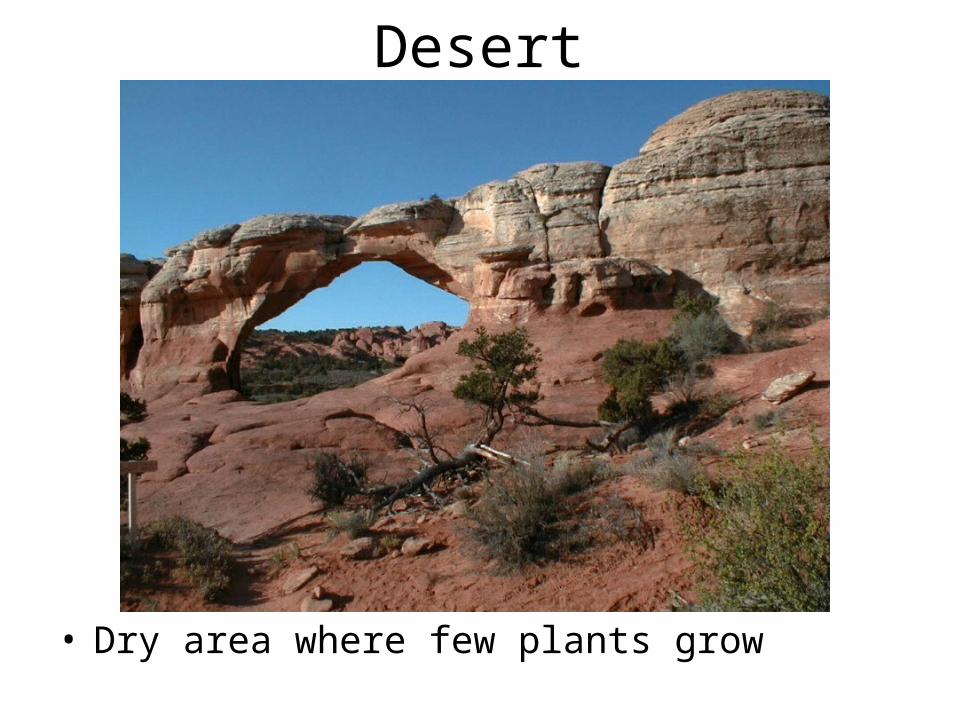
Desert
• Dry area where few plants grow
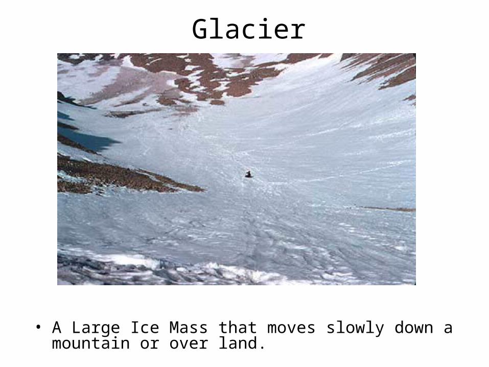
Glacier
• A Large Ice Mass that moves slowly down a mountain or over land.
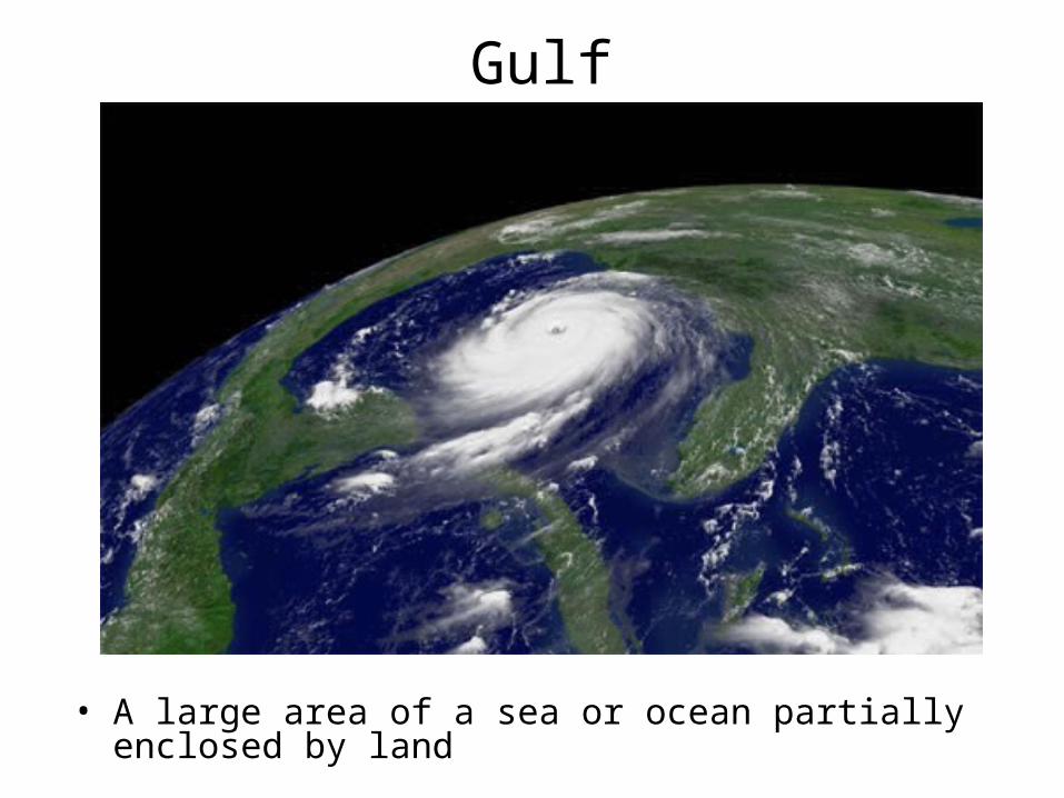
Gulf
• A large area of a sea or ocean partially enclosed by land
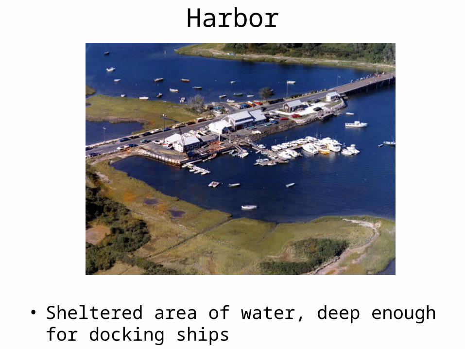
Harbor
• Sheltered area of water, deep enough for docking ships
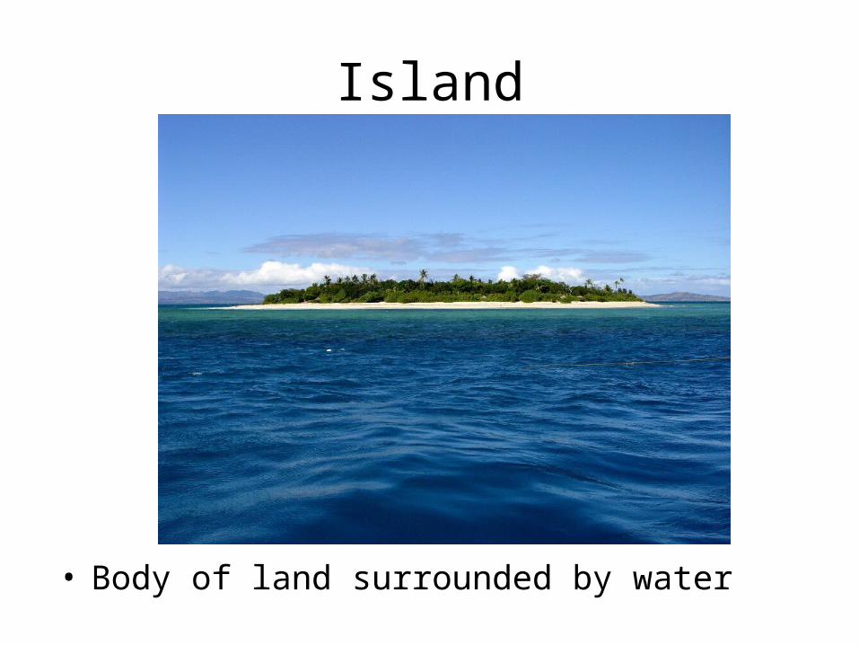
Island
• Body of land surrounded by water
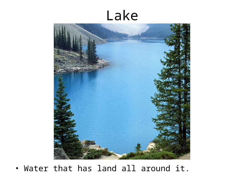
Lake
• Water that has land all around it.
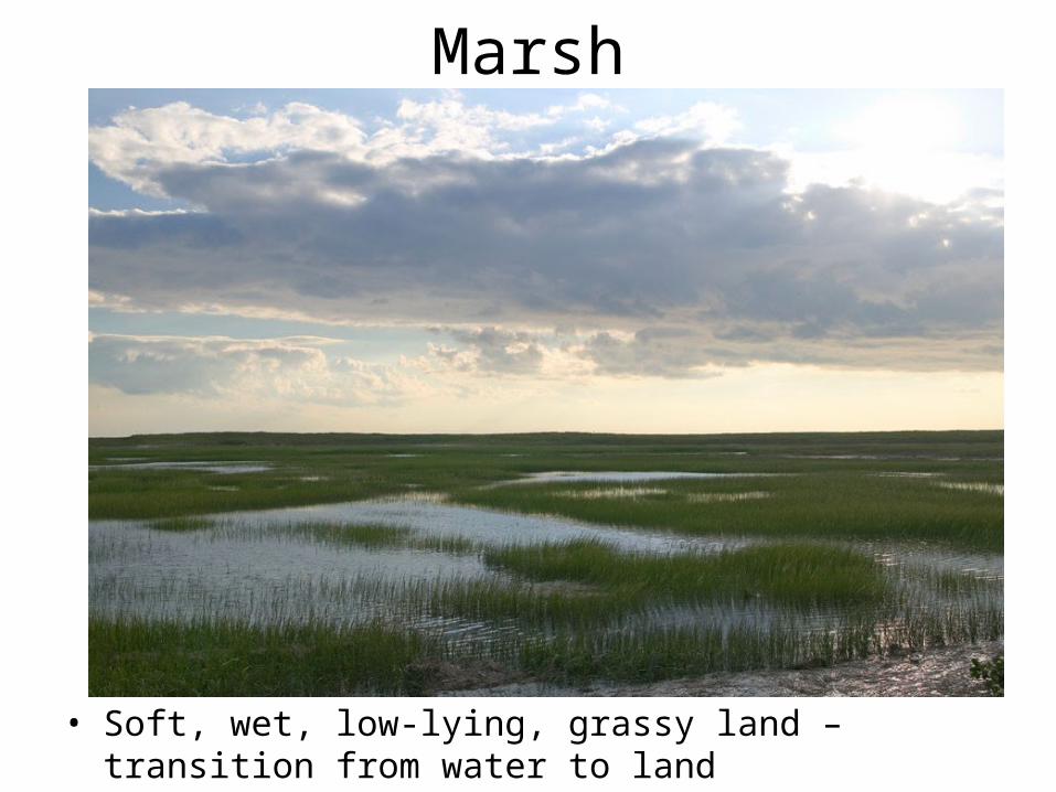
Marsh
• Soft, wet, low-lying, grassy land – transition from water to land
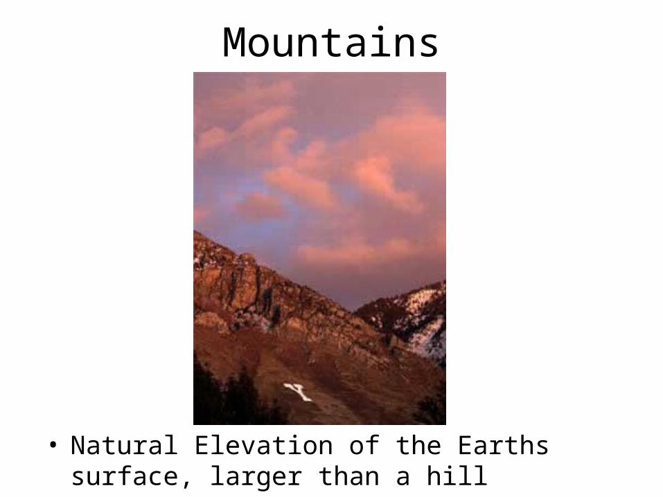
Mountains
• Natural Elevation of the Earths surface, larger than a hill
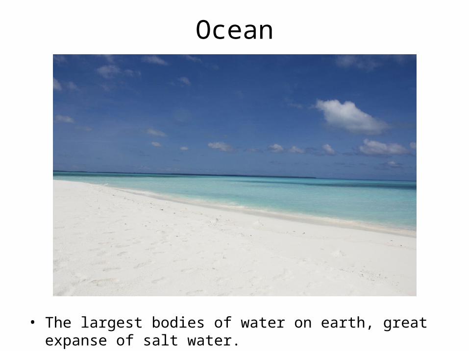
Ocean
• The largest bodies of water on earth, great expanse of salt water.
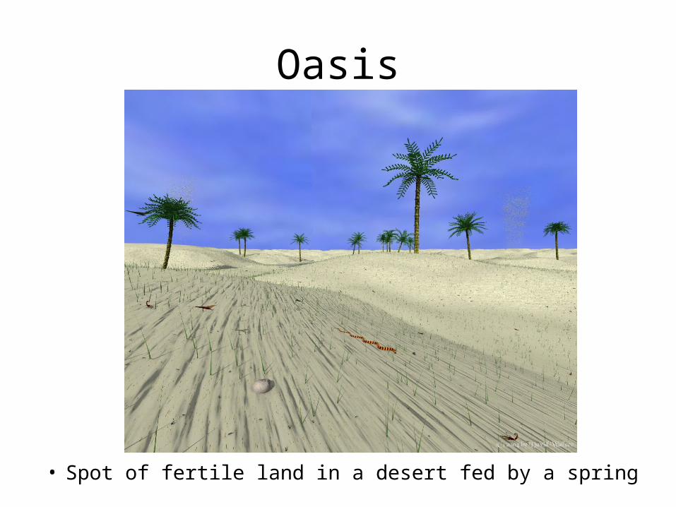
Oasis
• Spot of fertile land in a desert fed by a spring
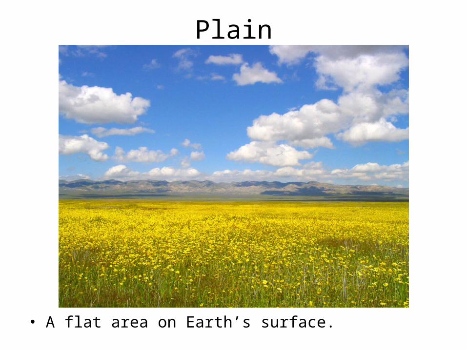
Plain
• A flat area on Earth’s surface.
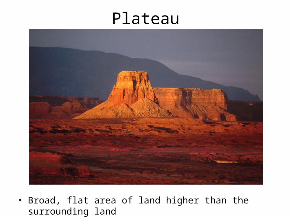
Plateau
• Broad, flat area of land higher than the surrounding land
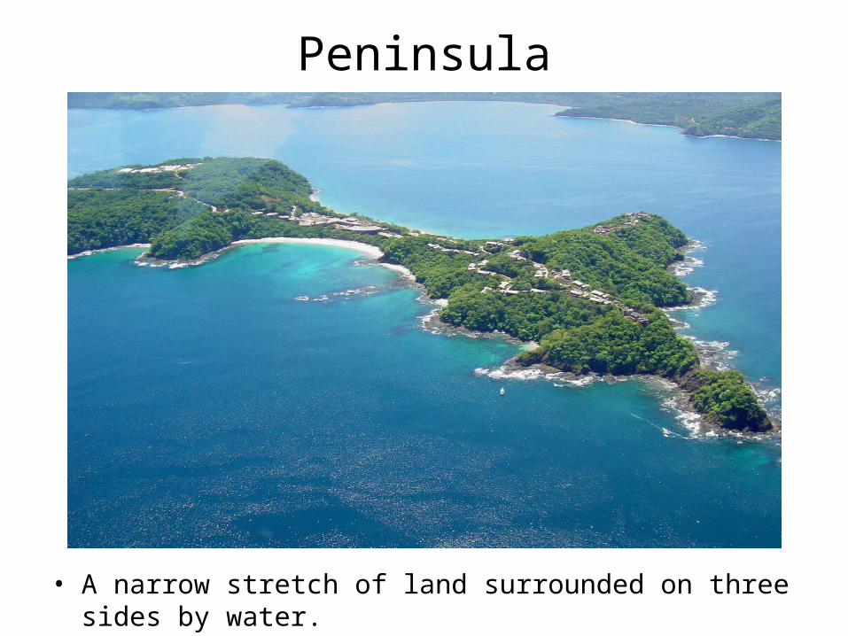
Peninsula
• A narrow stretch of land surrounded on three sides by water.
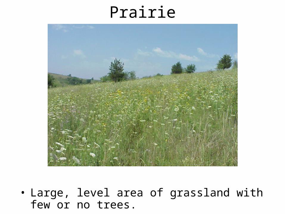
Prairie
• Large, level area of grassland with few or no trees.
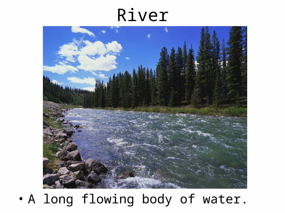
River
• A long flowing body of water.
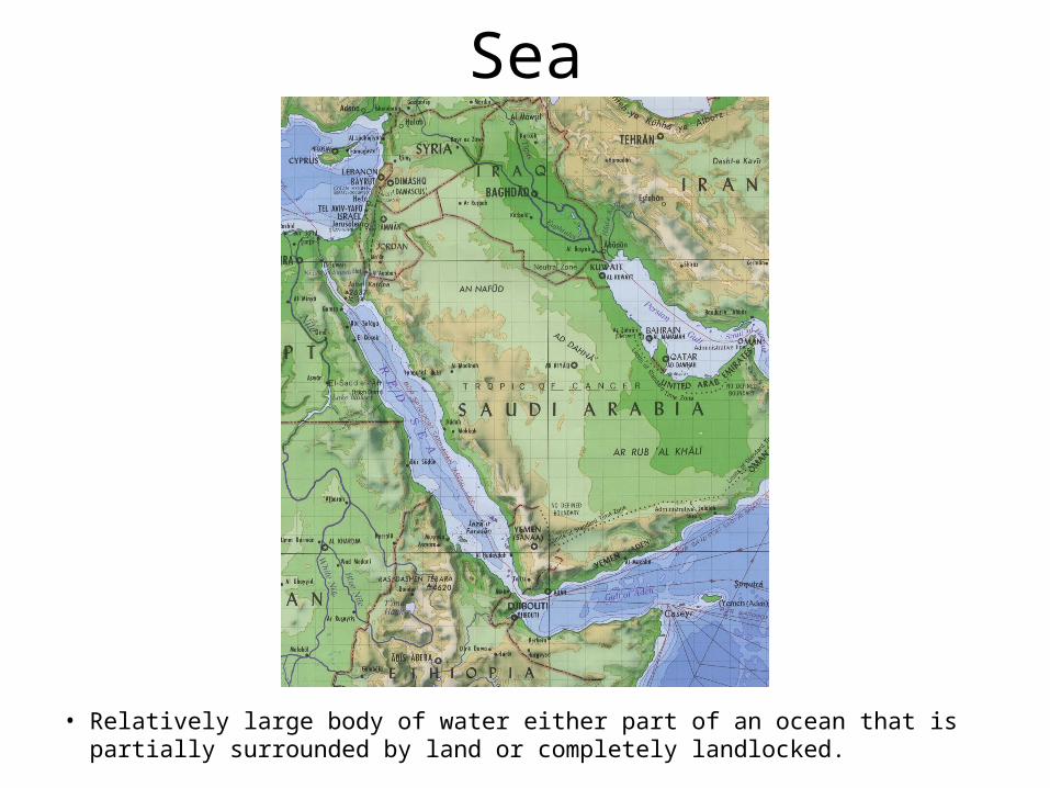
Sea
• Relatively large body of water either part of an ocean that is partially surrounded by land or completely landlocked.
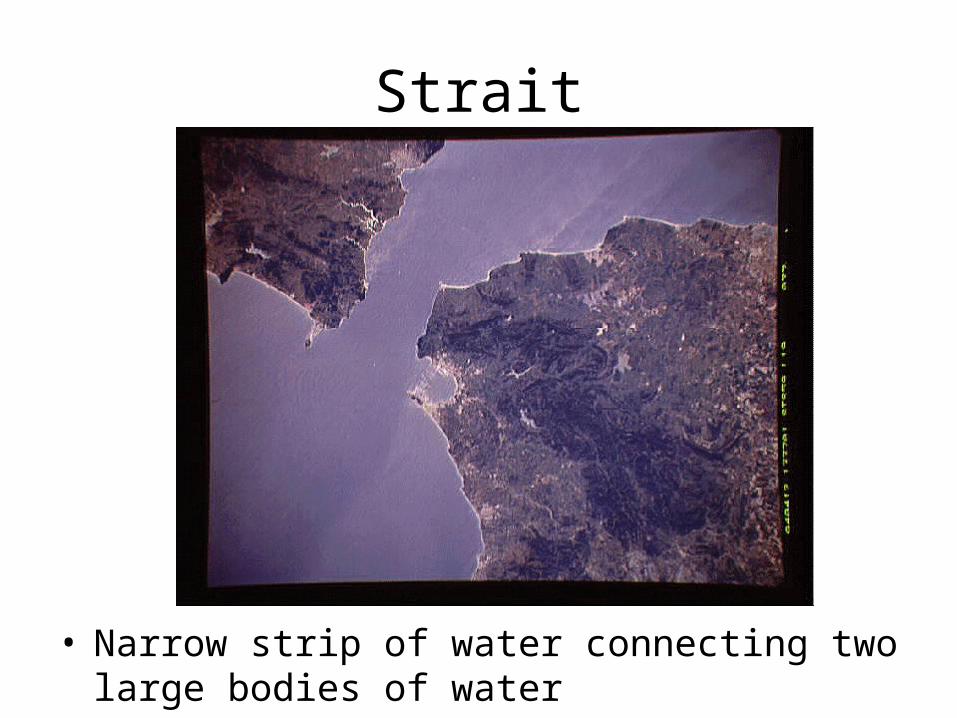
Strait
• Narrow strip of water connecting two large bodies of water
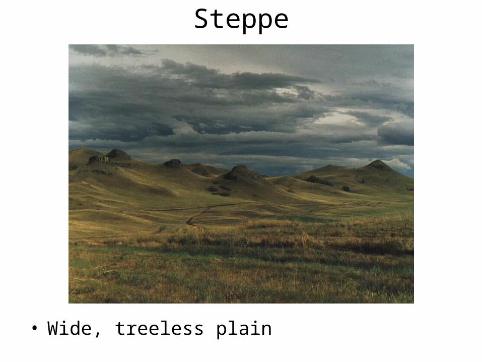
Steppe
• Wide, treeless plain
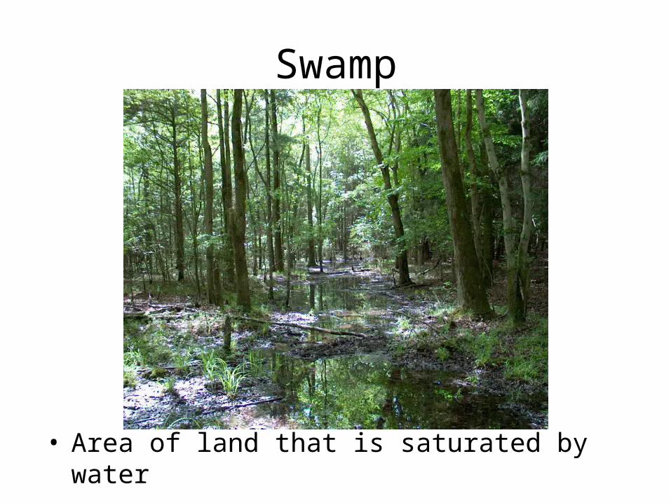
Swamp
• Area of land that is saturated by water

Valley
• Low land between hills or mountains
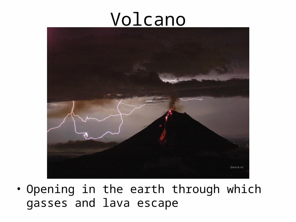
Volcano
• Opening in the earth through which gasses and lava escape


