64
Medieval Dogma and the Shape of the World Presented by Wally Hartshorn On July 6, 2004 To the Rational Examination Association of Lincoln Land
| Date post: | 27-Dec-2015 |
| Category: |
Documents |
| Upload: | marshall-marshall |
| View: | 214 times |
| Download: | 2 times |
Medieval Dogma andthe Shape of the World
Presented by Wally HartshornOn July 6, 2004
To the Rational Examination Association of Lincoln Land
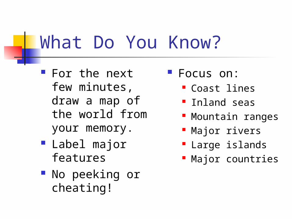
What Do You Know? For the next few
minutes, draw a map of the world from your memory.
Label major features
No peeking or cheating!
Focus on: Coast lines Inland seas Mountain ranges Major rivers Large islands Major countries

Improving Our Maps
How could we improve our maps(short of looking at an atlas)? Pool our knowledge Read books to glean information Travel and take notes Ask other travelers for information Consult the Bible
Caveats
I’m not an expert on ancient maps! My main source, The
Discoverers, by Daniel J. Boorstin, contained no illustrations.
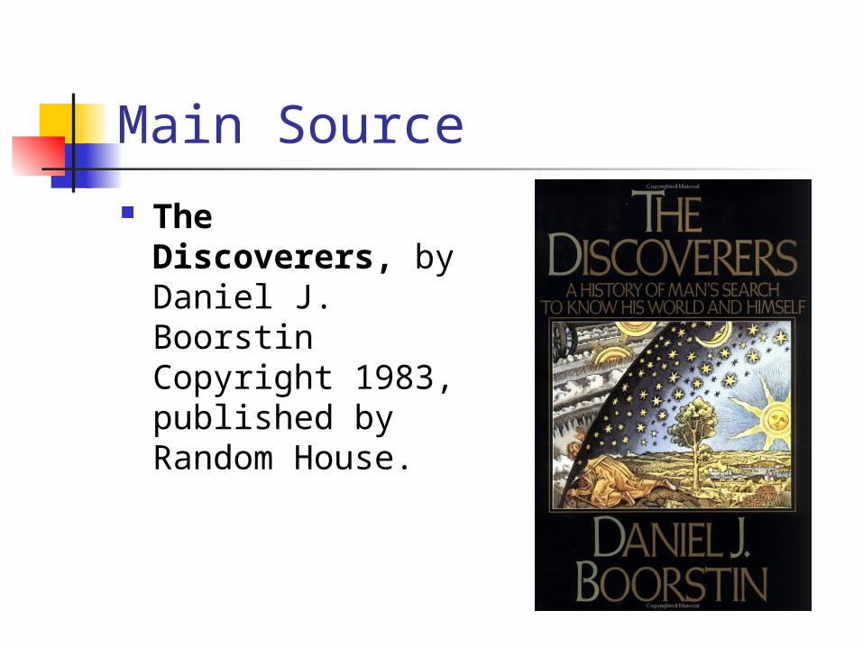
Main Source The
Discoverers, by Daniel J. BoorstinCopyright 1983, published by Random House.
Additional Sources The Mapmakers,
by John Noble Wilford; copyright 1981, 2000;published by Alfred A. Knopf
The Story of Maps,by Lloyd A. Brown; copyright 1949, 1977;published by Dover Publications, Inc.
The World through Maps,by John Rennie Short; copyright 2003;published by Firefly Books Ltd.
“The greatest obstacle to discovering the shape of the earth, the continents, and the oceans was not ignorance but the illusion of knowledge.”– Daniel J. Boorstin,The Discoverers, p.86
We sometimes can have the same problem today in other realms.
Homer (ca. 900 BC)
Greek poet Circular disk on a plateau, surrounded
by the circular river Oceanus Below is Hades (Death’s realm) Above is dome of the sky Popular view long after Pythagoreans’
spherical earth proven by Aristotle
Aristotle 384-322 BC In 5th Century BC, Greek scholars felt
earth was a sphere, based only on aesthetic arguments
Agreed that the earth was a sphere, on mathematical grounds, but also based on some physical evidence
Round shadow on moon during lunar eclipse shows that the earth is a sphere
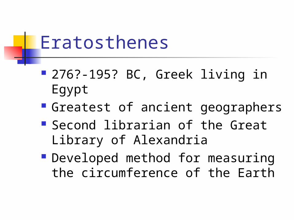
Eratosthenes
276?-195? BC, Greek living in Egypt
Greatest of ancient geographers Second librarian of the Great
Library of Alexandria Developed method for measuring
the circumference of the Earth
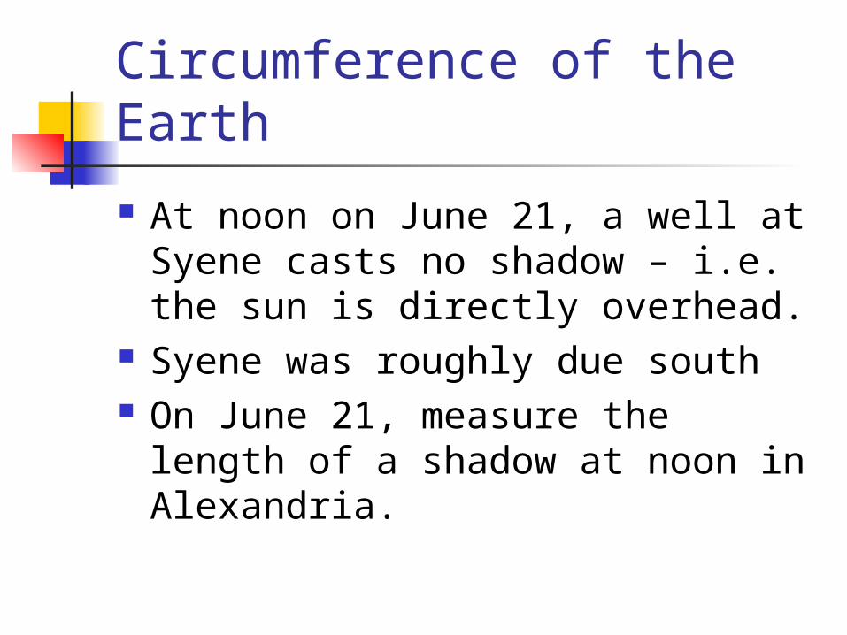
Circumference of the Earth
At noon on June 21, a well at Syene casts no shadow – i.e. the sun is directly overhead.
Syene was roughly due south On June 21, measure the length of
a shadow at noon in Alexandria.
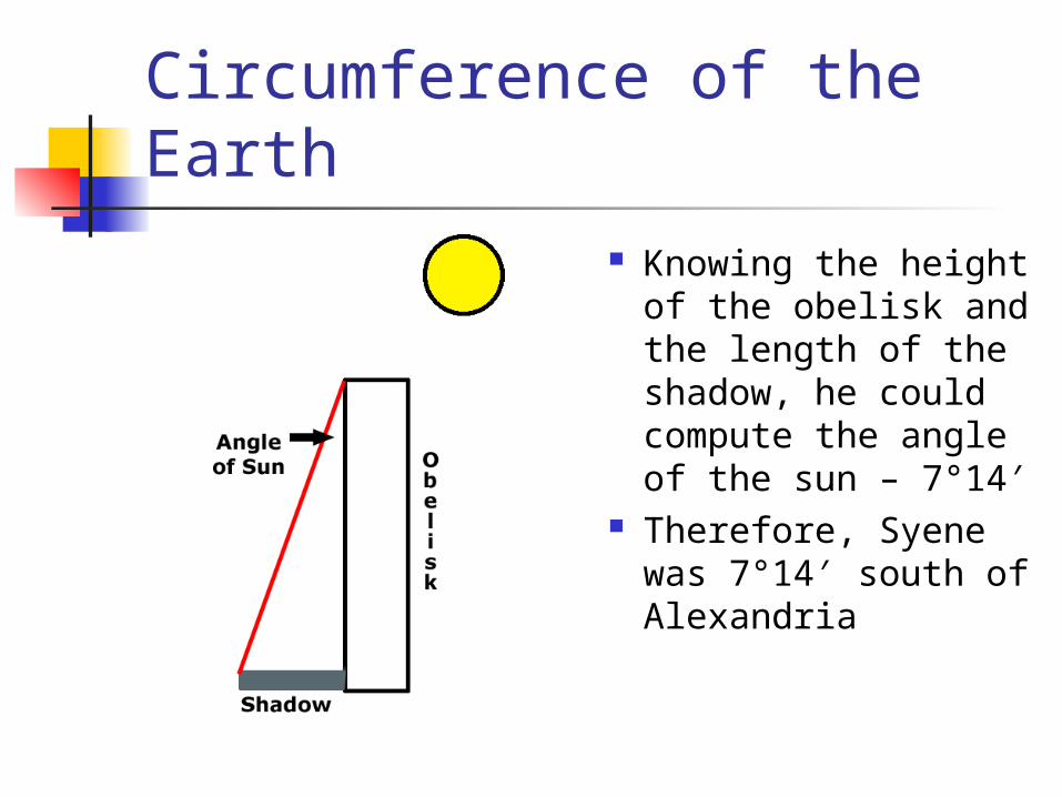
Circumference of the Earth Knowing the height
of the obelisk and the length of the shadow, he could compute the angle of the sun – 7°14′
Therefore, Syene was 7°14′ south of Alexandria
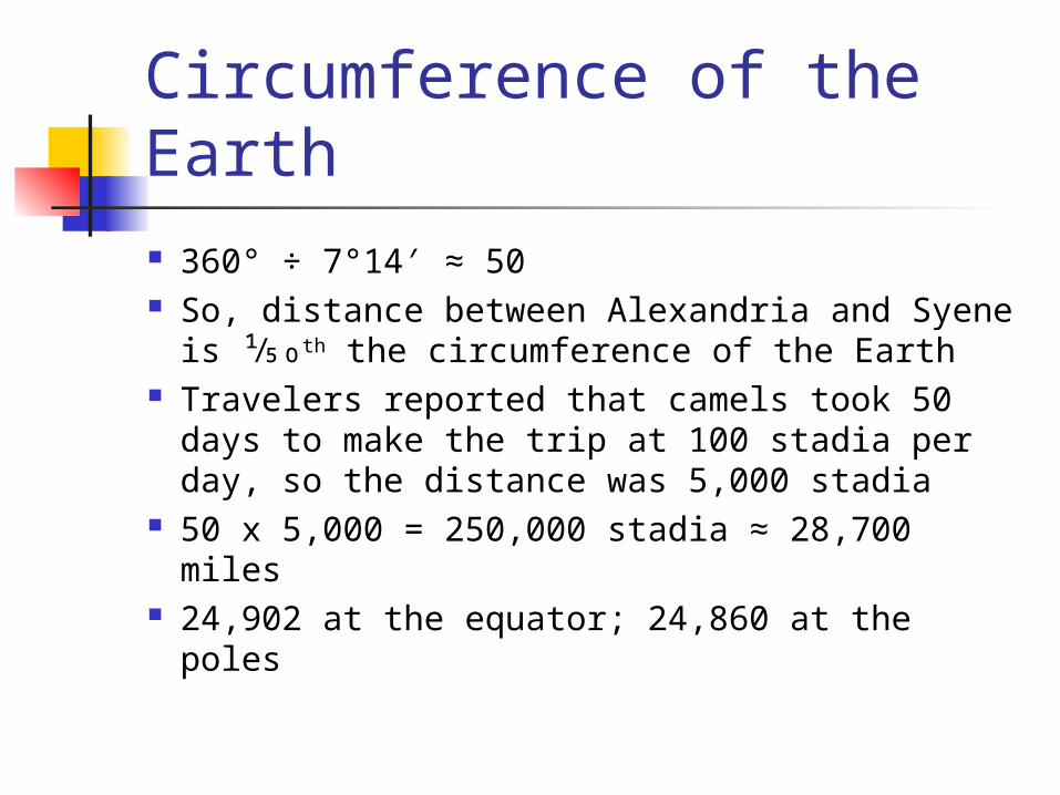
Circumference of the Earth 360° ÷ 7°14′ ≈ 50 So, distance between Alexandria and Syene
is ¹⁄50th the circumference of the Earth Travelers reported that camels took 50 days
to make the trip at 100 stadia per day, so the distance was 5,000 stadia
50 x 5,000 = 250,000 stadia ≈ 28,700 miles 24,902 at the equator; 24,860 at the poles

Hipparchus of Nicaea
Abt. 165–127 BC Astronomer, discovered precession
of the equinoxes Replaced unequal climata lines
with an evenly spaced grid Latitude and longitude lines

Ptolemy
90-168 AD, father of modern geography
Best known for Earth-centered model of the solar system, replaced by Sun-centered model of Copernicus
Established convention of orienting maps with north at the top

Ptolemy
Devised way to project spherical earth onto a plane
Said that the best hypothesis was the simplest that would comprehend the facts.
Was skeptical of some travelers’ tales.
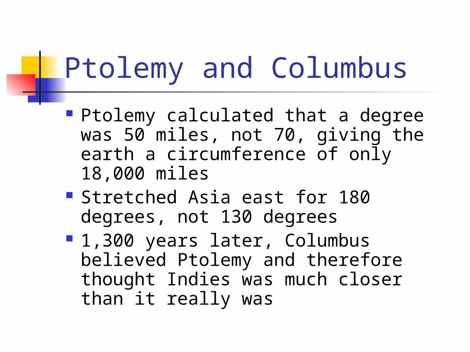
Ptolemy and Columbus Ptolemy calculated that a degree was
50 miles, not 70, giving the earth a circumference of only 18,000 miles
Stretched Asia east for 180 degrees, not 130 degrees
1,300 years later, Columbus believed Ptolemy and therefore thought Indies was much closer than it really was
The Great Interruption
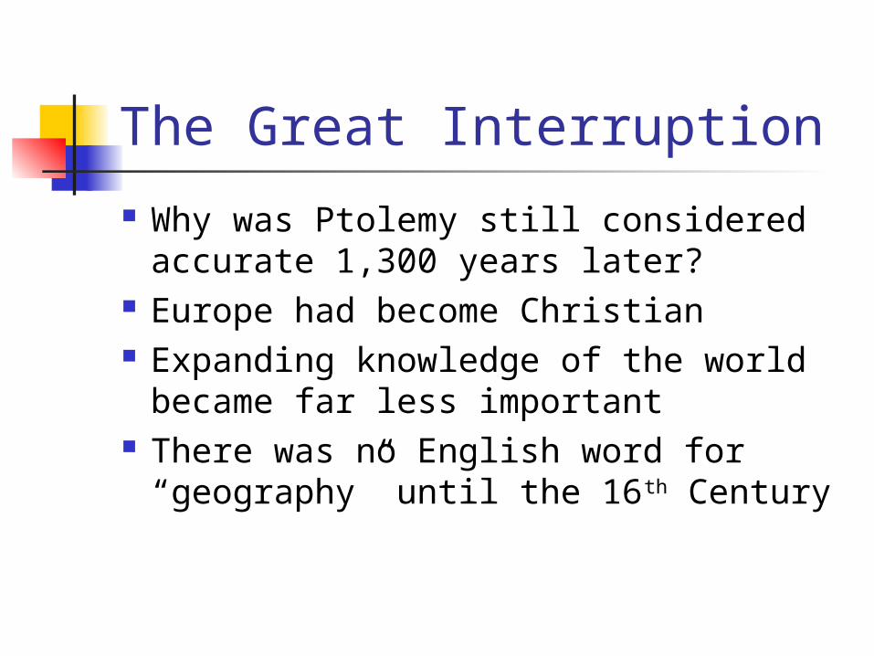
Why was Ptolemy still considered accurate 1,300 years later?
Europe had become Christian Expanding knowledge of the world
became far less important There was no English word for
“geography” until the 16th Century
Antipodes
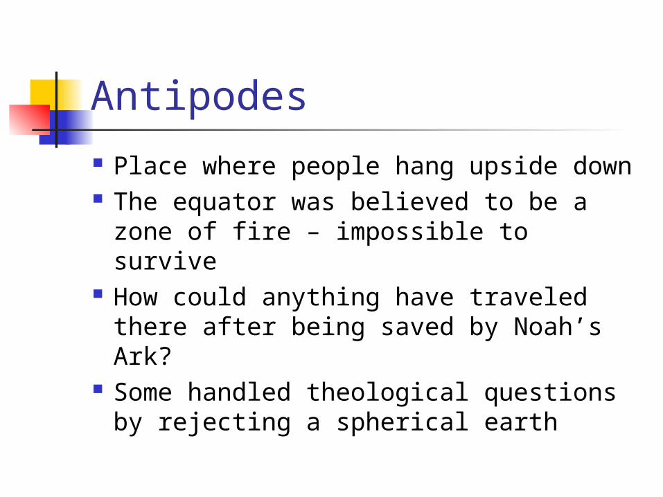
Place where people hang upside down The equator was believed to be a zone
of fire – impossible to survive How could anything have traveled
there after being saved by Noah’s Ark?
Some handled theological questions by rejecting a spherical earth
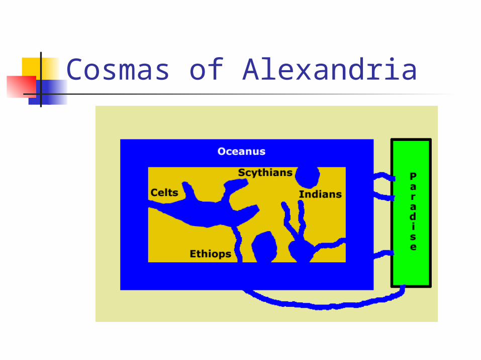
Cosmas of Alexandria
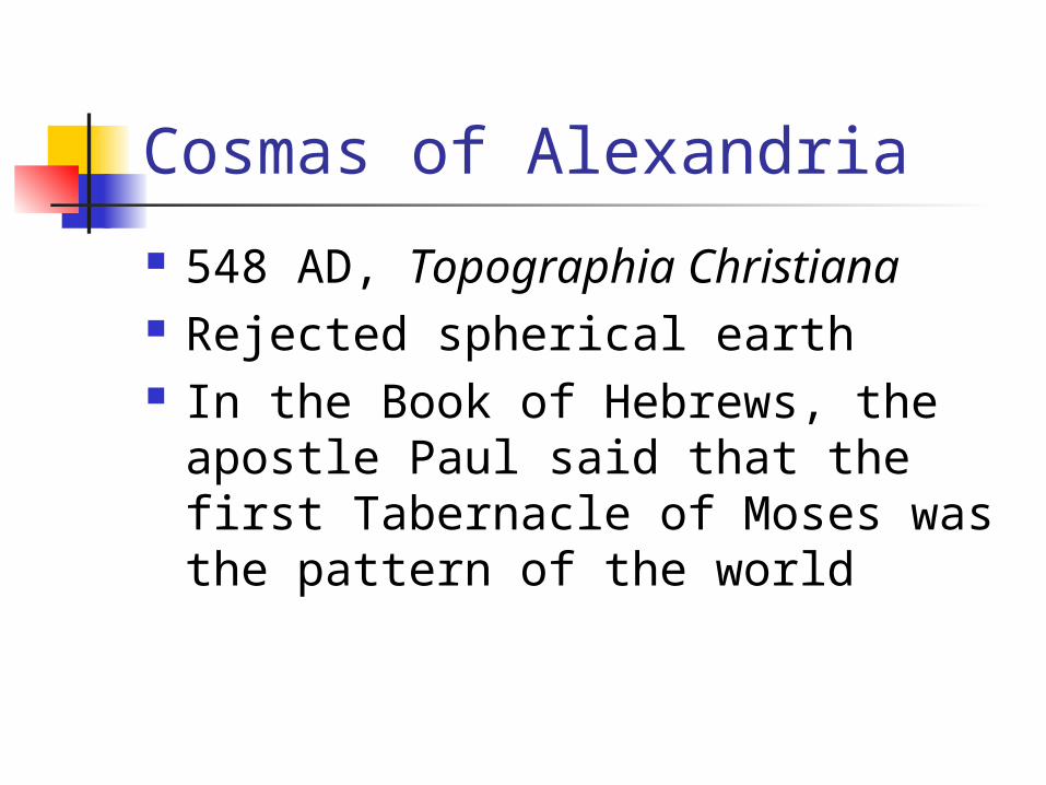
548 AD, Topographia Christiana Rejected spherical earth In the Book of Hebrews, the
apostle Paul said that the first Tabernacle of Moses was the pattern of the world

Cosmas of Alexandria
Cosmas modeled the world as a rectangular box
The lid was the arch of heaven To the north was a mountain; the
sun orbited around it, thus the seasons
There were four peoples: Indians, Ethiops, Celts, and Scythians

Cosmas of Alexandria
From Paradise in the east flowed: The Indus (Ganges) into India The Nile into Ethiopia and Egypt The Tigris and Euphrates into
Mesopotamia
Cosmas of Alexandria
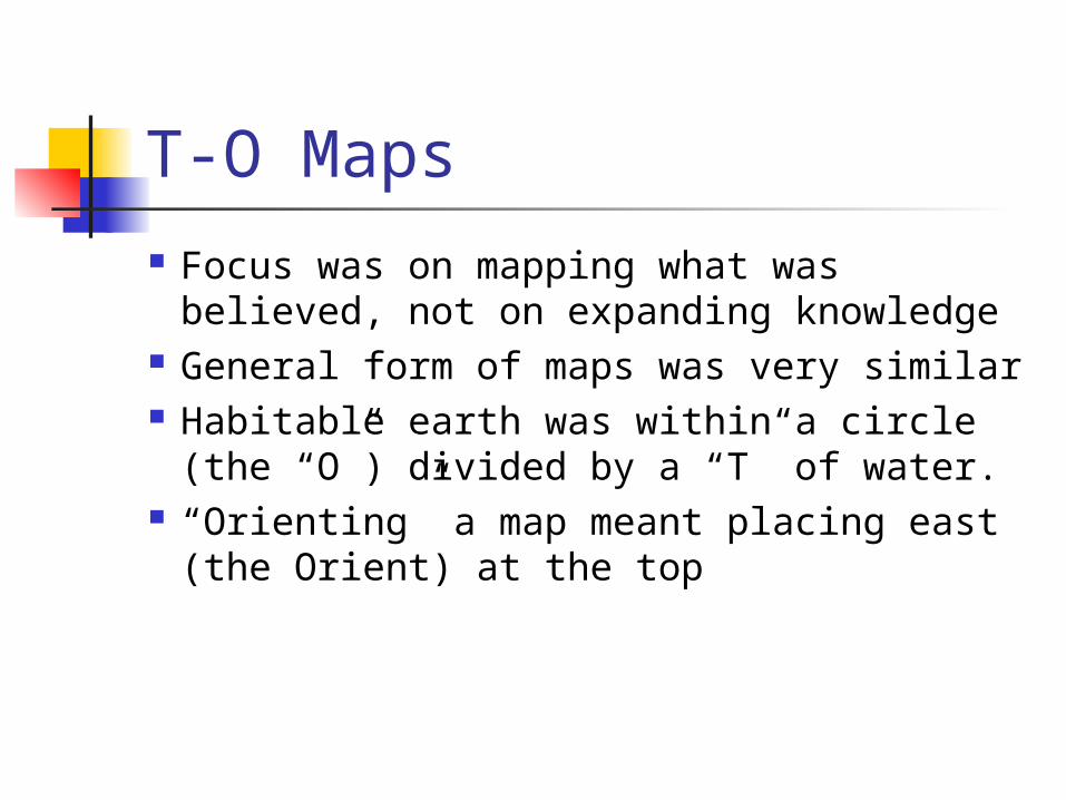
T-O Maps
Focus was on mapping what was believed, not on expanding knowledge
General form of maps was very similar Habitable earth was within a circle
(the “O”) divided by a “T” of water. “Orienting” a map meant placing east
(the Orient) at the top

T-O Maps “T” was formed
by Mediterranean Sea, Danube, and Nile
Asia was above the “T”; Europe was to the lower-left; Africa was to the lower-right.

T-O Maps
St. Isidore of Seville, 600-636 AD These were maps of Christian belief The Bible said that earth had been
divided among Noah’s 3 sons Shem was given Asia Ham was given Africa Japheth was given Europe
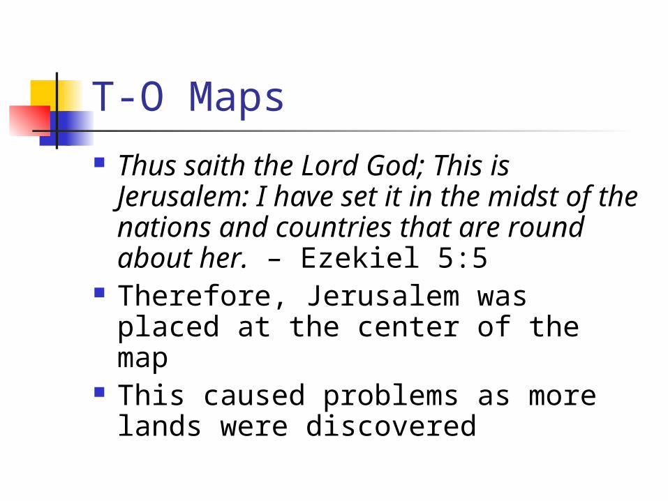
T-O Maps Thus saith the Lord God; This is
Jerusalem: I have set it in the midst of the nations and countries that are round about her. – Ezekiel 5:5
Therefore, Jerusalem was placed at the center of the map
This caused problems as more lands were discovered
T-O Maps
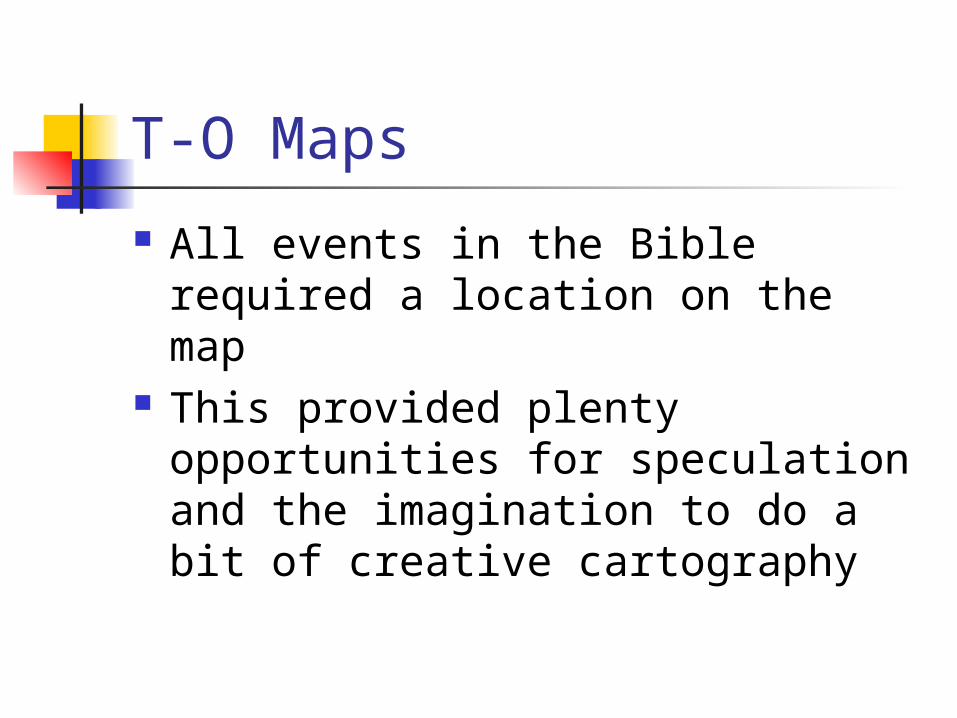
All events in the Bible required a location on the map
This provided plenty opportunities for speculation and the imagination to do a bit of creative cartography

Garden of Eden
At the top of the map (the east) geographers placed the Garden of Eden
Typically surrounded by a mountain range or a high wall, outside of which was a wasteland filled with wild beasts
Popular tales told of monks who traveled to locate it
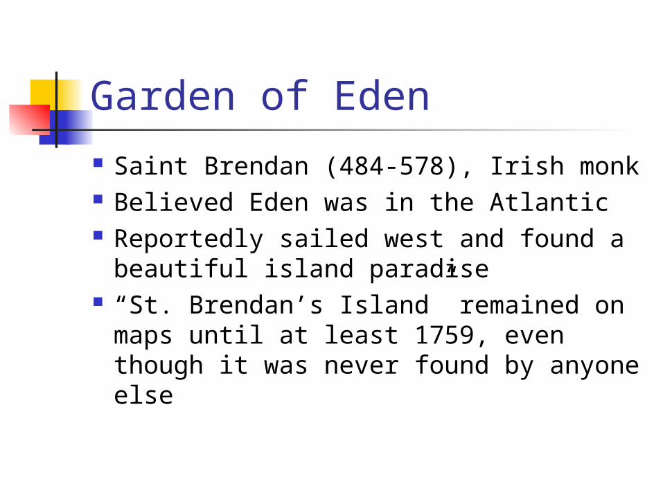
Garden of Eden
Saint Brendan (484-578), Irish monk Believed Eden was in the Atlantic Reportedly sailed west and found a
beautiful island paradise “St. Brendan’s Island” remained on
maps until at least 1759, even though it was never found by anyone else
Gog and Magog
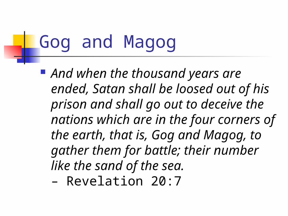
And when the thousand years are ended, Satan shall be loosed out of his prison and shall go out to deceive the nations which are in the four corners of the earth, that is, Gog and Magog, to gather them for battle; their number like the sand of the sea.– Revelation 20:7

Gog and Magog Ezekial and the Book of Revelation
both warned of Gog and Magog Usually located in the extreme north Alexander the Great was said to have
driven them onto a peninsula and had closed them in with an iron gate
Roger Bacon urged the study of geography to prepare for the invasion
Gog and Magog
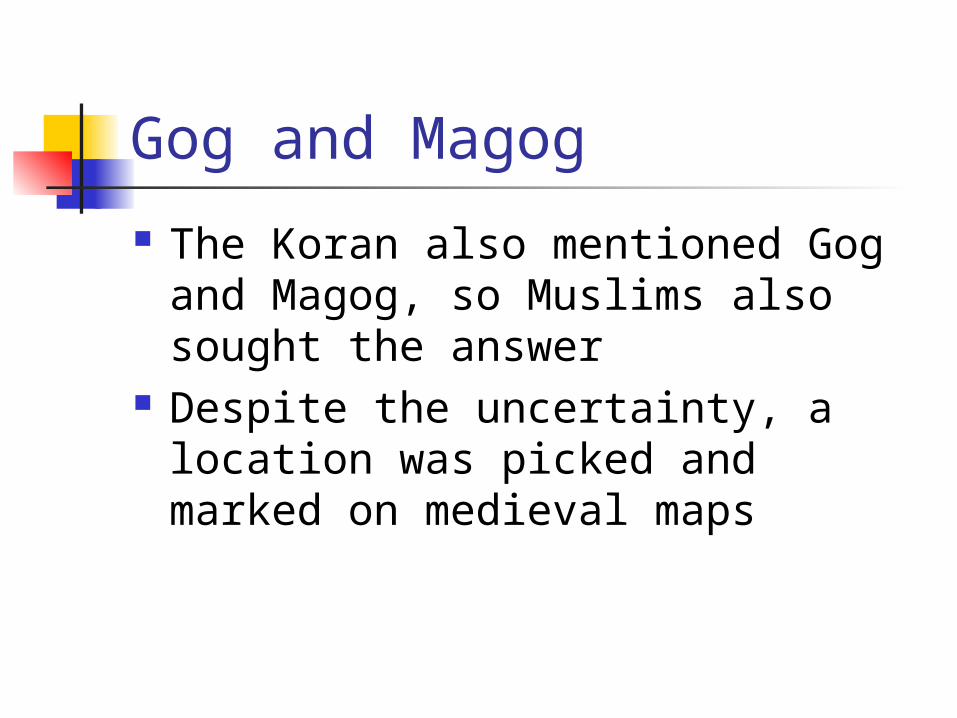
The Koran also mentioned Gog and Magog, so Muslims also sought the answer
Despite the uncertainty, a location was picked and marked on medieval maps

Prester John During the Crusades of the 12th century,
Europe sought allies in the Holy Land Prester John was said to be a priest-king who
had defeated the Muslims in his kingdom Descended from race of the Three Wise Men Ruled their land with solid emerald scepter Military genius, pious Christian, and
enormously wealthy!
Prester John
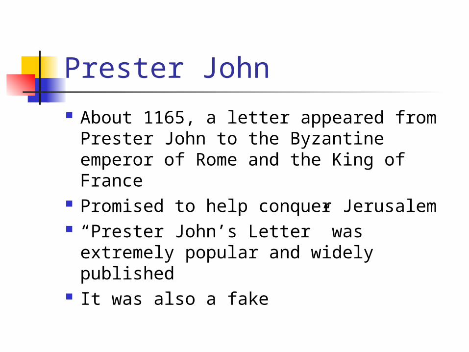
About 1165, a letter appeared from Prester John to the Byzantine emperor of Rome and the King of France
Promised to help conquer Jerusalem “Prester John’s Letter” was extremely
popular and widely published It was also a fake
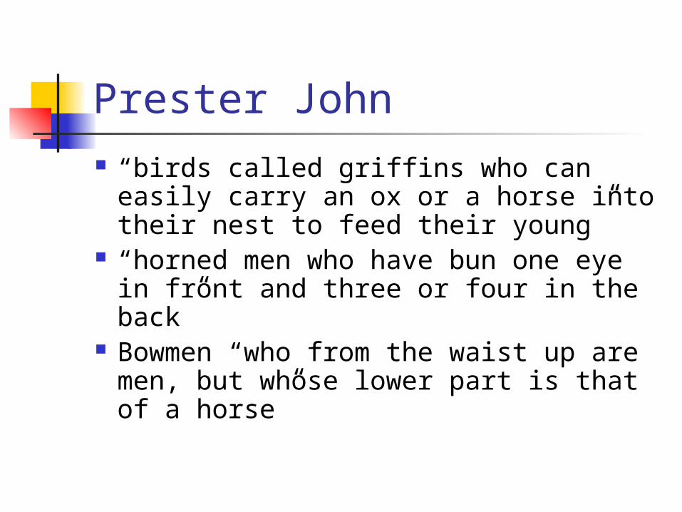
Prester John “birds called griffins who can easily
carry an ox or a horse into their nest to feed their young”
“horned men who have bun one eye in front and three or four in the back”
Bowmen “who from the waist up are men, but whose lower part is that of a horse”
Prester John
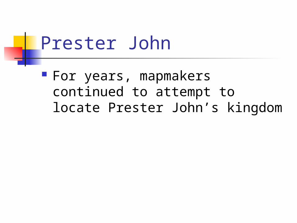
For years, mapmakers continued to attempt to locate Prester John’s kingdom

Trade with the East
Europe enjoyed trade with the east, including spices, silk, rugs, etc.
Silk Road, the overland route from eastern China through Baghdad to the Mediterranean or the Black Sea
Muslim Turks would not allow European merchants to travel to China directly

Help from the Mongols
1250-1350, Europeans were allowed to travel through these lands
Mongol Tartars had conquered Persia and opened the roads to all
Not Christian, but tolerant Could the Khan be converted? Was
the Khan Prester John? Gog and Magog?
Marco Polo
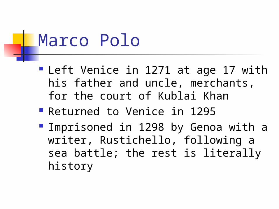
Left Venice in 1271 at age 17 with his father and uncle, merchants, for the court of Kublai Khan
Returned to Venice in 1295 Imprisoned in 1298 by Genoa with
a writer, Rustichello, following a sea battle; the rest is literally history
The Insignificant Ocean
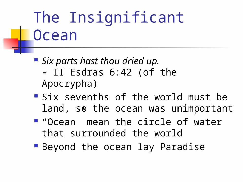
Six parts hast thou dried up.– II Esdras 6:42 (of the Apocrypha)
Six sevenths of the world must be land, so the ocean was unimportant
“Ocean” mean the circle of water that surrounded the world
Beyond the ocean lay Paradise
The Significant Ocean
After land routes were closed, Europe turned to the ocean to reach the East
Travel on the ocean required accurate charts of coastlines and harbors
Portolanos (harbor guides) were constantly corrected by real-world experience
Portolanos
The pioneer-masters of modern cartography […] found little that was useful in all the speculations of Christian theologian-cosmographers. But they gratefully incorporated the piecemeal everyday findings of working mariners.– The Discoverers, p 147
Catalan Atlas
1375, Made for King of Aragon by Abraham Cresques, a Jew on Majorca
Created by combining knowledge from numerous portolanos
Jerusalem still near center, Gog and Magog still present
Marco Polo’s “Description of the World”

Catalan Atlas
Finally showed India as a large peninsula
The cartographer’s greatest act of self-control was to leave parts of the earth blank […].– The Discoverers, p. 151

Ptolemy Returns Ptolemy’s Geography was translated
from Greek to Latin ca. 1400 Portolano charts were unprojected Ptolemy’s maps were projected Following his instructions, you could
reproduce his maps at any size with the same level of accuracy
Ptolemy’s method was quantitative
“Ptolemy” Returns
Actually, it seems likely that only the first part (the theory) of Ptolemy’s Geography survived intact
The maps and locations of cities seem likely to have been created by others
“Ptolemy” was taken as gospel – including the errors

Ptolemy’s Errors Circumference of the earth; size of Asia Southern continent joining Africa and
Asia – making it impossible to reach China by sea
The sea route to India would have to be opened in men’s minds, and on their maps, before it could be traversed by ships.– The Discoverers, p. 154
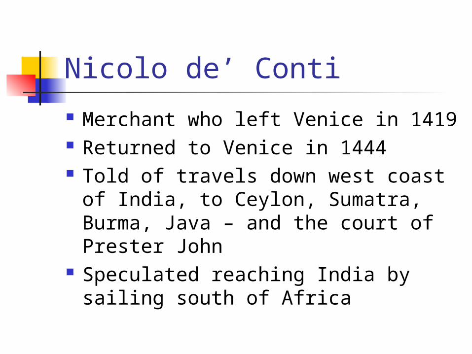
Nicolo de’ Conti
Merchant who left Venice in 1419 Returned to Venice in 1444 Told of travels down west coast of
India, to Ceylon, Sumatra, Burma, Java – and the court of Prester John
Speculated reaching India by sailing south of Africa

Ptolemy Lives!
Based on Nicolo de’ Conti’s speculations, some mapmakers began showing Africa as a peninsula and Indian Ocean as an open sea
Ptolemy’s name was the standard, much as Webster was the standard for English dictionaries
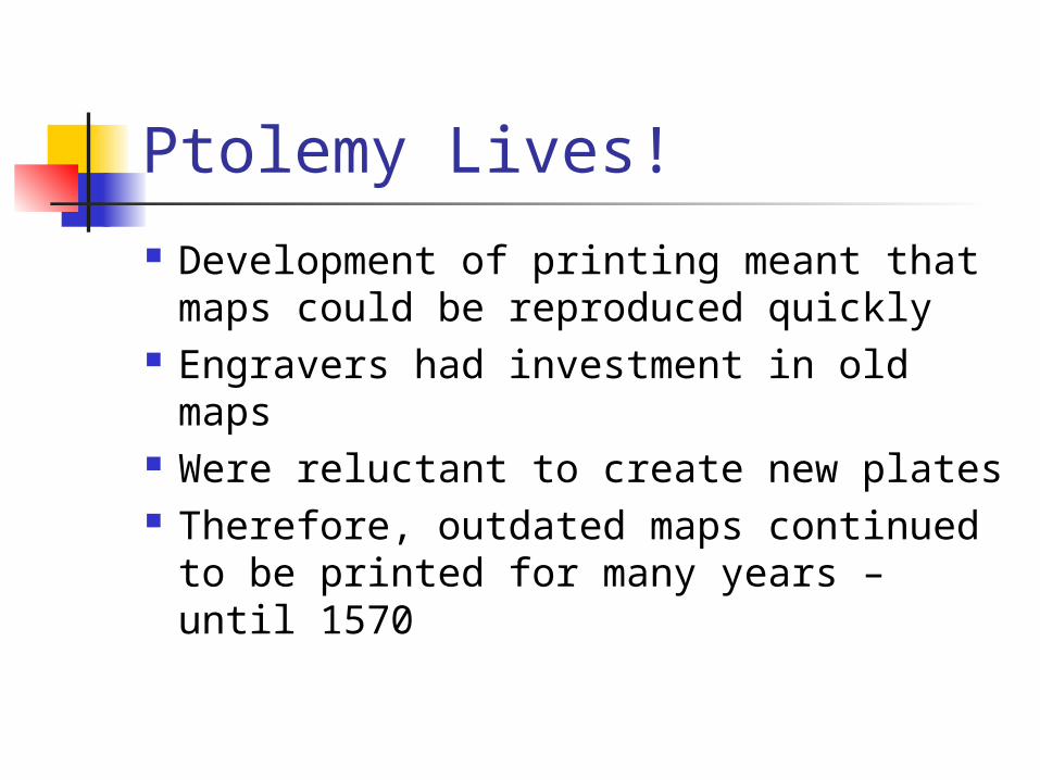
Ptolemy Lives! Development of printing meant that
maps could be reproduced quickly Engravers had investment in old maps Were reluctant to create new plates Therefore, outdated maps continued to
be printed for many years – until 1570

Prince Henry the Navigator Portuguese prince, 1394-1460 Explored mentally – but stayed at
home In the crusader’s world the known
was dogma and the unknown was unknowable. But in the explorer’s world the unknown was simply the not-yet-discovered.– The Discoverers, p. 161

Prince Henry the Navigator
Required his mariners to record what they saw on their voyages and to return that information to him at Sagres
Systematic accumulation of knowledge Sagres attracted Jews, Muslims, Arabs,
Italians, Germans, Scandinavians – even Africans
Prince Henry the Navigator
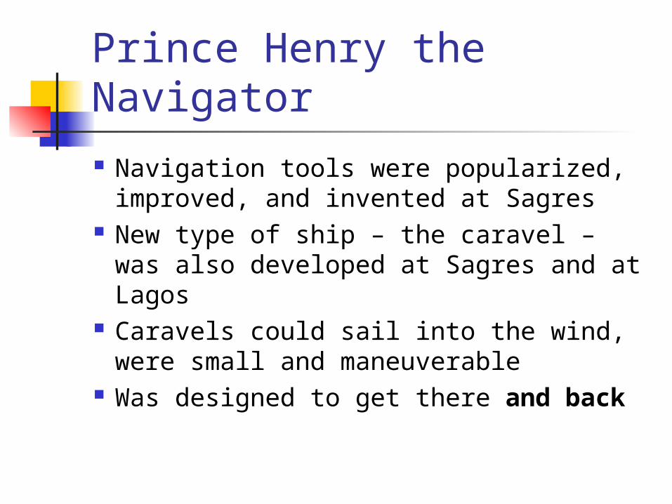
Navigation tools were popularized, improved, and invented at Sagres
New type of ship – the caravel – was also developed at Sagres and at Lagos
Caravels could sail into the wind, were small and maneuverable
Was designed to get there and back

Prince Henry the Navigator
Goal was sailing around Africa Cape Bojador was a mental barrier 1424-1434, sent 15 expeditions to
pass In 1435, finally passed In 1436, slave trade began When Henry died in 1460, profit
motive kept the Portuguese exploring
Bartholomeu Dias
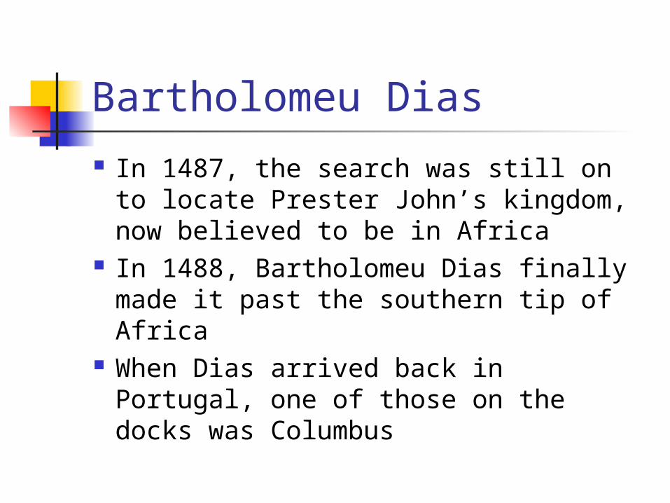
In 1487, the search was still on to locate Prester John’s kingdom, now believed to be in Africa
In 1488, Bartholomeu Dias finally made it past the southern tip of Africa
When Dias arrived back in Portugal, one of those on the docks was Columbus

Columbus
1451?-1506 Heard of idea of westward passage
to Indies in 1482 Worked from 1484-1492 to
convince a patron to sponsor such a voyage
Flat vs. spherical earth was not an issue; distance was the question
Columbus
Spain finally agreed in April 1492 Departed on August 2 Sighted land on October 12 (33
days) Repeated the voyage 3 more times Was forever convinced that what he
found was Asia or islands off the coast of Asia
Columbus
They were called voyages of discovery, but more precisely they should have been called voyages of confirmation. For someone less committed they might have produced tantalizing puzzles, planting seeds of doubt.– The Discoverers, p. 239
Columbus
Fresh waters from the Orinoco implied a great river and a vast continent
Christian doctrine said that such could not exist south of the equator
So, he decided that he had found the location of Paradise
Modern Flat-Earthers
The Flat Earth Society still existed until recently; Charles Johnson
Their home burned, along with all records of the society, in 1995
Johnson died in 2001 Skeptics of a spherical earth called
themselves “zetetics”

Modern Flat-Earthers?! Original
publication of CSICOP was called The Zetetic
After 3 issues, changed to The Skeptical Inquirer

And Finally…
Conclusions Questions? PowerPoint slides will be on the
web site: www.reall.org [email protected]


