summer 2012 ASK A FRIEND OR TWO OR THREE TO JOIN US, TOO. BETTER YET, GIVE THEM THE GIFT OF A MEMBERSHIP TO THE HILLTOWN LAND TRUST. HILLTOWN LAND TRUST 332 BULLITT ROAD ASHFIELD, MA 01330 $35 PER YEAR (OUR BASIC “LAND LOVER”) $50 PER YEAR $100 PER YEAR $500 PER YEAR $ _____ (OTHER) PER YEAR JOIN US I f you drive along Route 66 in Huntington and turn onto Searle Road, then left on Cullen Hill Road, you will pass by the restored North Hall on the right. Continue on Cullen Hill as it turns into a discontinued road, and you will be surrounded by what will soon be Hilltown Land Trust’s newest Conservation Restriction land: the Norwich Hill Wildlife Sanctuary. Much of the 65 acres is maturing second growth forest of mixed hardwoods and groves of conifers. The upper portion has 10 or more acres of open fields, faithfully mowed every year. The southern boundary runs along Pond Brook for over a quarter mile. Multiple small drainages cross the site, tributaries of either Pond Brook or the East Branch of the Westfield River. The Norwich Hill Sanctuary abuts a large Hull Forestland tract, which in turn abuts the Army Corps of Engineer’s lands of Knightville Dam and Reservation, greatly extending the greenway below Chesterfield Gorge and increasing viable wildlife habitat. The open fields preserve a rare opening in the vast Knightville area forest. The Sanctuary is ecologically valuable land to protect. The entire property is classified as prime forest land, as well as Biomap II supporting natural landscape, and Living Waters critical supporting watershed land. The property has a typical Hilltown history but with an unusual touch. Ruth Pardoe has chronicled some of this history: Norwich Hill Wildlife Sanctuary The Sanctuary was once part of a 160 acre farm, which first appears in the records (Forbes Library) of 1799, owned by a Lyman, who built the farmhouse which still stands—though renovated many times. One of the names appearing in the deed in the 19th century was that of Moses Hannum, who leased a quarter-acre from the owners, probably to expand the Hannum Mill. The mill produced axes and was on Pond Brook where Route 66 meets Searle Road today. In 1948, Gerald Hayes bought the farm from a family named Giroux. Evidently during this time there was a ski place—the Black Panther Ski Trails—in what is now the Knightville area. One year Farmer Hayes’ livestock were in the farm’s meadows for the summer, but they escaped and traveled the ski trails to the bottom of the tow where they were found and returned. Hike to Warner Falls with Rich Fournier NAME _____________________________ ADDRESS _____________________________ _____________________________ In 1968, Mr Hayes sold the farm to Ernest and Lynnea Whitten, who kept up the farm and fields but did not farm it. Later, Mr Whitten sold all but the 65 acres that is now the Norwich Hill Sanctuary. Lynnea Whitten kept the farm, but worried what would happen to it in the future. The farm’s transition to conserved land was accomplished by the owner and a committed group of friends, who were determined to keep the land from further development.This group formed a non-profit corporation in 1997, taking over the ownership of the parcel and naming it the Norwich Hill Wildlife Sanctuary. They have been working with Hilltown Land Trust since then to secure the conservation restriction for permanent preservation. We expect the Conservation Restriction to be finalized in the near future.
Transcript
s u m m e r 2 0 1 2 ask a friend or two or three to join us, too.
better yet, give them the gift of a membership to
the hilltown land trust.hilltown land trust
332 bullitt roadashfield, ma 01330
$35 per year (our basic “land lover”) $50 per year $100 per year $500 per year
$ _____ (other) per year
j o i n u s
If you drive along Route 66 in Huntington and turn onto Searle
Road, then left on Cullen Hill Road, you will pass by the restored North Hall on the right. Continue on Cullen Hill as it turns into a discontinued road, and you will be surrounded by what will soon be Hilltown Land Trust’s newest Conservation Restriction land: the Norwich Hill Wildlife Sanctuary.
Much of the 65 acres is maturing second growth forest of mixed hardwoods and groves of conifers. The upper portion has 10 or more acres of open fields, faithfully mowed every year. The southern boundary runs along Pond Brook for over a quarter mile. Multiple small drainages cross the site, tributaries of either Pond Brook or the East Branch of the Westfield River.
The Norwich Hill Sanctuary abuts a large Hull Forestland tract, which in turn abuts the Army Corps of Engineer’s lands of Knightville Dam and Reservation, greatly extending the greenway below Chesterfield Gorge and increasing viable wildlife habitat. The open fields preserve a rare opening in the vast Knightville area forest.
The Sanctuary is ecologically valuable land to protect. The entire property is classified as prime forest land, as well as Biomap II supporting natural landscape, and Living Waters critical supporting watershed land. The property has a typical Hilltown history but with an unusual touch. Ruth Pardoe has chronicled some of this history:
Norwich Hill Wildlife SanctuaryThe Sanctuary was once part of
a 160 acre farm, which first appears in the records (Forbes Library) of 1799, owned by a Lyman, who built the farmhouse which still stands—though renovated many times. One of the names appearing in the deed in the 19th century was that of Moses Hannum, who leased a quarter-acre from the owners, probably to expand the Hannum Mill. The mill produced axes and was on Pond Brook where Route 66 meets Searle Road today.
In 1948, Gerald Hayes bought the farm from a family named Giroux. Evidently during this time there was a ski place—the Black Panther Ski Trails—in what is now the Knightville area. One year Farmer Hayes’ livestock were in the farm’s meadows for the summer, but they escaped and traveled the ski trails to the bottom of the tow where they were found and returned.
Hike to Warner Falls with Rich Fournier
name
_____________________________address
_____________________________
_____________________________
In 1968, Mr Hayes sold the farm to Ernest and Lynnea Whitten, who kept up the farm and fields but did not farm it. Later, Mr Whitten sold all but the 65 acres that is now the Norwich Hill Sanctuary. Lynnea Whitten kept the farm, but worried what would happen to it in the future.
The farm’s transition to conserved land was accomplished by the owner and a committed group of friends, who were determined to keep the land from further development.This group formed a non-profit corporation in 1997, taking over the ownership of the parcel and naming it the Norwich Hill Wildlife Sanctuary. They have been working with Hilltown Land Trust since then to secure the conservation restriction for permanent preservation.
We expect the Conservation Restriction to be finalized in the near future.
h i l l t o w n l a n d t r u s t n e w s 3 s u m m e r 2 0 1 2
Situated along the eastern border of Berkshire County, Windsor sits
on a plateau in the Berkshire Hills, 12 miles northeast of Pittsfield. The highest town on the Berkshire Trail (Route 9 between Pittsfield and Williamsburg), Windsor’s elevation ranges from 1,400 feet in the east to 2,297 feet on Judges Hill. Windsor’s annual snowfall often sets a record for Berkshire County, making the groomed cross-country ski trails at Notchview Reservation a destination for people throughout the state.
The town center, at the junction of Routes 9 and 8A, includes a general store, the former Crane Community School (now housing the town offices and the Windsor Free Library), the Town Hall, and the Congregational Church. On a clear day, Mt. Greylock, the highest peak in the state, is easily visible to the north. The view from Windsor Hill may also include the peaks of the Catskills to the southwest, the Green Mountains to the north and east, and Mount Tom and Mt. Holyoke to the east. Windsor’s population is 900, with a concentration of houses on the west side of town adjoining Dalton.
The town is 35 square miles, much of which is heavily wooded.
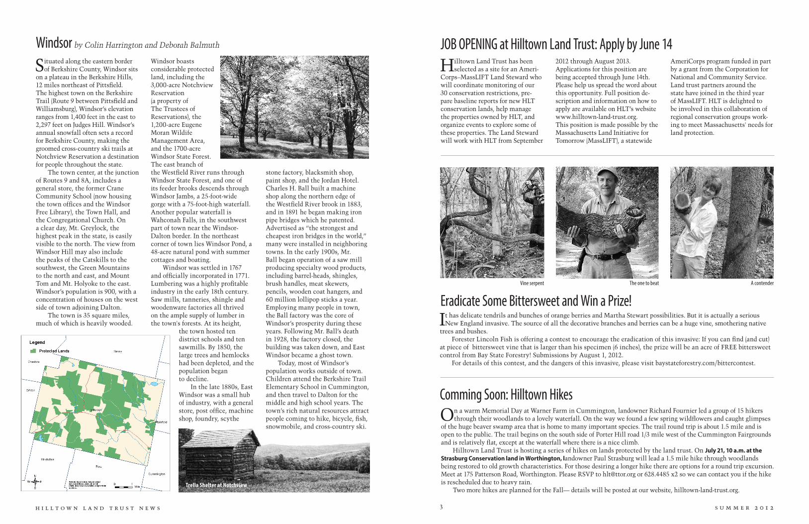
Windsor boasts considerable protected land, including the 3,000-acre Notchview Reservation (a property of The Trustees of Reservations), the 1,200-acre Eugene Moran Wildife Management Area, and the 1700-acre Windsor State Forest. The east branch of the Westfield River runs through Windsor State Forest, and one of its feeder brooks descends through Windsor Jambs, a 25-foot-wide gorge with a 75-foot-high waterfall. Another popular waterfall is Wahconah Falls, in the southwest part of town near the Windsor-Dalton border. In the northeast corner of town lies Windsor Pond, a 48-acre natural pond with summer cottages and boating.
Windsor was settled in 1767 and officially incorporated in 1771. Lumbering was a highly profitable industry in the early 18th century. Saw mills, tanneries, shingle and woodenware factories all thrived on the ample supply of lumber in the town's forests. At its height,
the town hosted ten district schools and ten sawmills. By 1850, the large trees and hemlocks had been depleted, and the population began to decline.
In the late 1880s, East Windsor was a small hub of industry, with a general store, post office, machine shop, foundry, scythe
Windsor by Colin Harrington and Deborah Balmuth
stone factory, blacksmith shop, paint shop, and the Jordan Hotel. Charles H. Ball built a machine shop along the northern edge of the Westfield River brook in 1883, and in 1891 he began making iron pipe bridges which he patented. Advertised as “the strongest and cheapest iron bridges in the world,” many were installed in neighboring towns. In the early 1900s, Mr. Ball began operation of a saw mill producing specialty wood products, including barrel-heads, shingles, brush handles, meat skewers, pencils, wooden coat hangers, and 60 million lollipop sticks a year. Employing many people in town, the Ball factory was the core of Windsor’s prosperity during these years. Following Mr. Ball’s death in 1928, the factory closed, the building was taken down, and East Windsor became a ghost town.
Today, most of Windsor’s population works outside of town. Children attend the Berkshire Trail Elementary School in Cummington, and then travel to Dalton for the middle and high school years. The town’s rich natural resources attract people coming to hike, bicycle, fish, snowmobile, and cross-country ski.
JOB OPENING at Hilltown Land Trust: Apply by June 14Hilltown Land Trust has been
selected as a site for an Ameri-Corps–MassLIFT Land Steward who will coordinate monitoring of our 30 conservation restrictions, pre-pare baseline reports for new HLT conservation lands, help manage the properties owned by HLT, and organize events to explore some of these properties. The Land Steward will work with HLT from September
2012 through August 2013. Applications for this position are being accepted through June 14th. Please help us spread the word about this opportunity. Full position de-scription and information on how to apply are available on HLT’s website www.hilltown-land-trust.org. This position is made possible by the Massachusetts Land Initiative for Tomorrow (MassLIFT), a statewide
AmeriCorps program funded in part by a grant from the Corporation for National and Community Service. Land trust partners around the state have joined in the third year of MassLIFT. HLT is delighted to be involved in this collaboration of regional conservation groups work-ing to meet Massachusetts' needs for land protection.
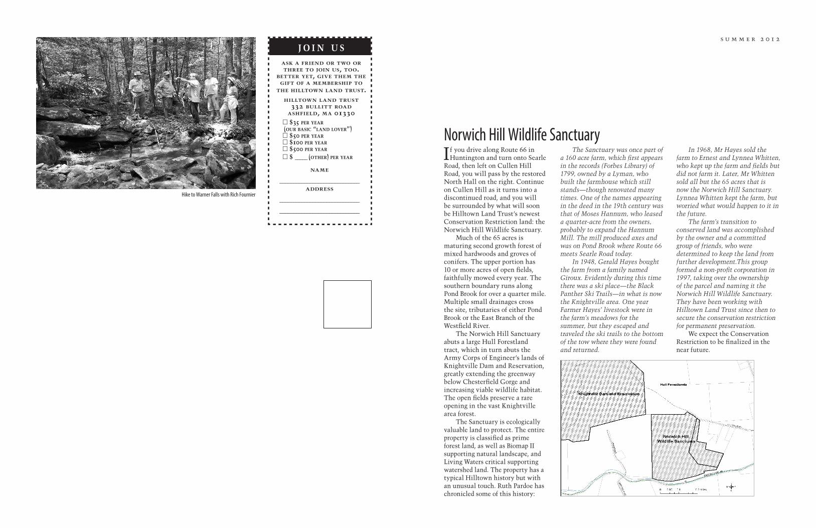
On a warm Memorial Day at Warner Farm in Cummington, landowner Richard Fournier led a group of 15 hikers through their woodlands to a lovely waterfall. On the way we found a few spring wildflowers and caught glimpses
of the huge beaver swamp area that is home to many important species. The trail round trip is about 1.5 mile and is open to the public. The trail begins on the south side of Porter Hill road 1/3 mile west of the Cummington Fairgrounds and is relatively flat, except at the waterfall where there is a nice climb.
Hilltown Land Trust is hosting a series of hikes on lands protected by the land trust. On July 21, 10 a.m. at the Strasburg Conservation land in Worthington, landowner Paul Strasburg will lead a 1.5 mile hike through woodlands being restored to old growth characteristics. For those desiring a longer hike there are options for a round trip excursion. Meet at 175 Patterson Road, Worthington. Please RSVP to [email protected] or 628.4485 x2 so we can contact you if the hike is rescheduled due to heavy rain.
Two more hikes are planned for the Fall— details will be posted at our website, hilltown-land-trust.org.
It has delicate tendrils and bunches of orange berries and Martha Stewart possibilities. But it is actually a serious New England invasive. The source of all the decorative branches and berries can be a huge vine, smothering native
trees and bushes.Forester Lincoln Fish is offering a contest to encourage the eradication of this invasive: If you can find (and cut)
at piece of bittersweet vine that is larger than his specimen (6 inches), the prize will be an acre of FREE bittersweet control from Bay State Forestry! Submissions by August 1, 2012.
For details of this contest, and the dangers of this invasive, please visit baystateforestry.com/bittercontest.