81
Welcome to PetaJakarta.org Student Presentation
| Date post: | 15-Jul-2015 |
| Category: |
Education |
| Upload: | smart-infrastructure-facility |
| View: | 105 times |
| Download: | 0 times |

Welcome to PetaJakarta.org
Student Presentation

PetaJakarta.org Partners

Welcome
Ms Tania Brown, Chief Operating Officer, SMART Infrastructure Facility, University of
Wollongong

Introduction
Dr Tomas Holderness, Geometrics Research Fellow, SMART Infrastructure Facility,
University of Wollongong

Photo credit: Etienne Turpin

Joint Pilot Study 2014/2015
60 days:
1,000 confirmed reports
69,000 users
100,000 #flood tweets
2.2m Twitter impressions


• Group B funded by DFAT’s New Colombo Plan
• UOW matched funds for group A• Group A:
• Flood Preparation, Geo-tagging & Shelter analysis
• Group B:• Flood Management, response &
impacts


Climate Change
• Low-lying coastal systems are especially sensitive to:
- Ocean acidity
- Sea level rise
- Elevated ocean temperature
(Photos by Chelsea Flood)

Climate Change
• Low-lying coastal systems are especially sensitive to:
- Ocean acidity
- Sea level rise
- Elevated ocean temperature
(Photos by Chelsea Flood)

Climate Change
• Projected sea level increase of 0.35 to 0.70 m by the year 2100(Nurse et al 2014)
• “Virtually certain” that rates of global mean sea level rise are
accelerating (IPCC 2014, eds. Field et al)
Global averaged and Pacific/Indian Ocean averaged sea levels over the period 1993 to 2001. T/P represents Topex/Poseidon data. Mathematical reconstruction (‘reconstructed’) of the data also shown (Church et al, 2006, p. 160)


Organisations
BPBD
– Disaster mitigation agency who’s focus is on fair and equal relief efforts
through:
• Risk reduction
• Emergency response
• Disaster management
Oxfam and Aksara
– Key resources for the populations largely affected during the floods including:
• Water
• Food
• Hygiene

– Education on the issues
of river health and the related
overall health of the
population
– A focus for the Ciliwung
Institute is garbage disposal
Ciliwung Institute
Organisations

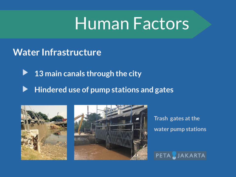
Adversities that this garbage brings;
• Public health issues
• Constriction of the flow path
• Reduced efficiencies and extra
maintenance of water infrastructure

– Improving methods for garbage disposal
– Education on step filtration for wastewater treatment
– Awareness of using biogas as an energy source
Initiatives


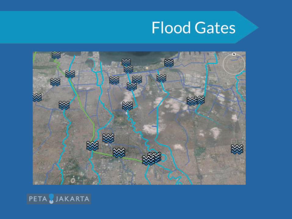


Katulampa Gate

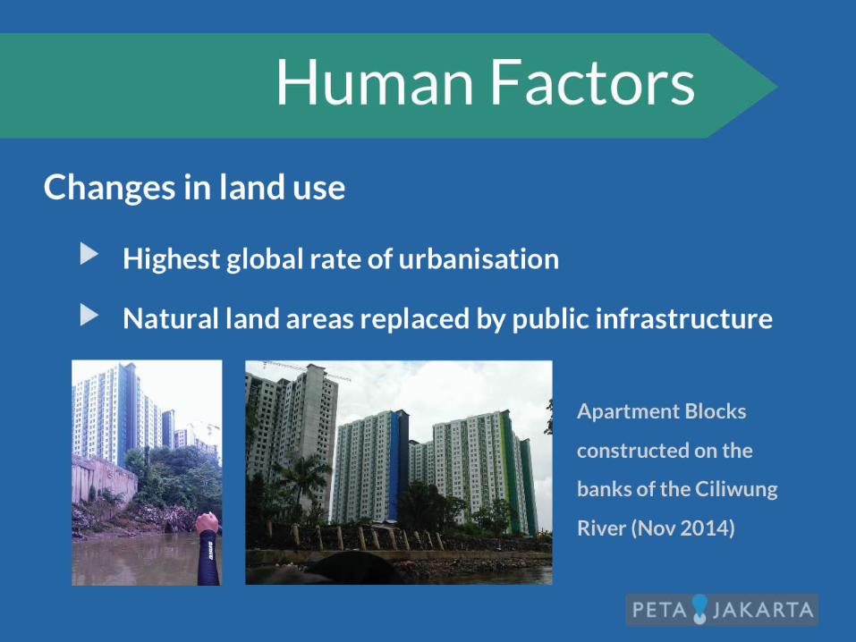
Urbanisation
• Jakarta has the highest level of Urbanisation in the world
• The Population of Jakarta has doubled over the last 10
years
• Urban pull from Java to Jakarta will continue due to
modern economics
• Urban Sprawl has led to extreme changes in the
watershed
• Increased impermeable surfaces increase the frequency
and magnitude

Infographic emphasising how urbanisation increases the intensity and speed of banjir, a growing problem for Jakarta.

Construction of Apartments for evicted residents of the Penjaringan Region. Large areas of previously permeable land will increase the risk of flash flooding to nearby residents. 24/01/2015.

• High rubbish, sediment and nutrient levels in flood waters
have drastically reduced local marine water quality
• Fishing Industry backbone of Northern Jakarta economy,
specifically poorer communities
• Bay near Penjaringan pumping station unfishable
• All of Jakarta’s problems concentrated onto one community
• Government action is addressing this problem
Fisheries

3 pipes at the Penjaringan Pumping station that discharge the majority of the greater Jakarta watershed's into the ocean. Matt Ellis 24/01/2015.

Dredging Operations at the Penjaringan reservoir is one way government is currently addressing water quality. Matt Ellis 24/01/2015.

• Jakarta is a megacity. Population will increase. Planning
foresight will solve many future problems.
• Solving the Banjir problems will have flow on effects to all of
Jakarta.
• Sustainable design must be the ultimate goal of Jakarta to
ensure a bright future.
Future Implications

• BPBD collaborate with a range of groups using spatial models
• Applications include:
– Representing affected areas, contingency planning and flood risk
analysis
• BPBD use models to regularly update the public on current conditions
– Areas currently experiencing
flooding
– Water depth in these areas
through simple colour coding
Flood Assessment
Example of BPBD output map (Twitter)

Contingency Planning
Example of evacuation centre (Vanessa Davis)
• Flood data overlays population and infrastructure data
- Allows estimation of infrastructure damage and economic
costs
• Population data allows quantification of emergency resources
needed
- Particularly useful for BPBD to prepare for future events

• The model includes comprehensive
data from
- Lidar DEM at 1m resolution
- Weather data from radar
- River discharge and water levels
collected by BPBD
- Hydrological and hydrodynamic
modelling
- Tide gauges
Flood Risk Model (Insurance Industry)
Example DEM (iRisiko presentation)
• Potential for future use in prediction, however;
- Data must be up to date: highly dynamic, rapidly expanding city
- Unmeasured variables such as garbage can change waterway
dynamics

• Perspective on practical skills
learned in my degree
• Seeing both the human and
theoretical side to the issues
• BPBD showed that complex
issues can be tackled with
innovative approaches and
collaboration
Experience and Insight Gained

Shelters and Supplies

Types of Shelters
• Shelters vary both in size and building type
• There are several types of shelters
– Schools
– Apartment Blocks
– Mosques and Churches
– Car parks
– Community Centres
Photo courtesy of Tim Norris
Shelter Types

At the Shelters• Different areas can and will have different needs dependent on their
location.
• This information needs to be given to the people who distribute the
supplies and the appropriate amount of required items can be
transported to the shelters in need.
Photographs courtesy of Vanessa Davis

Assessing the Needs
• Various NGO’s such as Oxfam and Aksara work closely to
assess what types of aid is needed in what areas.
• From an Engineering perspective, this assessment of a need
the first step of the creation of a solution to an issue.
Photograph courtesy of Vanessa Davis

Key Issues
• After visiting an evacuation shelter in the Cawung district it was
evident that the main issues associated with the use of evacuation
shelters are:
- Health
- Sanitation
- Warmth
- Food
Photograph courtesy of
Vanessa Davis

Key Issues• Health
– Provide adequate medical support either on site or within close
proximity
• Sanitation
– Ensure that there is a reasonable people-to-toilet ratio
Photograph courtesy of Vanessa Davis

Key Issues• Warmth
– Provision of blankets/beds
• Food
– Have a kitchen capable of cooking basic foods in large quantities
Photograph courtesy of Vanessa Davis

Shelters• Need to be able to communicate the type aid required and the
amount of that aid. It is good at the moment, but there is room for
improvement.
• Need to ensure that everyone who needs to come to the shelter can
stay and is able to access to adequate medical facilities
Photograph courtesy of Vanessa Davis

Shelters
• Need to seriously consider the significance of proper
toilet facilities and quality meals on the morale of
people in the evacuation centres.
• More forethought needs to go into the layout of the city
in terms of location of evacuation centres. As the city
expands this needs to be of major significance.
– Appropriate locations may change over time.


Q & A
SMART Infrastructure Facility

Close
Ms Tania Brown, Chief Operating Officer, SMART Infrastructure Facility, University of
Wollongong
SMART Infrastructure Facility


