+ All Categories
Home > Documents > PLANNING MAP OF HAITI OPERATIOANAL · Bahia Escocesa Bahia de Samana Bahia de Neiba Bahía de Nipe...

PLANNING MAP OF HAITI OPERATIOANAL · Bahia Escocesa Bahia de Samana Bahia de Neiba Bahía de Nipe...

Date post: 20-Mar-2020
Category:
Upload: others
View: 5 times
Download: 0 times
Share this document with a friend
1
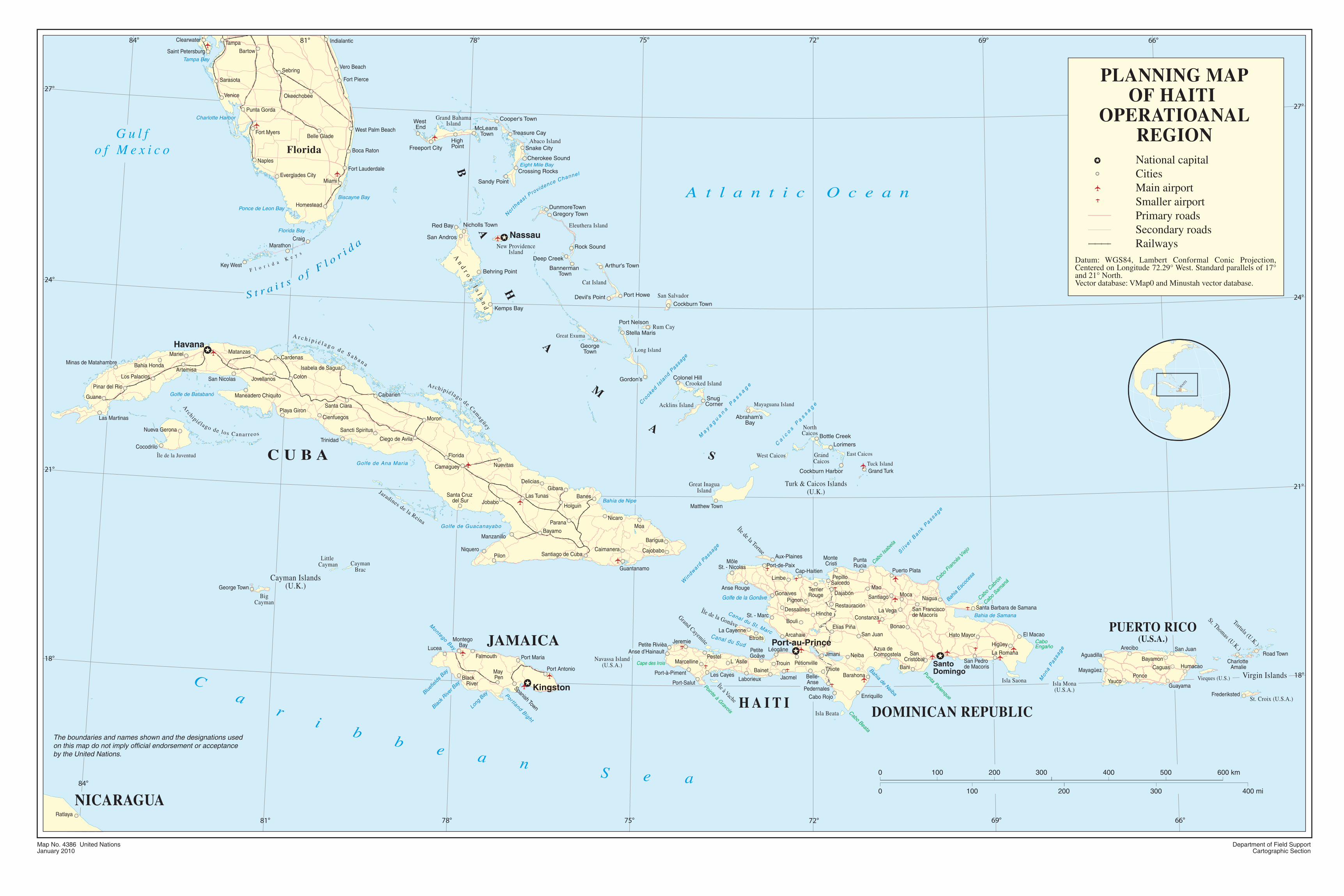
Ratlaya Falmouth Lucea Black River Montego Bay May Pen Spanish Town Port Maria Port Antonio Saint Petersburg Tampa Clearwater West Palm Beach Miami Fort Lauderdale Key West Naples Venice Punta Gorda Fort Myers Sarasota Bartow Indialantic Sebring Okeechobee Belle Glade Homestead Everglades City Craig Marathon Boca Raton Fort Pierce Vero Beach La Romana Jimani San Juan Elías Piña La Vega Constanza Bonao El Macao Hato Mayor Higüey San Francisco de Macorís Barahona Santiago Mao Moca Nagua San Pedro de Macoris Pedernales Cabo Rojo Monte Cristi Pepillo Salcedo Puerto Plata Punta Rucia Bani Santa Barbara de Samana Pinar del Rio Matanzas Cienfuegos Sancti Spiritus Santa Clara Camaguey Ciego de Avila Santiago de Cuba Bayamo Holguin Las Tunas Guantanamo Nueva Gerona Cardenas Manzanillo Minas de Matahambre Guane Bahia Honda Las Martinas Cocodrilo Los Palacios San Nicolas Jovellanos Mariel Artemisa Colon Maneadero Chiquito Playa Giron Trinidad Caibarien Isabela de Sagua Moron Florida Niquero George Town Pilon Nuevitas Delicias Santa Cruz del Sur Parana Jobabo Gibara Banes Nicaro Moa Caimanera Cajobabo Barigua West End High Point Sandy Point Red Bay San Andros McLeans Town Freeport City Cooper's Town Treasure Cay Snake City Cherokee Sound Crossing Rocks Nicholls Town Behring Point Kemps Bay Gregory Town Rock Sound DunmoreTown Bannerman Town Deep Creek Arthur's Town Devil's Point Stella Maris Port Nelson Port Howe Cockburn Town George Town Gordon’s Matthew Town Bottle Creek Lorimers Grand Turk Cockburn Harbor Abraham’s Bay Colonel Hill Snug Corner San Juan Arecibo Ponce Humacao Mayagüez Bayamon Aguadilla Guayama Yauco Caguas Road Town Charlotte Amalie Frederiksted Pétionville Les Cayes La Cayenne Etroits Jeremie Petite Rivièa Petite Goâve Anse d’Hainault Marcelline Anse Rouge Port-Salut Port-à-Piment Pestel Port-de-Paix Aux-Plaines Limbe Cap-Haitien Hinche Arcahaie Terrier Rouge Pignon Bouli Dajabón Gonaives Restauración St. - Marc Dessalines Jacmel Trouin Léogâne L ’Asile Belle- Anse Thiote Enriquillo Neiba Azua de Compostela San Cristóbal Bainet Laborieux Môle St. - Nicolas Cape des Irois Pointe à Gravois Cabo Beata Punta Palenque Cabo Francés Viejo Cabo Cabrón Cabo Samaná Cabo Engaño Cabo Isabela Canal du Sud Canal du St. Marc Windward Passage Golfe de la Gonâve Golfe de Guacanayabo Silver Bank Passage Caicos Passage Mayaguana Passage Crooked Island Passage N o r t h ea s t P r o v i d e n c e C h a n n e l Golfe de Ana Maria Golfe de Batabanó Montego Bay Portland Bight Mona Passage Bahia Escocesa Bahia de Samana Bahia de Neiba Bahía de Nipe Florida Bay Ponce de Leon Bay Charlotte Harbor Tampa Bay Biscayne Bay Eight Mile Bay Bluefields Bay Black River Bay Long Bay Gulf of Mexico Atlantic Ocean S t r a i t s o f F l o r i d a C a r i b b e a n S e a F l o r i d a K e y s National capital Cities Main airport Smaller airport Primary roads Secondary roads Railways Datum: WGS84, Lambert Conformal Conic Projection, Centered on Longitude 72.29° West. Standard parallels of 17° and 21° North. Vector database: VMap0 and Minustah vector database. HAITI PLANNING MAP OF HAITI OPERATIOANAL REGION CUBA Florida HAITI Cayman Islands (U.K.) Virgin Islands JAMAICA DOMINICAN REPUBLIC NICARAGUA Île de la Tortue Île de la Gonâve Île à Vache Grand Cayemite Navassa Island (U.S.A.) PUERTO RICO (U.S.A.) B A H A M A S Jaradines de la Reina A r c h i p i é l a g o d e S a b a n a A r c h i p i é l a g o d e C a m a g ü e y Isla Mona (U.S.A.) A n d r o s I s l a n d Turk & Caicos Islands (U.K.) Grand Bahama Island Abaco Island New Providence Island Great Exuma Cat Island Eleuthera Island Long Island Acklins Island North Caicos Grand Caicos Great Inagua Island East Caicos West Caicos Tuck Island Crooked Island Mayaguana Island Rum Cay San Salvador Île de la Juventud A r c h i p i él a g o d e l o s C a n a r r e o s Little Cayman Big Cayman Cayman Brac Isla Saona Isla Beata Tortula (U.K.) St. Thomas (U.K.) St. Croix (U.S.A.) Vieques (U.S.) Havana Kingston Port-au-Prince Santo Domingo Nassau 18° 18° 21° 24° 27° 21° 24° 27° 75° 78° 81° 84° 72° 69° 66° 75° 78° 81° 84° 72° 69° 66° Map No. 4386 United Nations January 2010 Department of Field Support Cartographic Section The boundaries and names shown and the designations used on this map do not imply official endorsement or acceptance by the United Nations. 0 0 100 200 200 300 100 300 400 mi 500 600 km 400
Transcript

Ratlaya

FalmouthLucea

Black River

Montego Bay

May Pen

Spanish Town

Port Maria

Port Antonio

Saint Petersburg

TampaClearwater

West Palm Beach

Miami

Fort Lauderdale

Key West

Naples

Venice

Punta Gorda

Fort Myers

Sarasota

Bartow

Indialantic

Sebring

Okeechobee

Belle Glade

Homestead

Everglades City

CraigMarathon

Boca Raton

Fort Pierce

Vero Beach

La RomanaJimani

San JuanElías Piña

La VegaConstanza

BonaoEl MacaoHato Mayor

Higüey

San Franciscode Macorís

Barahona

Santiago

MaoMoca

Nagua

San Pedrode Macoris

PedernalesCabo Rojo

Monte Cristi

PepilloSalcedo

Puerto Plata

PuntaRucia

Bani

Santa Barbara de Samana

Pinar del Rio

Matanzas

Cienfuegos

Sancti Spiritus

Santa Clara

Camaguey

Ciego de Avila

Santiago de Cuba

Bayamo

Holguin

Las Tunas

Guantanamo

Nueva Gerona

Cardenas

Manzanillo

Minas de Matahambre

Guane

Bahia Honda

Las Martinas

Cocodrilo

Los Palacios San Nicolas Jovellanos

Mariel

ArtemisaColon

Maneadero Chiquito

Playa Giron

Trinidad

Caibarien

Isabela de Sagua

Moron

Florida

Niquero

George Town

Pilon

Nuevitas

Delicias

Santa Cruz del Sur

Parana

Jobabo

GibaraBanes

NicaroMoa

Caimanera Cajobabo

Barigua

West End

HighPoint

Sandy Point

Red Bay

San Andros

McLeans Town

Freeport City

Cooper's Town

Treasure Cay

Snake City

Cherokee Sound

Crossing Rocks

Nicholls Town

Behring Point

Kemps Bay

Gregory Town

Rock Sound

DunmoreTown

Bannerman Town

Deep CreekArthur's Town

Devil's Point

Stella Maris

Port Nelson

Port Howe

Cockburn Town

GeorgeTown

Gordon’s

Matthew Town

Bottle Creek

Lorimers

Grand TurkCockburn Harbor

Abraham’s Bay

Colonel Hill

Snug Corner

San JuanArecibo

Ponce

HumacaoMayagüez

BayamonAguadilla

GuayamaYauco

Caguas

Road TownCharlotte

Amalie

Frederiksted

Pétionville

Les Cayes

La CayenneEtroits

JeremiePetite RivièaPetite Goâve

Anse d’Hainault

Marcelline

Anse Rouge

Port-Salut

Port-à-Piment

Pestel

Port-de-Paix

Aux-Plaines

LimbeCap-Haitien

Hinche

Arcahaie

TerrierRouge

Pignon

Bouli

DajabónGonaives

Restauración

St. - MarcDessalines

Jacmel

Trouin

Léogâne

L ’Asile

Belle-Anse

Thiote

Enriquillo

NeibaAzua deCompostela San

Cristóbal

Bainet

Laborieux

MôleSt. - Nicolas

Cape des Irois

Pointe à Gravois Cabo Beata

Punta Palenque

Cabo

Fran

cés V

iejo

Cabo

Cabró

n

Cabo

Saman

á

Cabo Engaño

Cabo

Isabe

la

Canal du Sud

Canal du St. Marc

Win

dward

Pass

age

Golfe de la Gonâve

Golfe de Guacanayabo

Si l v

e r B

ank Passage

Ca

i co

s P

as

sa

ge

Ma

y ag

ua

na

Pa

ss

ag

e

Cro

oked Is

land P

assage

Nor t

heast Providence Channel

Golfe de Ana Maria

Golfe de Batabanó

Montego Bay

Por tland Bight

Mon

a P

assa

ge

Bahia

Escoc

esa

Bahia de Samana

Bahia de Neiba

Bahía de Nipe

Florida Bay

Ponce de Leon Bay

Charlotte Harbor

Tampa Bay

Biscayne Bay

Eight Mile Bay

Bluefie

lds B

ay

Black R

iver B

ay

Long

Bay

G u l fo f M e x i c o

A t l a n t i c O c e a n

S t r a i t s o f F l o r i d a

Ca

ri

bb e a n S e a

F l o r i d a K e y s

National capitalCitiesMain airportSmaller airport Primary roadsSecondary roadsRailways

Datum: WGS84, Lambert Conformal Conic Projection, Centered on Longitude 72.29° West. Standard parallels of 17° and 21° North. Vector database: VMap0 and Minustah vector database.

HAITI

PLANNING MAPOF HAITI

OPERATIOANALREGION

C U B A

Florida

H A I T I

Cayman Islands(U.K.)

Virgin Islands

JAMAICA

DOMINICAN REPUBLIC

NICARAGUA

Île de la Tortue

Île de la Gonâve

Île à Vache

Grand Cayemite

Navassa Island(U.S.A.)

PUERTO RICO(U.S.A.)

B

A

H

A

M

A

S

Jaradines de la Reina

A r c h i p i é l a g o d e S a b a n a

Archipiélago de Camagüey

Isla Mona(U.S.A.)

An

dr o

s I s

l an

d

Turk & Caicos Islands(U.K.)

Grand BahamaIsland

Abaco Island

New ProvidenceIsland

Great Exuma

Cat Island

Eleuthera Island

Long Island

Acklins Island

North Caicos

Grand Caicos

Great InaguaIsland

East Caicos West Caicos Tuck Island

Crooked Island

Mayaguana Island

Rum Cay

San Salvador

Île de la Juventud

Archipié lago de los Canarreos

Little Cayman

BigCayman

CaymanBrac

Isla Saona

Isla Beata

Tortula (U.K.)

St. Thomas (U.K.)

St. Croix (U.S.A.)

Vieques (U.S.)

Havana

Kingston

Port-au-Prince

Santo Domingo

Nassau

18°

18°

21°

24°

27°

21°

24°

27°

75°78°81°

84°

72° 69° 66°

75°78°81°84° 72° 69° 66°

Map No. 4386 United NationsJanuary 2010

Department of Field SupportCartographic Section

The boundaries and names shown and the designations usedon this map do not imply official endorsement or acceptanceby the United Nations.

0

0 100 200

200 300 100

300 400 mi

500 600 km400

Recommended