+ All Categories
Home > Documents > the Open Source server for the dissemination of...

the Open Source server for the dissemination of...

Date post: 19-Apr-2018
Category:
Upload: vukien
View: 230 times
Download: 1 times
Share this document with a friend
2
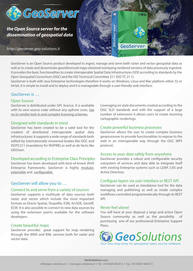
GeoSolutions s.a.s. [email protected] www.geo-solutions.it Tel. +39 0584 962313 Fax +39 0584 1660272 http://geoserver.geo-solutions.it the Open Source server for the dissemination of geospatial data GeoServer by GeoSolutions GeoServer is an Open Source product developed to ingest, manage and serve both raster and vector geospatial data as well as to create and disseminate georeferenced maps obtained overlaying rendered versions of data previously ingested. It provides the basic functionalities to create interoperable Spatial Data Infrastructures (SDI) according to standards by the Open Geospatial Consortium (OGC) and the ISO Technical Committee 211 (ISO TC 21 1). GeoServer is built with Java Enterprise technologies therefore it works on Windows, Linux and Mac platform either 32 or 64 bit, it is simple to install and to deploy and it is manageable through a user-friendly web interface. GeoServer is … Open Source GeoServer is distributed under GPL licence. It is available with its own source code without any upfront costs. Say no to vendor lock-in and complex licensing schemes. Designed with standards in mind GeoServer has been created to be a valid tool for the creation of distributed interoperable spatial data infrastructures: it supports a wide range of standards both edited by internationally renowned bodies like OGC and ISOTC211 (mandatory for INSPIRE) as well as de-facto like GEOJson. Developed according to Enterprise Class Principles GeoServer has been developed with best-of-breed JAVA Enterprise frameworks. GeoServer is highly modular, extensible and configurable. GeoServer will allow you to … Connect to and serve from a variety of sources GeoServer supports a multitude of data sources both raster and vector which include the most important formats as Oracle Spatial, Shapefile, ESRI, ArcSDE, Geotiff, ECW. It is also possible to connect to new data sources by using the extension points available for the software developers. Create beautiful maps GeoServer provides great support for map rendering through the WMS and KML services both for raster and vector data. Leveraging on style documents created according to the OGC SLD standards and with the support of a large number of extensions it allows users to create stunning cartographic renderings. Create powerful business processes GeoServer allows the user to create complex business geoprocesses to provide functionalities to expose to the web in an interoperable way through the OGC WPS protocol. Access to your data safely from anywhere GeoServer provides a robust and configurable security subsystem of services and data able to integrate itself with existing Enterprise systems such as LDAP, CAS and Active Directory. Configure layers via user interface or REST API GeoServer can be used as standalone tool for the data managing and publishing as well as inside complex workflows controlled programmatically through its REST API. Never feel alone! You will have at your disposal a large and active Open Source community as well as the possibility of purchasing one of our professional Enterprise Support Plans. Your one-stop-shop for geospatial open source software
Transcript

GeoSolutions [email protected] www.geo-solutions.it Tel. +39 0584 962313 Fax +39 0584 1660272

http://geoserver.geo-solutions.it

the Open Source server for the dissemination of geospatial data

GeoServer

by GeoSolutions

GeoServer is an Open Source product developed to ingest, manage and serve both raster and vector geospatial data as well as to create and disseminate georeferenced maps obtained overlaying rendered versions of data previously ingested. It provides the basic functionalities to create interoperable Spatial Data Infrastructures (SDI) according to standards by the Open Geospatial Consortium (OGC) and the ISO Technical Committee 211 (ISO TC 21 1).GeoServer is built with Java Enterprise technologies therefore it works on Windows, Linux and Mac platform either 32 or 64 bit, it is simple to install and to deploy and it is manageable through a user-friendly web interface.

GeoServer is …Open SourceGeoServer is distributed under GPL licence. It is available with its own source code without any upfront costs. Say no to vendor lock-in and complex licensing schemes.

Designed with standards in mindGeoServer has been created to be a valid tool for the creation of distributed interoperable spatial data infrastructures: it supports a wide range of standards both edited by internationally renowned bodies like OGC and ISOTC211 (mandatory for INSPIRE) as well as de-facto like GEOJson.

Developed according to Enterprise Class PrinciplesGeoServer has been developed with best-of-breed JAVA Enterprise frameworks. GeoServer is highly modular, extensible and con�gurable.

GeoServer will allow you to …Connect to and serve from a variety of sourcesGeoServer supports a multitude of data sources both raster and vector which include the most important formats as Oracle Spatial, Shape�le, ESRI, ArcSDE, Geoti�, ECW. It is also possible to connect to new data sources by using the extension points available for the software developers.

Create beautiful mapsGeoServer provides great support for map rendering through the WMS and KML services both for raster and vector data.

Leveraging on style documents created according to the OGC SLD standards and with the support of a large number of extensions it allows users to create stunning cartographic renderings.

Create powerful business processesGeoServer allows the user to create complex business geoprocesses to provide functionalities to expose to the web in an interoperable way through the OGC WPS protocol.

Access to your data safely from anywhereGeoServer provides a robust and con�gurable security subsystem of services and data able to integrate itself with existing Enterprise systems such as LDAP, CAS and Active Directory.

Con�gure layers via user interface or REST APIGeoServer can be used as standalone tool for the data managing and publishing as well as inside complex work�ows controlled programmatically through its REST API.

Never feel alone!You will have at your disposal a large and active Open Source community as well as the possibility of purchasing one of our professional Enterprise Support Plans.

Your one-stop-shop for geospatial open source software

Standards SupportedOGC WFS 1.0.0, 1.1.0, 2.0OGC WMS 1.1.1, 1.3.0OGC WCS 1.0.0, 1.1.1OGC WMTS 1.0OGC WPS 1.0.0OGC KML OGC SLD 1.0, SE 1.1 TMS 1.0.0WMS-C 1.1.1OGC Filter EncodingSimple GeoRSS GeoJSONGeoSearchLDAPCASFTP

Input FormatsESRI ShapeFileSpatialitePostGISSql ServerOracle 10, 11MySQLIBM DB2GeoTi�Ti�PNGJPEGESRI Ascii GridESRI Binay GRIDECWMrSIDJPEG2000DOQ1DOQ2GTOPO30DTEDCADRGESRI ArcSDEH2ImageMosaicImagePyramidTeradataVPFERDAS ImageENVI HDRESRI HDR NITFRPFTOCOGC WMS 1.1.1, 1.3.0OGC WFS 1.0.0, 1.1.0GeoCouchMongoDBMatlab MAT File 5

Output FormatsGML 2, 3.1, 3.2 (GZIP)GeoRSS

GeoJSONExcelPDFPNGJPEGGeoTi�/Ti�GIFKMLCSVShapeFileAtomPub

Technological StackJava EnterpriseSpringJava Topology SuiteGeoToolsJava Advanced ImagingJava ImageIO/ ImageIO-ExtGDAL/OGRKakaduApache WicketOpenLayers

Available ExtensionsEnteprise ClusteringEnteprise SecurityOGR Output FormatsImageMap outputGeoSearchControl FlowEnterprise MonitoringWeb Based ImporterVector StylerWorldWind IntegrationINSPIRE CompliancePrinting CSS StylingGoogle Like ChartsComplex Feature SupportFreemarker Templates

Rendering OptionsOGC SLD 1.0 rendering for raster and vector dataCSS like rendering for vector dataScale Based RenderingGoogle Like ChartsRaster ColorMapsRaster-To-Vector (point)Raster ContouringPolygonalizationDynamic SymbolizerLabel followLine OptionLabel con�ict ResolutionLabel repeat OptionLabel group OptionDPI CustomizationPalette Based RenderingE�cient Palette inversion

MetatilingReal world units of measureGeometry Transformations

Available GeoProcessesJTS:areaJTS:boundaryJTS:bu�erJTS:centroidJTS:containsJTS:convexHullJTS:crossesJTS:densifyJTS:di�erenceJTS:dimensionJTS:disjointJTS:distanceJTS:endPointJTS:envelopeJTS:equalsExactJTS:equalsExactToleranceJTS:exteriorRingJTS:geometryTypeJTS:getGeometryNJTS:getXJTS:getYJTS:interiorPointJTS:interiorRingNJTS:intersectionJTS:intersectsJTS:isClosedJTS:isEmptyJTS:isRingJTS:isSimpleJTS:isValidJTS:isWithinDistanceJTS:lengthJTS:numGeometriesJTS:numInteriorRingJTS:numPointsJTS:overlapsJTS:pointNJTS:relateJTS:relatePatternJTS:simplifyJTS:startPointJTS:symDi�erenceJTS:touchesJTS:unionJTS:withings:AddCoveragesgs:Aggregategs:AreaGridgs:BarnesSurfacegs:Boundsgs:Bu�erFeatureCollectiongs:Centroidgs:Clipgs:CollectGeometriesgs:Contourgs:CropCoverage

gs:Featuregs:GeorectifyCoveragegs:GetFullCoveragegs:Gridgs:Heatmapgs:Importgs:InclusionFeatureCollectiongs:IntersectionFeatureCollectiongs:LRSGeocodegs:LRSMeasuregs:LRSSegmentgs:MultiplyCoveragesgs:Nearestgs:PointStackergs:PolygonExtractiongs:Querygs:RangeLookupgs:RasterAsPointCollectiongs:RasterZonalStatisticsgs:RectangularClipgs:Reprojectgs:ReprojectGeometry

Reference UsersNATO CMREFAO - NRLFAO - ESTGFAO - CIOKFAO - FIGISGMESUSGSNOOACity of PratoCity of FlorenceCity of New YorkCity Of WienWorld Food ProgramCounty of FlorenceCounty of BozenCounty of TrevisoTrimet PortlandThe World BankSFMTAMASSGisLandgateGEMBAE SystemsAstrium UKFCC CSI Piemonte

Minimal Requirements2 Cores, 2GHz each2 GB RAM2 GB Disk Space (data not considered) Oracle JDK 1.6.xApache Tomcat 6.0.x orJBOSS orGlassFish orJetty orWebLogic


Recommended