13
Katarzyna Krzywda W 2/7 Towards joint understanding Chair of BSR MSP Data Expert group of data exchange #BalticMSP Towards Improved Data Availability in the Baltic Sea Region
| Date post: | 08-Jan-2017 |
| Category: |
Government & Nonprofit |
| Upload: | baltic-scope |
| View: | 13 times |
| Download: | 2 times |

Katarzyna Krzywda
W 2/7 Towards joint understanding
Chair of BSR MSP Data Expert group
of data exchange
#BalticMSP
Towards Improved Data Availability in
the Baltic Sea Region

Background
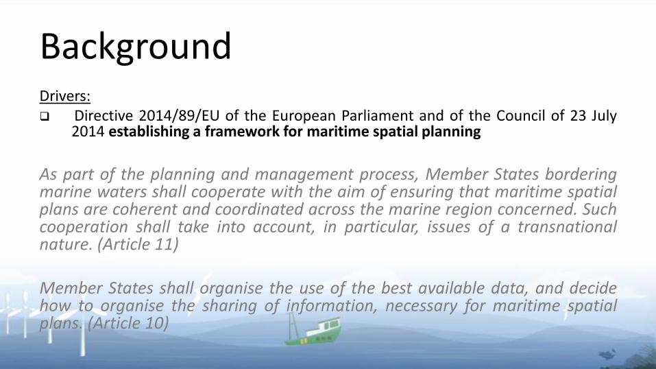
BackgroundDrivers: Directive 2014/89/EU of the European Parliament and of the Council of 23 July
2014 establishing a framework for maritime spatial planning
As part of the planning and management process, Member States borderingmarine waters shall cooperate with the aim of ensuring that maritime spatialplans are coherent and coordinated across the marine region concerned. Suchcooperation shall take into account, in particular, issues of a transnationalnature. (Article 11)
Member States shall organise the use of the best available data, and decidehow to organise the sharing of information, necessary for maritime spatialplans. (Article 10)

BackgroundDrivers: HELCOM-VASAB Guidelines on transboundary consultations,
public participation and co-operation
In order to obtain coherence in the plans, the underlying data should beas uniform as possible. In order to achieve this, a commonunderstanding and documentation should be achieved on whatthematic datasets should be sourced from international sources andwhat data is from national sources. In addition, listing of requiredparameters by thematic datasets needs to be agreed.

Background
To deal with that issues, in 2015, has been established
HELCOM-VASAB Baltic Sea Region MSP Data Expert Sub-group
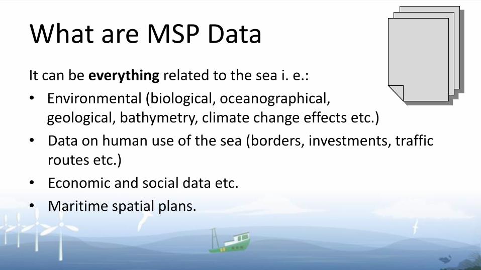
What are MSP Data
It can be everything related to the sea i. e.:
• Environmental (biological, oceanographical, geological, bathymetry, climate change effects etc.)
• Data on human use of the sea (borders, investments, trafficroutes etc.)
• Economic and social data etc.
• Maritime spatial plans.

MSP Data
Data used for planning Maritime spatial plans
INPUT DATA OUTPUT DATA

Harmonization of OUTPUT Data
• Data layers should be structured the same way as thepossible activities, uses and interests are listed inMSP Directive (Article 8);
• Output data could be used also as an INPUT data for other maritime spatial plans
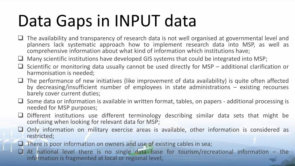
Data Gaps in INPUT data The availability and transparency of research data is not well organised at governmental level and
planners lack systematic approach how to implement research data into MSP, as well ascomprehensive information about what kind of information which institutions have;
Many scientific institutions have developed GIS systems that could be integrated into MSP; Scientific or monitoring data usually cannot be used directly for MSP – additional clarification or
harmonisation is needed; The performance of new initiatives (like improvement of data availability) is quite often affected
by decreasing/insufficient number of employees in state administrations – existing recoursesbarely cover current duties;
Some data or information is available in written format, tables, on papers - additional processing isneeded for MSP purposes;
Different institutions use different terminology describing similar data sets that might beconfusing when looking for relevant data for MSP;
Only information on military exercise areas is available, other information is considered asrestricted;
There is poor information on owners and use of existing cables in sea; At national level there is no single data base for tourism/recreational information – the
information is fragmented at local or regional level;
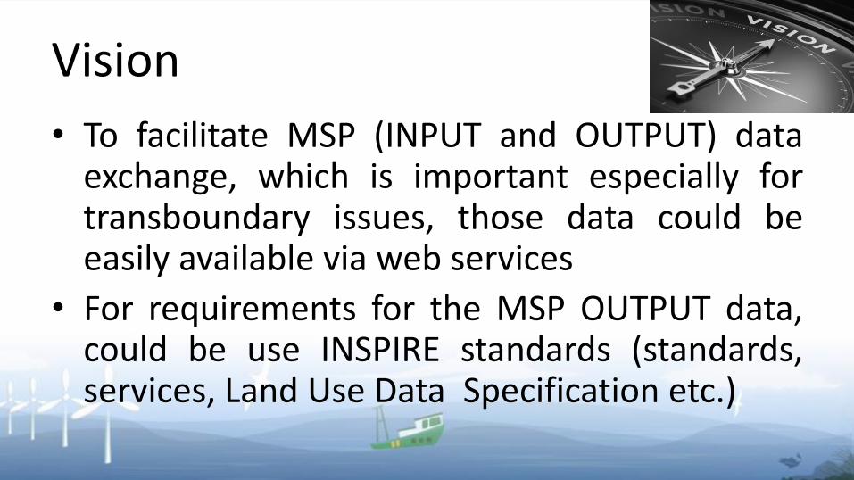
Vision
• To facilitate MSP (INPUT and OUTPUT) dataexchange, which is important especially fortransboundary issues, those data could beeasily available via web services
• For requirements for the MSP OUTPUT data,could be use INSPIRE standards (standards,services, Land Use Data Specification etc.)

Conclusions• Harmonization of INPUT Data in BSR is a huge task• Harmonization of OUTPUT Data is possible and desired for
MSP cooperation• Data availability and common understanding of data will
not ensure the coherence of the maritime spatial plans -countries should have cross-borderconsultations/discussions before drafting planningsolutions
• For development of maritime spatial plans, in terms ofdata, use of both languages – national and English, shouldbe considered.

Task
What, in Your opinion, is missing in terms ofDATA needed to consult MSP?
• groups up to 8 persons
• 10 minutes of work
• one speaker per group
THANK YOU!
Katarzyna Krzywda
Ministry of Maritime Economy and Inland Navigation
Poland


