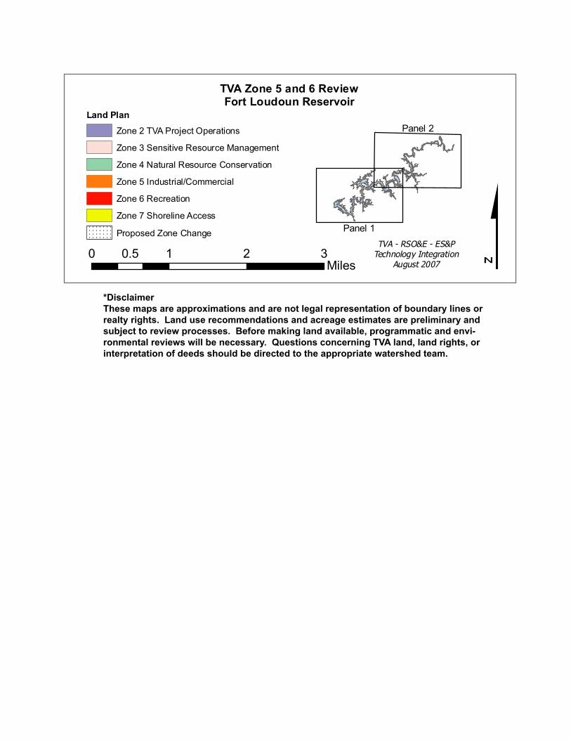
*Disclaimer These maps are approximations and are not legal representation of boundary lines or realty rights. Land use recommendations and acreage estimates are preliminary and subject to review processes. Before making land available, programmatic and envi- ronmental reviews will be necessary. Questions concerning TVA land, land rights, or interpretation of deeds should be directed to the appropriate watershed team. Panel 2 Panel 1 Land Plan Zone 2 TVA Project Operations Zone 3 Sensitive Resource Management Zone 4 Natural Resource Conservation Zone 5 Industrial/Commercial Zone 6 Recreation Zone 7 Shoreline Access Proposed Zone Change TVA - RSO&E - ES&P Technology Integration August 2007 $ 0 1 2 3 0.5 Miles TVA Zone 5 and 6 Review Fort Loudoun Reservoir
Transcript
*DisclaimerThese maps are approximations and are not legal representation of boundary lines or realty rights. Land use recommendations and acreage estimates are preliminary and subject to review processes. Before making land available, programmatic and envi-ronmental reviews will be necessary. Questions concerning TVA land, land rights, or interpretation of deeds should be directed to the appropriate watershed team.
Cherokee Reservoir
Panel 2
Panel 1
Land Plan
Zone 2 TVA Project Operations
Zone 3 Sensitive Resource Management
Zone 4 Natural Resource Conservation
Zone 5 Industrial/Commercial
Zone 6 Recreation
Zone 7 Shoreline Access
Proposed Zone Change
6TVA - RSO&E - ES&P
Technology IntegrationAugust 2007 $0 1 2 30.5
Miles
TVA Zone 5 and 6 ReviewFort Loudoun Reservoir
E
EE
E
E
E
E
E
E
E
E
E
E
E
E
E
E E
E
E
E
E
E
E
E
E
E
EE
E
E
E
EE
E
E
E
E
E E
E
E
E
E
E
E
E
E
E
EE
Blount Co.
Loudon Co.
Knox Co.
Roane Co.
FL-8FK
FL-36AFK
FL-4FK
FL-3FK
FL-41FK
FL-35FK
FL-33FK
FL-2FK
FL-34FK
FL-11FK
FL-9FK
FL-6FK
FL-38FK
FL-32FK
FL-49FKFL-50FK
FL-37FK
FL-48FK
FL-47FK
FL-1FKFL-5FK
FL-51FK
FL-7FK
FL-12FK
FL-55FK
FL-39FK
FL-53FK
3
4
2
5
1
0
26
24
25
28
23
630
597
602
622
632
598
633
620
611
625
615
634
613
594
607
603
605
612
614
610
619
618
626
623
604
629
599
631
606
600
628
608
609
624
621
617
616
627
601
Lenoir City Park
Concord Park
Anchor Park
Yarberry PeninsulaCampground
Carl Cowan Park
Admiral Farragut Park
Poland Creek Campground
Keller Bend Park
Ish Creek PublicAccess Area
Louisville Point Park
Panel 2
Panel 1
Land PlanZone 2 TVA Project Operations
Zone 3 Sensitive Resource Management
Zone 4 Natural Resource Conservation
Zone 5 Industrial/Commercial
Zone 6 Recreation
Zone 7 Shoreline Access
Proposed Zone Change
6TVA - RSO&E - ES&P
Technology IntegrationAugust 2007 $0 1 2 30.5
Miles
TVA Zone 5 and 6 Review Fort Loudoun
These maps are approximations and are not legal representation ofboundary lines or realty rights. Land use recommendations and acreageestimates are preliminary and subject to review processes. Beforemaking land available, programmatic and environmental reviews will benecessary. Questions concerning TVA land, land rights orinterpretation of deeds should be directed to the appropriate WatershedTeam.
EE
EE
EE
E
E
E
E
E E
E
EE
E
E
E
E
E
E
E
E
E
E
E E
E
E
E
E E
E EE
E
E
E
E
E
E
E
Knox Co.
Blount Co.
Blount Co.
Sevier Co.
FL-30FK
FL-18FK
FL-17FK
FL-16FK
FL-15FK
FL-31FK
FL-19FK
FL-26FK
FL-24FK
FL-29FK
FL-11FK
FL-32FK
FL-13FK
FL-23FK
FL-49FKFL-50FK FL-48FK
FL-25FK
FL-54FK
FL-14FK
FL-21FK
FL-51FKFL-55FK
FL-27FK
FL-28FK
FL-12FK
FL-20FK
FL-46FK
0
3
2
1
5
3
2
1
4
0
6
626
630
623
641
651
622
632
643
637
629
647
639
645
631
633
648
636
644
640
628
634
638
652649
624
646
635
642
627
650
Sequoyah Park
Volunteer Landing
Holston River Park
I.C. King Park
Maloney Road Park
Panel 2
Panel 1
Land PlanZone 2 TVA Project Operations
Zone 3 Sensitive Resource Management
Zone 4 Natural Resource Conservation
Zone 5 Industrial/Commercial
Zone 6 Recreation
Zone 7 Shoreline Access
Proposed Zone Change
6
TVA Zone 5 and 6 Review Fort Loudoun
TVA - RSO&E - ES&PTechnology Integration
August 2007 $0 1 2 30.5Miles
These maps are approximations and are not legal representation ofboundary lines or realty rights. Land use recommendations and acreageestimates are preliminary and subject to review processes. Beforemaking land available, programmatic and environmental reviews will benecessary. Questions concerning TVA land, land rights orinterpretation of deeds should be directed to the appropriate WatershedTeam.