34
Defining the Puzzle Pieces of a School District GIS System Will Davis, GISP & Harry Fix, AICP Lake County Schools
| Date post: | 29-Dec-2015 |
| Category: |
Documents |
| Upload: | brian-hawkins |
| View: | 214 times |
| Download: | 0 times |

Defining the Puzzle Pieces of a School District GIS SystemWill Davis, GISP & Harry Fix,
AICPLake County Schools
Will Davis, GISP & Harry Fix, AICPLake County Schools

Not sure
Planning & Student Assignment
Transportation & Student Routing
Planning & Student Transportation
Other Additional Departments
Aa
Bb
Cc
Dd
Ee
Organizational Level’s Use of GIS?

What is your level of GIS knowledge?
Have only heard of it in passing
Seen others use it before (intrigued)
Have a basic knowledge of its capabilities
Have a good working knowledge
I consider myself an expert or power user
Aa
Bb
Cc
Dd
Ee

Has GIS paid for itself in your organization?
We don’t currently use GIS
GIS has been a negative drain on our efforts
The benefits don’t outweigh the cost/effort
GIS is most likely a break even proposition
GIS has been a positive asset for the effort
Aa
Bb
Cc
Dd
Ee

Effective Organizational Use of GIS?
We currently don’t have GIS with no interest to use
Don’t have GIS but currently looking with interest
We use it, but not nearly to its full potential
Consultants do most of our GIS work
We make full use of GIS in many departments
Aa
Bb
Cc
Dd
Ee

• What is it and why do I need it
• Realistic benefits
• What can I do with it
• Goals for implementation
• Management & operational issues
• What essentials do I need to start
• Where do we get started
• How can my District best utilize it
Points of Discussion

What is GIS?
GIS is an abbreviation for “geographic information systems” which is a set of tools that captures, stores, analyzes, manages, and represents data that are linked to locations. In the simplest terms, GIS is the merging of cartography, statistical analysis, and database technologies to develop better solutions and make better decisions.

What is Geographic Approach?
• Frame the question
• Find the data
• Examine the data
• Analyze the data
• Share the results
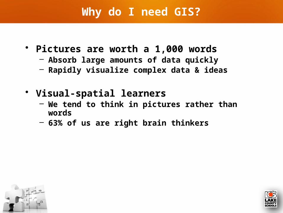
Why do I need GIS?
• Pictures are worth a 1,000 words– Absorb large amounts of data quickly– Rapidly visualize complex data & ideas
• Visual-spatial learners– We tend to think in pictures rather than words– 63% of us are right brain thinkers

Why do I need GIS?
• Geospatial reasoning & spatial awareness– Three-dimensional mental models– Forth-dimension of time– Recall previously observed objects (object location
memory)– Integrate observation-based learning (separating
objects by location or area)– Understanding spatial context (right/wrong space)– Recognition of spatial schemes (patterns & shapes)

• Cost Savings and Increased Efficiencies
• Better Decision Making
• Better Recordkeeping
• Managing Organization Geographically
• Improved Communications
Top Five Benefits to Using GIS?

• Map where things are (visualize patterns)
• Map quantities (quantities by location or criteria)
• Map densities (feature size & distribution)
• Find what is inside (buffers or drive-times)
• Find what is nearby (proximity awareness)
• Map change (anticipate the future or evaluate the past)
What Can You Do with GIS?

PART 1 -- Target Goals of Implementing GIS!
• Improved efficiencies
• Effective management of resources
• Automate workflow processes
• Comply with regulatory mandates
• Improve communication, coordination and collaboration
• Increase productivity
• Improve data accuracy & processing

PART 2 -- Target Goals of Implementing GIS!
• Improve data accuracy & processing
• Save time
• Make better quality & more effective decisions
• Save money
• Share data resources with others
• Improve information processing
• Respond quicker to stakeholder request

PART 1 - Management Issues to be Considered!
• Leadership (who's carrying the torch)
• Plan (Strategic Implementation Plan)
• Cost (manpower & technology)
• Responsibility & Accountability
• Data availability
• Timeframe
• Organizational Cooperation– Internal (IT Department)– External (state, regional & county)

• Communications
• Development vs. maintenance– Internal (District staff)– Consultant(s)
• Build tools to enable end users
• Return on Investment (ROI)
PART 2 - Management Issues to be Considered!

Operational Things to be Considered!
• Availability of existing data
• Accuracy (scale)
• Geographic reference (grid)
• Target Audience– Internal (staff)– External (public, parents & community
stakeholders)
• Development priorities
• Centralized or decentralized
• Onsite infrastructure

What are the parts of a GIS?
• Hardwarecomputers, printers, servers
• Softwareprograms, applications
• Datainformation, tables,
spreadsheets, databases
• Methodshow to ask questions
• Peoplecreaters & end users

Integrating the Parts to see the BIG Picture!
Students, Facilities or Addresses
Transportation Zones
Streets & Bus Routes
School Attendance or Student Analysis Zones
Tax Parcels, Facility or District Ownership
Aerial Photography

What are the Most Important Puzzle Pieces?
• Data, Data, Data– Internal
• Who has it• Can we extract it out• Can we import it back in• Is the quality acceptable
– External• Base-feature elements
• Hardware– Onsite– Cloud
• Software– Proprietary– Open source
• Methods/People

DATA – The Most Important Puzzle Piece!
• Student data– Usability– Exportable/importable– Accuracy– Easily accessible– Able to geocode
• Tax parcel boundaries
• E911 addresses– Point– Polygon
• Road centerlines – Network routable– Address ranges

How Do We Get Start?
• Determine priorities– Strategic Implementation Plan
• Needs assessment• Conceptual design• Survey of available data• Survey of hardware & software• Database planning & design• Database construction• Pilot study & benchmark testing• GIS system integration• GIS application development• GIS use and application
– Database planning• Local• Corporate
– Identify participants• Developers• Analyst• Users

Starting with Transportation
• Transportation Department– Student geocoding
• Address points• Street centerlines (address ranges)
– Create facility & critical points• Schools• Bus stops• Transportation depots• Facility access points
– Bus– Staff– Parent pickup & drop-off– Pedestrian
– Networkable street layer• Purchase license (NAVTEQ)• Obtain or create from local government
– Other important data lookup tables• Vehicle• Driver
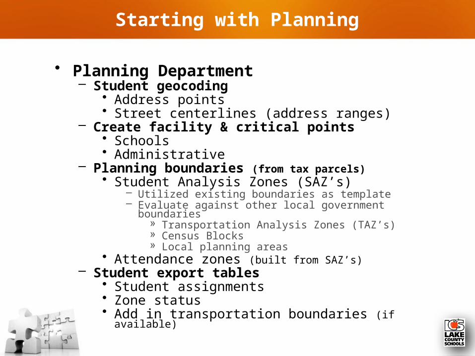
Starting with Planning
• Planning Department– Student geocoding
• Address points• Street centerlines (address ranges)
– Create facility & critical points• Schools• Administrative
– Planning boundaries (from tax parcels)• Student Analysis Zones (SAZ’s)
– Utilized existing boundaries as template– Evaluate against other local government boundaries
» Transportation Analysis Zones (TAZ’s)» Census Blocks» Local planning areas
• Attendance zones (built from SAZ’s)– Student export tables
• Student assignments• Zone status• Add in transportation boundaries (if available)

• Growth Planning
• Transportation
• Facilities Department
• Information Technology Department
• Finance Department
• Safe Schools
How can GIS be utilized in my District?

• Growth Planning
• Transportation
• Facilities Department
• Information Technology Department
• Finance Department
• Safe Schools
How can GIS be utilized in my District?

• Student demographic analysis
• Facility sighting– SREF (State Requirements for Education Facilities)– Redistricting assessments – Transparency of assessment process
• Growth projections– Residential density changes– Areas of growth projection potential– Future transportation issues– Local government collaboration
• Student assignment
• Program assessment
Growth Planning Department

• Student locations & mapping– Primary residence– Secondary pickup and drop off sites– Category assignments (HWR, PRZ & FTE)
• Depot facility sighting
• Transportation logistics (routing)– Student bus stop assignment– Bus stop assessments
• Safety• Location• Distance
– Routing efficiencies & optimization – Sexual Predator / Offender
• Customer service
Transportation Department

• Construction management– Design visualization– Site limitations (physical & environmental)– Track & record construction process
• Physical plant– Florida Inventory School Houses (FISH)– Facility utilization – Maintain site infrastructure– Portability of information
• Maintenance logistics– Facility sighting– Efficient work order assignments
Facilities Department

• Student Information Systems– General automation– Attendance assignment– Student eligibility– Transportation FTE & HWR– Zone waiver accountability
Information Technology Department

• Mileage assessments
• State & local budget comparisons
• Charter school reimbursement
• Financial assessments & comparisons
Finance Department
TAKEAWAY FOR THE DAY

QUESTIONS


