13
Underground Water
| Date post: | 29-Dec-2015 |
| Category: |
Documents |
| Upload: | giles-garrison |
| View: | 240 times |
| Download: | 3 times |

Underground Water
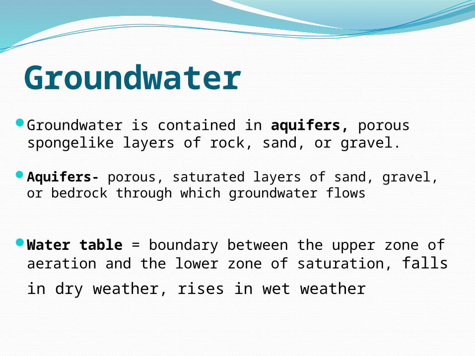
GroundwaterGroundwater is contained in aquifers, porous
spongelike layers of rock, sand, or gravel.
Aquifers- porous, saturated layers of sand, gravel, or bedrock through which groundwater flows
Water table = boundary between the upper zone of aeration and the lower zone of saturation, falls in dry
weather, rises in wet weather
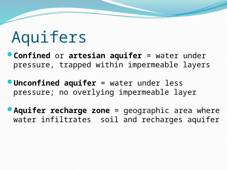
AquifersConfined or artesian aquifer = water under
pressure, trapped within impermeable layers
Unconfined aquifer = water under less pressure; no overlying impermeable layer
Aquifer recharge zone = geographic area where water infiltrates soil and recharges aquifer
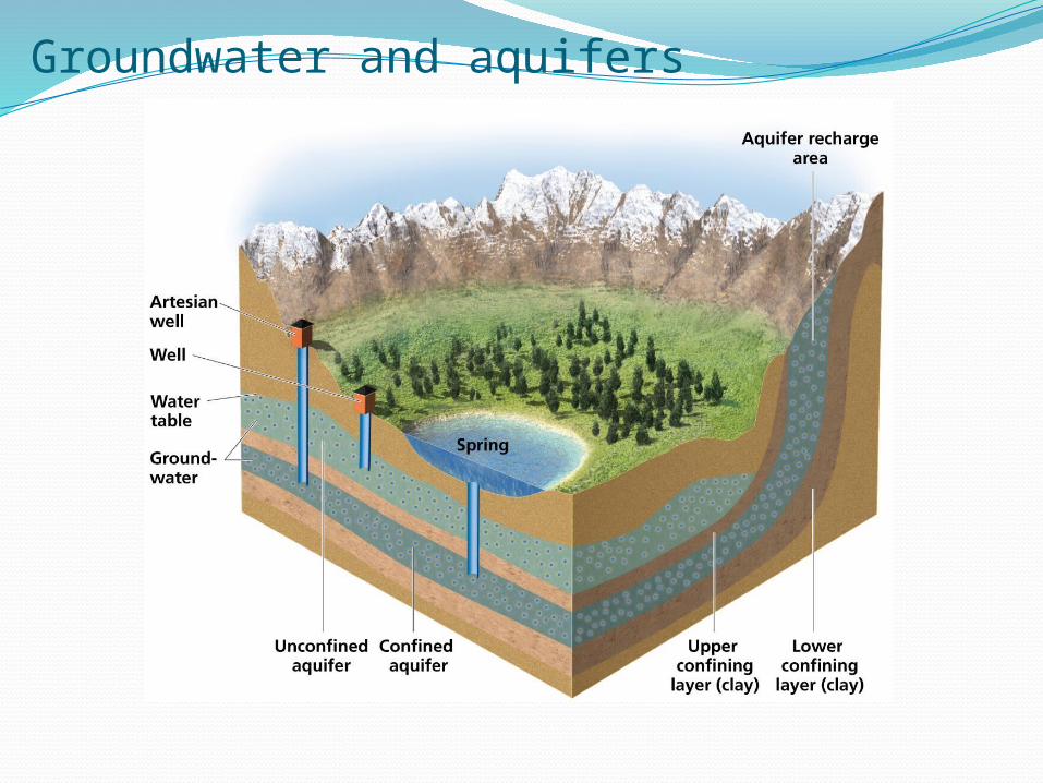
Groundwater and aquifers
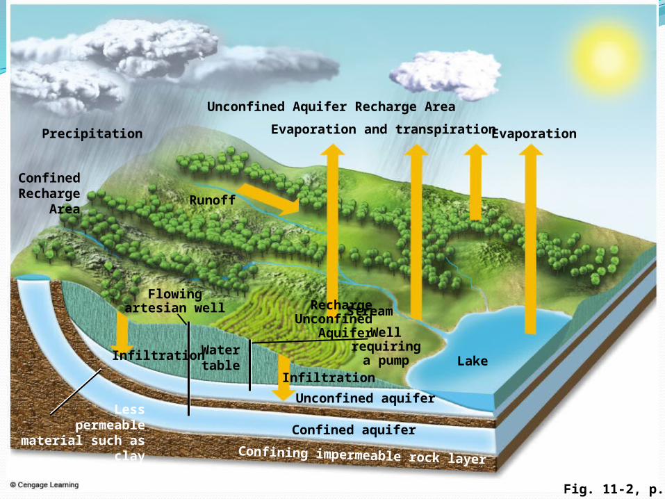
Fig. 11-2, p. 229
Confining impermeable rock layer
Less permeable
material such as clay
Stream
Wellrequiringa pump Lake
Unconfined aquifer
Flowingartesian well
Runoff
ConfinedRecharge
Area
Watertable
Confined aquifer
Infiltration
EvaporationEvaporation and transpiration
Infiltration
Unconfined Aquifer Recharge Area
Recharge Unconfined
Aquifer
Precipitation
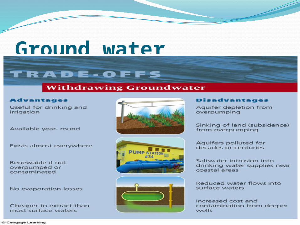
Ground water
• Greater threat to humans than much of more visible surface water pollution
• Much groundwater renewed slowly, such that pollution lingers for long time
• Crude estimates indicate that up to 25% of usable groundwater in the U.S. contaminated
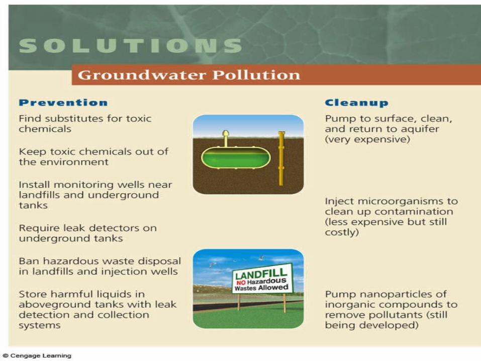
• Extremely difficult to clean up contaminated groundwater; prevention more effective
• Main approach: pump groundwater to surface, purifying water, and returning to aquifer; costs high
Groundwater Pollution
©Brooks/Cole Publishing Company / ITP Water Resources and Water Pollution
by Paul Rich
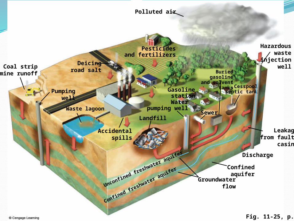
Fig. 11-25, p. 249
Cesspool,septic tank
SewerWaste lagoon
Accidentalspills
Pumpingwell
Coal stripmine runoff
Deicingroad salt
Pesticidesand fertilizers
Polluted air
Hazardous wasteinjection
well
Groundwaterflow
Confinedaquifer
Discharge
Leakagefrom faulty
casing
Unconfined freshwater a
quifer
Confined freshwater a
quifer
Gasoline station
Waterpumping well
Landfill
Buried gasoline
and solvent tanks
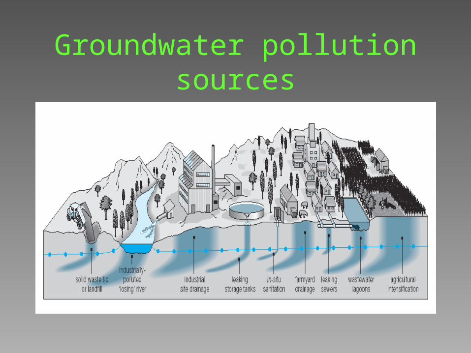
Groundwater pollution sources
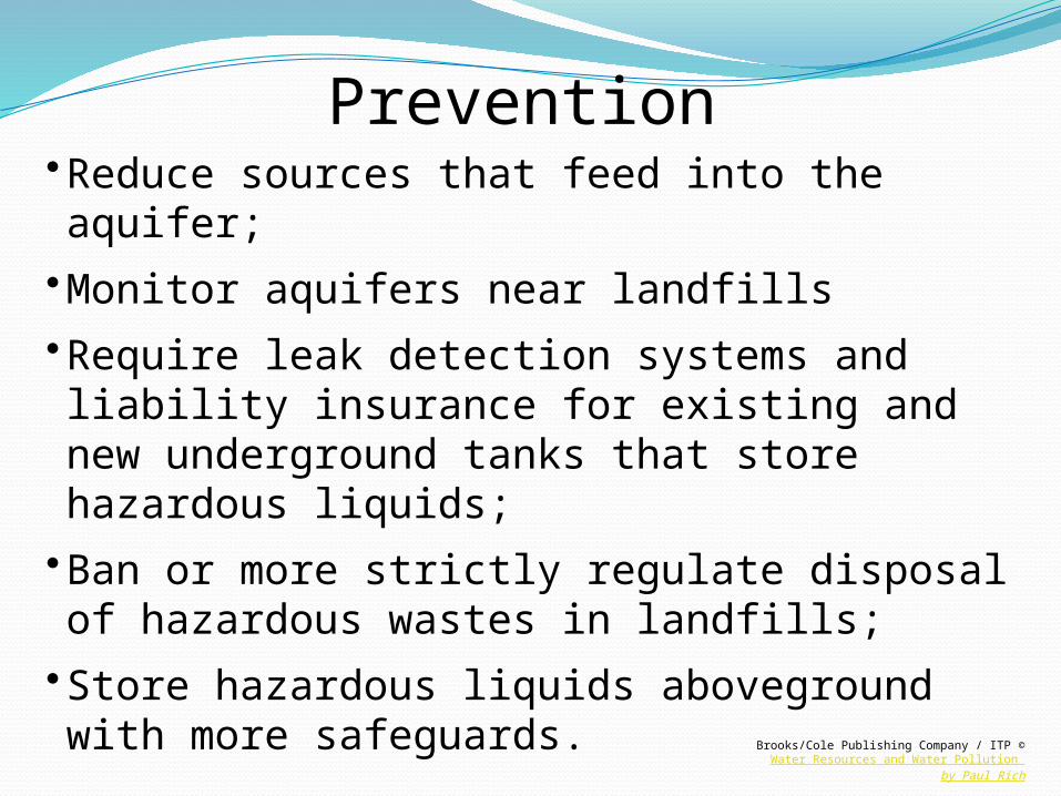
•Reduce sources that feed into the aquifer;•Monitor aquifers near landfills•Require leak detection systems and liability insurance for existing and new underground tanks that store hazardous liquids;
•Ban or more strictly regulate disposal of hazardous wastes in landfills;
•Store hazardous liquids aboveground with more safeguards.
Prevention
©Brooks/Cole Publishing Company / ITP Water Resources and Water Pollution by Paul Rich
Zamzam Well:Zamzam well: is a well located 20 metres east
of the Kaaba.The Zamzam well is about 30 metres deep
and 1.08 to 2.66 metres in diameterThe Saudi Geological Survey has a "Zamzam
Studies and Research Centre" which analyses the technical properties of the well in detail
The water level is 3.23 metres (about 10.59 ft) below the surface. A pumping test at 8000 litres/second for more than a 24 hour period showed a drop in water level from 3.23 metres below surface to 12.72 metres and then to 13.39 metres, after which the water level stopped receding. When pumping stopped, the water level recovered to 3.9 metres below surface only 11 minutes later. This data shows that the aquifer feeding the well seems to recharge from rock fractures in neighbouring mountains around Mecca


