19
Maritime Spatial Planning in the Baltic Sea Region Past, present, perspective Talis Linkaits VASAB Secretariat XIX International Environmental Forum 22 March 2018, Saint Petersburg

Maritime Spatial Planning
in the Baltic Sea Region
Past, present, perspective
Talis Linkaits
VASAB Secretariat
XIX International Environmental Forum
22 March 2018, Saint Petersburg

A cooperation of ministers of the
11 Baltic Sea Region countries
responsible for spatial planning and
development
Intergovernmental network
founded in 1992
to promote cooperation on spatial
planning and development
in the Baltic Sea Region
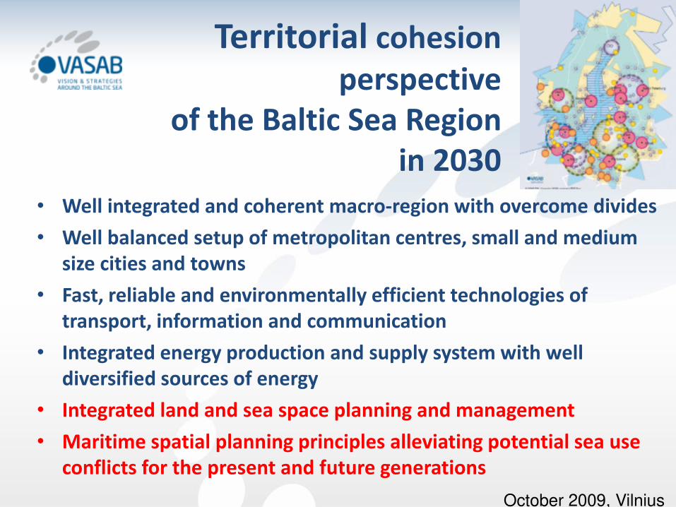
• Well integrated and coherent macro-region with overcome divides
• Well balanced setup of metropolitan centres, small and medium
size cities and towns
• Fast, reliable and environmentally efficient technologies of
transport, information and communication
• Integrated energy production and supply system with well
diversified sources of energy
• Integrated land and sea space planning and management
• Maritime spatial planning principles alleviating potential sea use
conflicts for the present and future generations
Territorial cohesion
perspective
of the Baltic Sea Region
in 2030
October 2009, Vilnius

Joint Efforts in MSP
• Joint HELCOM-VASAB MSP WG
established in October 2010
• All countries around the Baltic
Sea are represented
• Well established rules and
procedures on how to work
• Legitimized process of
coordination
• Guided by Ministerial level
decisions
– 2013 HELCOM Ministerial Meeting
– 2014 VASAB Ministerial Conference
© WWF Germany

Baltic Sea MSP Principles
1. Sustainable Management
2. Ecosystem Approach
3. Long Term Perspective and Objectives
4. Precautionary Principle
5. Participation and Transparency
6. High Quality Data and Information Basis
7. Transnational Coordination and Consultation
8. Coherent Terrestrial and Maritime Spatial Planning
9. Planning Adaptive to Characteristic and Spatial Conditions at different
Areas
10. Continuous Planning
adopted in 2010

Draw up and apply maritime spatial plans throughout the Baltic
Sea Region by 2020 which are coherent across borders and
apply the ecosystem approach
Necessary steps
• Ecosystem approach in MSP
• Trans-boundary consultations and cooperation in MSP
• Public participation
• Information and data for MSP
• Education for MSP
MSP Roadmap 2013-2020

Implementation:
• Guideline for the implementation of ecosystem-based
approach in MSP in the Baltic Sea area
1 October 2015
• Guidelines on transboundary consultations, public
participation and co-operation
25 February 2016
MSP Roadmap 2013-2020
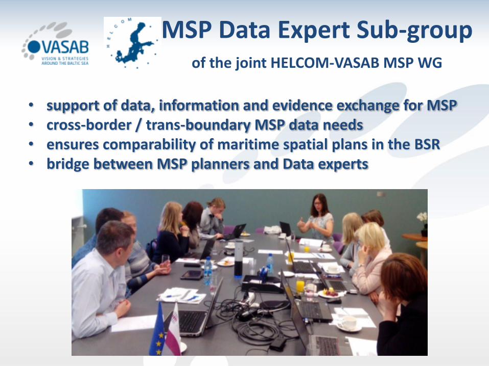
MSP Data Expert Sub-group of the joint HELCOM-VASAB MSP WG
• support of data, information and evidence exchange for MSP
• cross-border / trans-boundary MSP data needs
• ensures comparability of maritime spatial plans in the BSR
• bridge between MSP planners and Data experts

MSP Data Expert Sub-group
First Report 2017
• List of National MSP Data
Focal Points
• General structure of MSP data
• Transboundary/cross-border
planning issues
• Currently available data sets in
the BSR countries and
HELCOM
• Data and information gaps and
challenges

Baltic MSP Data structure
OUTPUT DATA
Outcome of maritime
spatial plan (plan solutions, spatial designations)
INPUT DATA
Data used for planning +
other plans
Themes:
1. aquaculture areas,
2. fishing areas,
3. installations and infrastructure
4. maritime transport routes and traffic
flows,
5. military training areas,
6. nature and species conservation sites
and protected areas,
7. raw material extraction areas,
8. scientific research,
9. submarine cable and pipeline routes,
10. tourism
11. underwater cultural heritage
+ administrative borders
+ planning zones

• Minimum requirements on OUTPUT Data
• Cartographic visualisation
• Technical tools
Towards BSR MSP web map
MSP Data Expert Sub-group
Next steps

© Ingela Isaksson
MSP in Baltics


FLAGSHIPS:
Baltic SCOPE – Towards Coherence and Cross-border
Solutions in Baltic Sea Maritime Spatial Plans, ended 2017
Baltic LINes – Coherent Linear Infrastructures in Baltic
Maritime Spatial Plans
Pan Baltic Scope – Started 2018, to achieve coherent national
maritime spatial planning
OTHER RELEVANT PROJECTS:
BONUS BALTSPACE – Towards Sustainable Governance of
Baltic Marine Space
BONUS BaltCoast – A Systems Approach Framework for
Coastal Research and Management in the Baltic
Plan4Blue – Maritime Spatial Planning for Sustainable Blue
Economies

GOF2014 and MSP


23-24 NOVEMBER 2016 RIGA, LATVIA

Thank you for your attention! www.vasab.org
E-mail: [email protected] Twitter: vasab_org Facebook: VASAB


