Sept. 25, 2015 Ms. Erin Crouthers REC Consultants, Inc. 2442 Second Ave. San Diego CA 92101 RE: Class III Cultural Resources Survey for the Terrace Hill Drive Project, Unincorporated Lakeside, San Diego County, California. Project Number PDS2015-TM-5599. Dear Ms. Crouthers, This report presents the results of a Class III inventory survey conducted by ASM Affiliates, Inc. (ASM) of the proposed Terrace Hill Drive Project (Project) (Figures 1 and 2). The purpose of the survey was to determine the presence or absence of cultural resources within the Project’s area of potential effect (APE) that might be eligible for the California Register for Historic Resources (CRHR). This study was completed to provide technical information for compliance with the California Environmental Quality Act (CEQA). In summary, no cultural resources were identified within the APE either through the archaeological pedestrian survey or through the record search. Due to the absence of observed cultural materials, together with the low potential for buried deposits at this location, no further treatments are recommended, including monitoring within the APE. PROJECT DESCRIPTION AND LOCATION The Terrace Hill Drive Project is proposing a tentative map to subdivide APN 400-330- 30 into ten (10) single-family residential lots on a 2.85-acre parcel located on Terrace Hill Drive (Figures 1-2). The Project is located in the unincorporated community of Lakeside, San Diego County, California. The Project is shown on the USGS 7.5’ El Cajon Quadrangle Map within the unsectioned El Cajon Land Grant. The project area is currently undeveloped and surrounded by high-density residential development (Figure 3). The proposed project will include a minimum lot size of 11,365 square feet, and a maximum lot size of 19,416 square feet. Two bioretention basins are proposed onsite, located in the northwest and southeast corners. Three masonry retaining
Transcript
Sept. 25, 2015
Ms. Erin Crouthers
REC Consultants, Inc.
2442 Second Ave.
San Diego CA 92101
RE: Class III Cultural Resources Survey for the Terrace Hill Drive Project,
Unincorporated Lakeside, San Diego County, California. Project Number
PDS2015-TM-5599.
Dear Ms. Crouthers,
This report presents the results of a Class III inventory survey conducted by ASM
Affiliates, Inc. (ASM) of the proposed Terrace Hill Drive Project (Project) (Figures 1
and 2). The purpose of the survey was to determine the presence or absence of cultural
resources within the Project’s area of potential effect (APE) that might be eligible for the
California Register for Historic Resources (CRHR). This study was completed to provide
technical information for compliance with the California Environmental Quality Act
(CEQA).
In summary, no cultural resources were identified within the APE either through the
archaeological pedestrian survey or through the record search. Due to the absence of
observed cultural materials, together with the low potential for buried deposits at this
location, no further treatments are recommended, including monitoring within the APE.
PROJECT DESCRIPTION AND LOCATION
The Terrace Hill Drive Project is proposing a tentative map to subdivide APN 400-330-
30 into ten (10) single-family residential lots on a 2.85-acre parcel located on Terrace
Hill Drive (Figures 1-2). The Project is located in the unincorporated community of
Lakeside, San Diego County, California. The Project is shown on the USGS 7.5’ El
Cajon Quadrangle Map within the unsectioned El Cajon Land Grant.
The project area is currently undeveloped and surrounded by high-density residential
development (Figure 3). The proposed project will include a minimum lot size of 11,365
square feet, and a maximum lot size of 19,416 square feet. Two bioretention basins are
proposed onsite, located in the northwest and southeast corners. Three masonry retaining
Ms. Erin Crouthers
Sept. 25, 2015
Page 2 of 19
walls are proposed to be constructed onsite, with a maximum height of 5’4”. No
structures are proposed onsite at this time. The APE for the Terrace Hill Drive Project is
approximately 507 feet (155 meters) N/S by approximately 243 feet (74 meters) E/W.
Cultural Background
The prehistoric and historic cultural setting for the project’s region is briefly outlined
below. For its wider context, see more detailed discussions of prehistoric archaeology
(Jones and Klar 2007; Moratto 1984), ethnography (Heizer 1978; Kroeber 1925), and
history (Pourade 1960-1977; Pryde 2004). For more narrowly focused discussions of the
local issues and evidence, see, for example, the historic properties background study for
metropolitan San Diego (Carrico 2008; McDonald and Eighmey 2008; Schaefer and Van
Wormer 2008; Warren et al. 2008).
Prehistoric Archaeology
The prehistory of San Diego County has most frequently been divided chronologically
into three or four major periods. An Early Man stage, perhaps dating back tens of
thousands of years, has been proposed, but no widely accepted evidence of human
occupation of North America dating prior to about 12,000 B.C. has emerged. More
generally accepted divisions include a Terminal Pleistocene/Early Holocene period (ca.
12,000-6000 B.C.), a Middle/Late Holocene period (ca. 6000 B.C.-A.D. 800), and a
Late Prehistoric period (ca. A.D. 800-1769).
For the Terminal Pleistocene/Early Holocene period (ca. 12,000-6000 B.C.), the earliest
chronologically distinctive archaeological evidence is the Clovis pattern. Dated elsewhere
in North America to around 11,500 B.C., Clovis assemblages are distinguished primarily
by large fluted projectile points. At least three isolated fluted points have been reported
within San Diego County. The most widely recognized archaeological pattern within this
period is termed San Dieguito and has been dated from at least as early as 8500 B.C. to
perhaps around 6000 B.C. Proposed characteristics to distinguish San Dieguito flaked
lithic assemblages include large projectile points, bifaces, crescents, scraper planes,
scrapers, hammers, and choppers. A key issue has concerned ground stone, which was
originally suggested as having been absent from San Dieguito components but has
subsequently been recognized as occurring infrequently within them. It was initially
suggested that San Dieguito components, like other Paleo-Indian manifestations,
represented the products of highly mobile groups that were organized as small bands and
focused on the hunting of large game. However, in the absence of supporting faunal
evidence, this interpretation has increasingly been called into question, and it has been
suggested that the San Dieguito pattern represented a more generalized, Archaic-stage
lifeway, rather than a true Paleo-Indian adaptation. A vigorous debate has continued for
several decades concerning the relationship between the San Dieguito pattern and the La
Jolla pattern that succeeded it and that may have also been contemporaneous with or even
antecedent to it. The issue has been whether the two patterns represent the products of
Ms. Erin Crouthers
Sept. 25, 2015
Page 3 of 19
distinct ethnic groups and/or cultural traditions, or different functional poses of the same
people.
Archaeological evidence from the Middle/Late Holocene Period (ca. 6000 B.C.-A.D.
800) period in the San Diego region, coming primarily from the coastal region, has been
characterized as belonging to the Archaic stage, Millingstone horizon, Encinitas
tradition, or La Jolla pattern. Distinctive characteristics of the La Jolla pattern include
extensive shell middens, portable ground stone metates and manos, crudely flaked cobble
tools, occasional large expanding-stemmed projectile points (Pinto and Elko forms), and
flexed human burials. Investigators have called attention to the apparent stability and
conservatism of the La Jolla pattern throughout this long period.
A Late Prehistoric period (ca. A.D. 800-1769) in coastal San Diego County has been
distinguished, primarily on the basis of three major innovations: the use of small
projectile points, brownware pottery, and the practice of human cremation. Labels
applied to the archaeological manifestations of this period include Yuman, Cuyamaca,
Patayan, and Hakataya. Traits characterizing the Late Prehistoric period include a shift
toward greater use of inland rather than coastal settlement locations, greater reliance on
acorns as an abundant but labor-expensive food resource, a greater emphasis on hunting
of both large and small game, a greater amount of interregional exchange, more
elaboration of nonutilitarian culture, and possibly denser regional populations.
Ethnographic Evidence
In ethnohistoric times, central and southern San Diego County was occupied by speakers
of a Yuman language or languages, variously referred to as Kumeyaay, Diegueño, Tipai,
and Ipai. Kumeyaay territory extended from south of Agua Hedionda Lagoon,
Escondido, and Lake Henshaw to south of Ensenada in northern Baja California, and east
nearly as far as the lower Colorado River. A few important ethnohistoric accounts of the
Kumeyaay are available from Hispanic-period explorers and travelers, Spanish
administrators, and Franciscan missionaries. Many accounts by ethnographers, primarily
recorded during the early twentieth century, are available.
The Kumeyaay inhabited a diverse environment that included littoral, valley, foothill,
mountain, and desert resource zones. Because of the early incorporation of coastal
Kumeyaay into the mission system, most of the available ethnographic information
relates to inland groups that lived in the Peninsular Range or the Colorado Desert. There
may have been considerable variability among the Kumeyaay in settlement and
subsistence strategies and in social organization. Acorns were a key resource, but a wide
range of other mineral, plant, and animal resources were exploited. Some degree of
residential mobility seems to have been practiced, although its extent and nature may
have varied considerably among different communities and settings. The fundamental
Kumeyaay social unit above the family was the šimuɬ (patrilineage) and the residential
community or band. Leaders performed ceremonial, advisory, and diplomatic functions,
Ms. Erin Crouthers
Sept. 25, 2015
Page 4 of 19
rather than judicial, redistributive, or military ones. There seems to have been no
national level of political unity and perhaps little sense of commonality within the
language group.
Kumeyaay material culture was effective, but it was not highly elaborated. Structures
included houses with excavated floors, ramadas, sweathouses, ceremonial enclosures,
and acorn granaries. Hunting equipment included bows and arrows, curved throwing
sticks, nets, and snares. Processing and storage equipment included a variety of flaked
stone tools, milling implements, ceramic vessels, and baskets. Nonutilitarian culture was
not neglected. A range of community ceremonies were performed, with particular
emphases placed on making individuals’ coming of age and on death and mourning.
History
European exploration of the San Diego area was initiated with the maritime expeditions
of Juan Rodriguez Cabrillo in 1542 and Sebastián Vizcaíno in 1602. However, the
historic period proper did not begin until 1769, when expeditions under the leadership of
Gaspar de Portolá and Junípero Serra reached the region from Baja California and passed
northward along the coastal plain to seek Monterey. In that year, a royal presidio and the
Misión San Diego de Alcalá were founded, and the incorporation of local Kumeyaay into
the mission system was begun. An asistencia or satellite mission was established at Santa
Ysabel in 1818.
In 1821, Mexico consummated its independence from Spain, and the region became
more open to outside visitors and influences. The missions were secularized in 1833.
Native Americans released from the San Diego mission returned to their native villages,
moved east to areas lying beyond Mexican control, or sought work on ranchos or in the
town of San Diego. Numerous large land grants were issued to private owners during the
Mexican period.
The conquest and annexation of California by the United States in the Mexican-American
War between 1846 and 1848 ushered in many more changes. Many Californio families
lost their lands to outsiders, and cultural patterns that were brought by immigrants from
the eastern U.S. gradually supplanted old Californio customs. The region experienced
cycles of economic and demographic booms and busts. Aspects of development included
the creation of transportation networks based on port facilities, railroads, highways, and
airports; more elaborate systems of water supply and flood control; grazing livestock and
growing a changing array of crops; supporting military facilities; limited amounts of
manufacturing; and accommodating visitors and retirees. After false starts, San Diego
converted itself to a substantial city, and then into a metropolis. Other cities were
incorporated in the inland region, including El Cajon, La Mesa, Lemon Grove, Santee,
and Poway, and notable unincorporated communities include Spring Valley, Lakeside,
Alpine, and Ramona.
Ms. Erin Crouthers
Sept. 25, 2015
Page 5 of 19
METHODS
A records search request of the archives at the South Coastal Information Center (SCIC),
San Diego State University of the California Historical Resources Information System
(CHRIS), was submitted by ASM on March 12, 2015. The record search encompassed
the project area and a search radius of ½ mile around it. Additionally the California
Register of Historic Resources (CRHR) and the National Register of Historic Places
(NRHP) were also examined to identify any additional resources within ½ mile.
The Terrace Hill Drive Project APE was surveyed by ASM Associate Archaeologist
Larry Tift on March 13, 2015. He was accompanied by Robert Bolger of the La Posta
Band of Kumeyaay Indians. The survey was performed using no greater than 15 meter
transects across the entire project area. All cultural materials were mapped with a
Trimble hand-held GPS unit, capable of sub-meter accuracy. The general project area
and any potential features, artifacts, and project-specific area conditions were
photographed with a Canon digital camera. Due to vegetation, surface visibility was
approximately 50 percent.
RECORDS SEARCH RESULTS
The results of the records search are summarized below (Tables 1-4). CHRIS records
identified 34 previous reports that addressed areas within a ½ mile radius of the project
area. None of these overlap the current project area (Table 2). CHRIS records also
indicated the presence of 2 previously recorded cultural resources within a ½ mile radius
of the project area (Table 3). Additionally, a total of 21 historical addresses were
identified within a ½ mile radius of the project area (Table 4). None of these resources
occur within the current project area.
Table 1. Summary of Record Search Results
SCIC Record Type Mapped within 1/2
mi. of APE Intersects with
APE
Previous Reports 34 0
Historical Addresses 21 0
Cultural Resources 2 0
Ms. Erin Crouthers
Sept. 25, 2015
Page 6 of 19
Table 2. Summary of Previous Reports within ½ mi. of the APE
IC File No.
NADB No.
Authors Year Title Affiliation Proximity
to APE
SD-00527
1120527 Cupples, Sue
Ann 1974
An Archaeological Survey of Los Coches Estates.
Dr. Paul H. Ezel Outside
SD-00924
1120924
Flower, Douglas M.,
Darcy Ike, and Linda Roth
1978
Archaeological Survey and Initial Subsurface Test of
the Howland Lot Split Crest, California
Flower, Ike, & Roth
Archaeological Consultants
Outside
SD-00991
1120991 Gross, Tim 1974
A Report of Cultural Impact Survey Phase II
Project: P.M. 1.9-16.3 11-SD-54 Rte. 805 to Rte. 8
San Diego State University
Outside
SD-01223
1121223 Easland, Phyllis 1975
A Report of Cultural Impact Survey Phase I
Project : 11-SD-54-7.0/11/3-11-SD-94-
13.5/15.5 in San Diego County.
San Diego State University
Outside
SD-01749
1121749 McCorkle
Apple, Rebecca 1981
Archaeological Survey Report for a Proposed
Materials Source Project at Tunnel Hill 11-SD-8/67
P.M. 19.5/19.6 11203-161111
Caltrans Outside
SD-02138
1122138
National Pacific
Development Corporation
1981
Focused Environmental Impact Report Hidden
Mobil Home Park P80-120, Log#81-14-3
National Pacific Development Corporation
Outside
SD-02152
1122152 A.D. Hinshaw
Associates 1987
Crestridge Specific Plan EIR EAD Log#87-Gp-1
Supplemental Information
A.D. Hinshaw Associates
Outside
SD-02739
1122739 Butler Roach
Group Inc 1991
Draft EIR for the Proposed Deletion of the Greenfield Drive Extension from the
Circulation Element of the San Diego General Plan
Log # 91-Gp-3
BRG Outside
Ms. Erin Crouthers
Sept. 25, 2015
Page 7 of 19
IC File No.
NADB No.
Authors Year Title Affiliation Proximity
to APE
SD-02989
1122989 Kyle, Carolyn 1996
Letter Report - Capping of Prehistoric Site CA-SDI-
9775 for The East County Square Project
Gallegos & Associates
Outside
SD-02993
1122993 Kyle, Carolyn and Dennis
Gallegos 1995
Historical/Archaeological Test Report For Sites Ca-SDI-9774, CA-SDI-9775,
CA-SDI-13187, and CA-SDI-13188 and Survey for the Off-Site Water Reservoir,
East County Square Development, San Diego
County, California
Gallegos & Associates
Outside
SD-03032
1123032 Smith, Brian
and Larry Pierson
1996
Historic Documentation of The Greenfield Drive
Project, El Cajon, California
Brian F. Smith and Associates
Outside
SD-03148
1123148 Lettieri And Associates
1994
Technical Appendices To Draft Environmental
Impact Report For The Proposed East County Squard Specific Plan,
General Plan Amendment And Major Use Permit
Lettieri, Mcintyre, And Assoc.
Outside
SD-04474
1124474 Kyle, Carolyn and Edward
Baker 1993
Negative Archaeological Survey Report - Los
Coches Road
Department of Transportation
Outside
SD-04688
1124668 Smith, Brian F. 1989 The Results Of An
Archaeological Survey Of The Bermuda Hills Project
Smith, Brian Outside
SD-07437
1127437 Kyle, Carolyn and Edward
Baker 1995
Los Coches Road Off-Ramp APEe
Gallegos & Assoc. Outside
Ms. Erin Crouthers
Sept. 25, 2015
Page 8 of 19
IC File No.
NADB No.
Authors Year Title Affiliation Proximity
to APE
SD-07494
1127494 Duke, Curt 2002
Cultural Resource Assessment AT&T
Wireless Services Facility No. Sd225d San Diego
County, CA
LSA Associates, Inc.
Outside
SD-08565
1128565
Flower, Douglas, Darcy Lake, and Linda
Roth
1978
Subsurface Test and Open Space Easement
Delineation of W-417 Appendix to
Archaeological Survey and Initial Subsurface Test of
The Howland Lot Split Crest, California
FIR Outside
SD-08992
1128992 Mc Ginnis,
Patrick 2004
Cultural Resources Inventory for the
Proposed East Main Street Home Depot Project, San Diego County, California
Tierra Environmental
Services Outside
SD-09158
1139158 Mcginnis,
Patrick and Michael Baksh
2004
Cultural Resources Inventory for the
Proposed East Main Street Home Depot Project San Diego County, California
Tierra Environmental
Services Outside
SD-09762
1129762 Zepeda-Herman, Carmen
2005
Final Cultural Resource Report of Test Excavations at 1998 La Cresta Road El
Cajon, California
Recon Outside
SD-09989
1129989
Pigniolo, Andrew R. and
Kimberly D. Lauko
2006
Cultural Resource Survey of The Burstyn Subdivision Project, Crest, San Diego
County, California
Laguna Mountain Environmental
Outside
SD-10274
1130274 Bonner,
Wayne H. and Alynne Loupe
2005
Cultural Resource Records Search Results and Site
Visit for Cingular Telecommunications
Facility Candidate SD-763-01 (Peck's Heavy Friction
and Clutch Supplies), 1301 "A" Pepper Drive, El Cajon,
San Diego County, California
Michael Brandman Associates
Outside
Ms. Erin Crouthers
Sept. 25, 2015
Page 9 of 19
IC File No.
NADB No.
Authors Year Title Affiliation Proximity
to APE
SD-10341
1130341
Pigniolo, Andrew and Kimberly D.
Lauko
2006
Cultural Resource Survey of the Bursztyn
Subdivision Project, San Diego County, California
Laguna Mountain Environment, Inc.
Outside
SD-10551
1130551 Arrington,
Cindy 2006
Cultural Resources Final Report of Monitoring And
Findings for the Qwest Network Construction
Project, State of California
SWCA Environmental
Consultants Outside
SD-11677
1131677 Shalom, Diane 2008
Cultural Resources Survey Report for: Bush Tpm
21125, Log No. 08-14-009 - Negative Findings
County of San Diego -
Department of Planning and Land
Use
Outside
SD-11831
1131831 Kwiatkowski,
Heather 2008
Negative Cultural Resources Survey Report
for Pennings Two Lot Minor Subdivision, Tpm
21139
San Diego County Department of
Planning and Land Use
Outside g
SD-11872
1131872
Bonner, Wayne H. and Marnie Aislin-
Kay
2008
Cultural Resources Records Search And Site Visit Results for Verizon
Wireless Telecommunications
Candidate North Second, 8043-8055 Winter
Gardens Boulevard, El Cajon, San Diego County,
California
Michael Brandman Associates
Outside
SD-12241
1132241 Kwiatkowski,
Heather 2009
Negative Cultural Resources Survey Report
for Harper Tpm 21164
County of San Diego Department
of Planning And Land Use
Outside
SD-12310
1132310 Robbins-Wade,
Mary 2006
Archaeological Resources Survey, Los Coches
Property, Lakeside, San Diego County, California
Affinis Outside
Ms. Erin Crouthers
Sept. 25, 2015
Page 10 of 19
IC File No.
NADB No.
Authors Year Title Affiliation Proximity
to APE
SD-12421
1132421
Cook, John R., Deborah
Huntley, and Sherri Andrews
2000
Final: A Cultural Resources Inventory of the Proposed At&T / Pf. Net Fiber Optics
Conduit Ocotillo To San Diego, California
ASM Affiliates, Inc.
Outside
SD-12698
1132698 Willoughby,
Kerry 2010
AT&T Site Sd0596 Sterling House 8169 Sterling Drive
El Cajon, San Diego County, California 92021
ACE Environmental
Outside
SD-14415
1134415 Loftus,
Shannon 2012
Cultural Resource Records Search and Site Survey
AT&T Site Sd0596 Sterling House 8169 Sterling Drive
El Cajon, San Diego County, California 92021
ACE Environmental,
Inc. Outside
SD-14511
1134511
HAAS, HANNAH And
ROBERT RAMIREZ
2013
Phase I Cultural Resources Survey for The Kaiser Permanente El Cajon
Medical Center Project, El Cajon, San Diego County,
California
Rincon Consultants, Inc.
Outside
Table 3. Summary of Cultural Resources within ½ mi. of APE
P-37- CA-SDI- Record and Updates Description Proximity to APE
025441 16886 2004 (Tierra Environmental
Services) Historic Chicken Ranch Outside
026423 17357 2005 (Laguna Mountain
Environmental Inc.) Prehistoric Bedrock Milling,
Pottery Scatter Outside
Summary of Sites Occurring within ½ Mile
Site CA-SDI-16886, identified by Tierra Environmental Services in 2004 consists of a
residential structure and several additional structures associated with a chicken farm,
dating to the 1940s and 1950s. The residence is a single-story ranch-style house, which
appears to have been constructed between 1955 and 1965. Additional structures include a
cinderblock and poured cement building which appears to have served for storage and
loading, a chicken coop constructed of wood and wire with a cinderblock foundation, and
Ms. Erin Crouthers
Sept. 25, 2015
Page 11 of 19
a third structure of unknown function. The site is located approximately 700 meters east
of the current project area.
Site CA-SDI-17357, identified in 2005 by Laguna Mountain Environmental Inc., consists
of a prehistoric bedrock milling station. The site includes three separate milling features,
each exhibiting a single milling slick. A single Tizon Brown Ware ceramic sherd was
also identified on the site surface. The site measures approximately 10 by 10 meters, and
lies approximately 1.5 kilometers southeast of the current project area.
Historic Addresses
A total of 21 historic addresses occur within the ½ mile record search radius but lie
outside the APE. These resources are summarized below (Table. 4).
Table 4. Summary of Historic Addresses within ½ mi. of APE
Address P-37- Historical Name Common Name Proximity to
APE
905 4TH St. P-37-
017498 George Shepard House Charles Ahlee House Outside
912 4TH St. P-37-
017499 John Swoboda House Oliver Fritz House Outside
927 4TH St. P-37-
017500 George Shepard House Bonnie Rickly House Outside
1049 Tres Lomas Dr.
P-37-017703
Schrade Place Taylor's Cactus Farm Outside
1138 Bost.Onia St.
P-37-017466
Niles Reece House Irene Reece House Outside
1188 Bost.Onia St.
P-37-017467
David Graves House David Jerse House Outside
1190 Gorsline Dr.
P-37-017505
Judson Orchard House Pierce House Outside
1360 Greenfield Dr.
P-37-017563
C.J. Pierson Home Cruson House Outside
1376 Greenfield Dr.
P-37-017564
Rogers Place Crampton House Outside
Ms. Erin Crouthers
Sept. 25, 2015
Page 12 of 19
Address P-37- Historical Name Common Name Proximity to
APE
1451 Marline Ave.
P-37-017620
Milton Home
Outside
1510 Greenfield Dr.
P-37-017565
Gordon Ranch St. Kieran's Outside
1526 Luke Ln P-37-
017586 Luke Lane House Barker House Outside
1536 Luke Ln P-37-
017587 Katherine Bates Estate Becker House Outside
1603 Zephyr Ave.
P-37-017729
Robinson House Olive Hills Mansion Outside
1673 Lomacita Terrace
P-37-017584
Lomacita Terrace Home Pennock House Outside
1737 E Naranca Ave.
P-37-017625
Collard House Collard House Outside
7964 Winter Gardens Blvd.
P-37-017728
Roether Residence Roether Residence Outside
8310 Sunset Rd.
Pending - - Outside
1332 Pepper Dr.
Pending - - Outside
1322/1324 Pepper Dr.
Pending - - Outside
1326 Pepper Dr.
Pending - - Outside
ARCHAEOLOGICAL SURVEY RESULTS
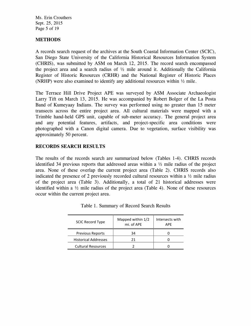
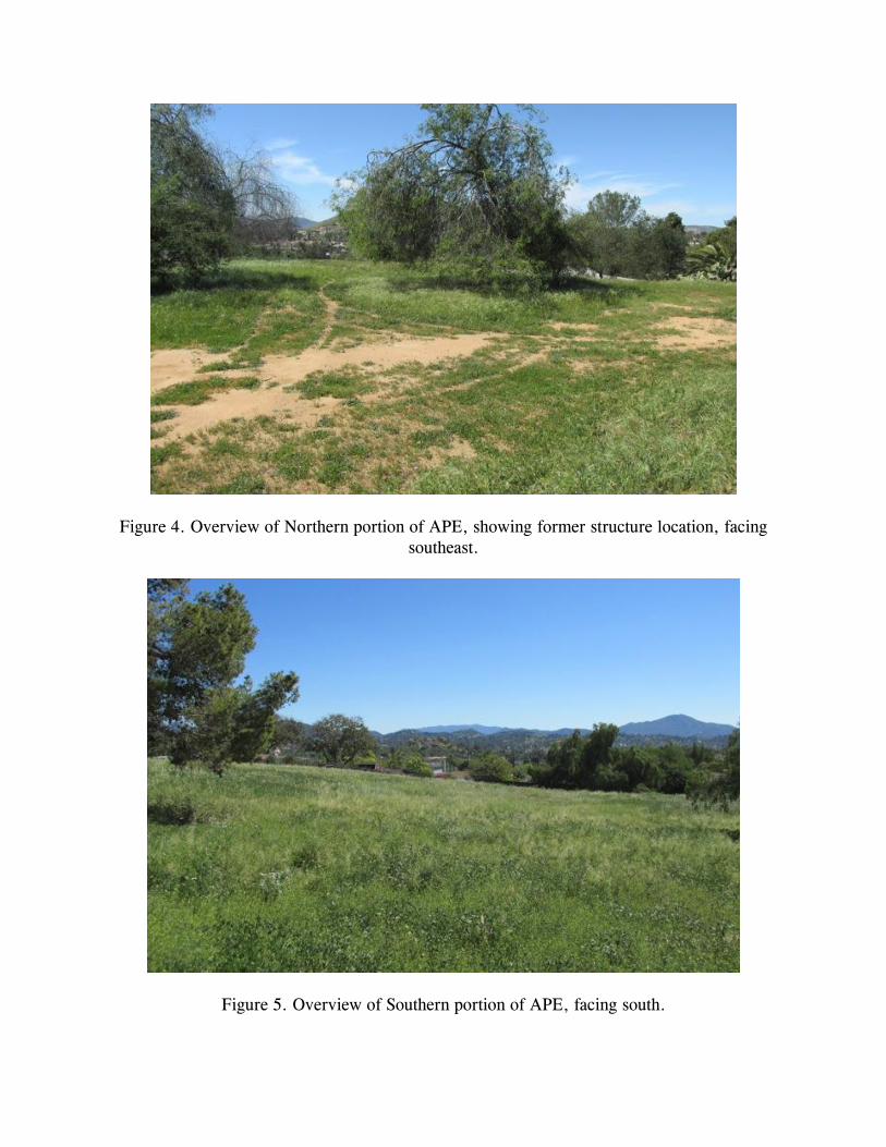
The Terrace Hill project area is bounded on approximately three-fourths of its western
margin by the paved cul-de-sac of Terrace Hill Drive, and on the remainder of its
perimeter by back-yard fences. The project area occupies the south facing slope of a low
ridgeline, and site topography includes a relatively flat area, occupying the approximate
northern third of the project, and a gentle to moderate slope, descending to the south
(Figures 4-5). The northwest margin of the parcel has been cut and terraced, and a small
amount of granite bedrock is visible at the surface. The flattened area in the north
appears to have been graded for past construction. No structures currently stand within
the project area, however remnants of previous development were observed in the
northern portion of the APE. Structural remnants include the end of a copper gas line
Ms. Erin Crouthers
Sept. 25, 2015
Page 13 of 19
and a galvanized waterline, protruding from the ground surface amid a cluster of
ornamental trees, and the remains of a low, concrete enclosure at the east edge of the
parcel. The enclosure, measuring approximately 10.5 x 8.5 feet appears to represent a
planter box, or other external feature, rather than a structural foundation. Three wooden
power poles, including one with an attached, residential-type light fixture stand in the
northeast portion of the parcel. Non-native vegetation including a linear row of mature
Opuntia cactus, several mature pine trees, and several unidentified deciduous trees are
clustered in the northern portion of the parcel. A small amount of highly fragmented
non-diagnostic debris was noted in the area of the structural remains, including clear,
brown and green bottle glass, milled wood, modern ceramic ware, ceramic sewer-pipe
fragments, aluminum can fragments, round nails, unidentified ferric metal fragments,