17
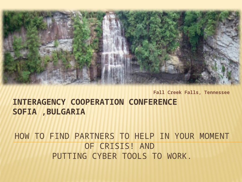
HOW TO FIND PARTNERS TO HELP IN YOUR MOMENT OF CRISIS! AND PUTTING CYBER TOOLS TO WORK. INTERAGENCY COOPERATION CONFERENCE SOFIA ,BULGARIA Fall Creek Falls, Tennessee
| Date post: | 17-Dec-2015 |
| Category: |
Documents |
| Upload: | avis-mcdowell |
| View: | 217 times |
| Download: | 1 times |
HOW TO FIND PARTNERS TO HELP IN YOUR MOMENT OF CRISIS! AND
PUTTING CYBER TOOLS TO WORK.
INTERAGENCY COOPERATION CONFERENCE SOFIA ,BULGARIA
Fall Creek Falls, Tennessee
Customer (disaster-victim) focused Build upon and sustain what assets you have Collaborate with every partner you can find Continually improve your skills and exercises Manage Your Disaster Risk Preparedness is everyone’s responsibility Define: How can we maintain continuity for
our economy and infrastructure after a disaster?
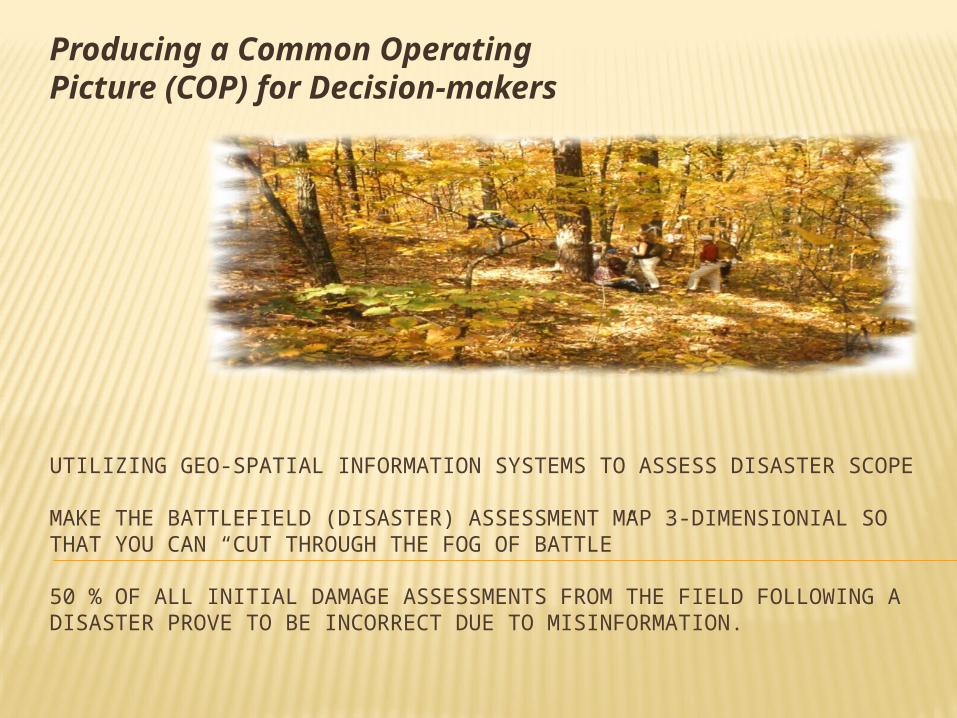
UTILIZING GEO-SPATIAL INFORMATION SYSTEMS TO ASSESS DISASTER SCOPE
MAKE THE BATTLEFIELD (DISASTER) ASSESSMENT MAP 3-DIMENSIONIAL SO THAT YOU CAN “CUT THROUGH THE FOG OF BATTLE”
50 % OF ALL INITIAL DAMAGE ASSESSMENTS FROM THE FIELD FOLLOWING A DISASTER PROVE TO BE INCORRECT DUE TO MISINFORMATION.
Producing a Common Operating Picture (COP) for Decision-makers
NAWAS – A NEW TENNESSEE DIGITAL ALERT WARNING SYSTEM IS EMERGING.
Tennessee uses redundant interoperable communications layers to coordinate local and regional damage assessment for COP:
• 700 & 800 MHz radio bands.• HF High Frequency radio band.• Secured internet web-based software
WebEOC to link EOC’s.• WinLink internet access thru HF band when
standard internet access is impossible.
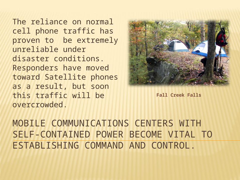
MOBILE COMMUNICATIONS CENTERS WITH SELF-CONTAINED POWER BECOME VITAL TO ESTABLISHING COMMAND AND CONTROL.
The reliance on normal cell phone traffic has proven to be extremely unreliable under disaster conditions. Responders have moved toward Satellite phones as a result, but soon this traffic will be overcrowded.
Fall Creek Falls
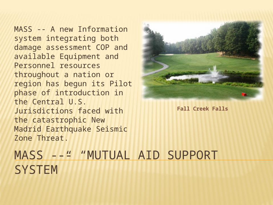
MASS --- “MUTUAL AID SUPPORT SYSTEM”
MASS -- A new Information system integrating both damage assessment COP and available Equipment and Personnel resources throughout a nation or region has begun its Pilot phase of introduction in the Central U.S. Jurisdictions faced with the catastrophic New Madrid Earthquake Seismic Zone Threat.
Fall Creek Falls
SCOPE OF RISK AND ANALYSIS OF THREAT MASS regional partners joining exercises :
25 affected New Madrid Zone States. 100 million population affected. FEMA and all federal agencies, Dept. of Defense, National
Guard Bureau. Thousands of local government responders. All state players feeding data and disaster information into
the MASS GIS mapping system. Commanders getting instant COP and ability to pick and
choose available response teams from pre-loaded MASS data-base.
Commanders direct response thru shared transportation corridor availability by MASS influenced mapping.
MASS – GOING BEYOND EMAC SYSTEM Emergency Management Assistance
Compact : 20 year old State-to-State Mutual Aid
System. All 50 States are signatories to EMAC. All legal liability and compensation issues
are standardized and determined before mission is deployed.
A Governor asks another Governor to voluntarily commit resources to assist in his disaster.
But we found issues that needed to be addressed.
CAN EMAC BE IMPROVED BY USING MASS? EMAC utilizes a first-come first-served
concept: It is very difficult for States that need resources to
identify where these resources will come from. The software operating system which matches
needed resources to disaster states is bulky and difficult to navigate causing delays and confusion.
There is no visibility of committed resource’s status to the assisting State command and control cell.
PROJECTED MASS SYSTEM IMPROVEMENTS
MRP – Mission Ready Packaging: Position-by-Position Strike Team
construction: Technical expertise and credentialing is
quantified to construct the team’s dynamic.
Complete Team Personnel availability, instant transportation-mode access, cutting-edge equipment, total 24-hour sustainability, scalable.
150 disaster emergency function skills are typed, with 500 more to be released next month.
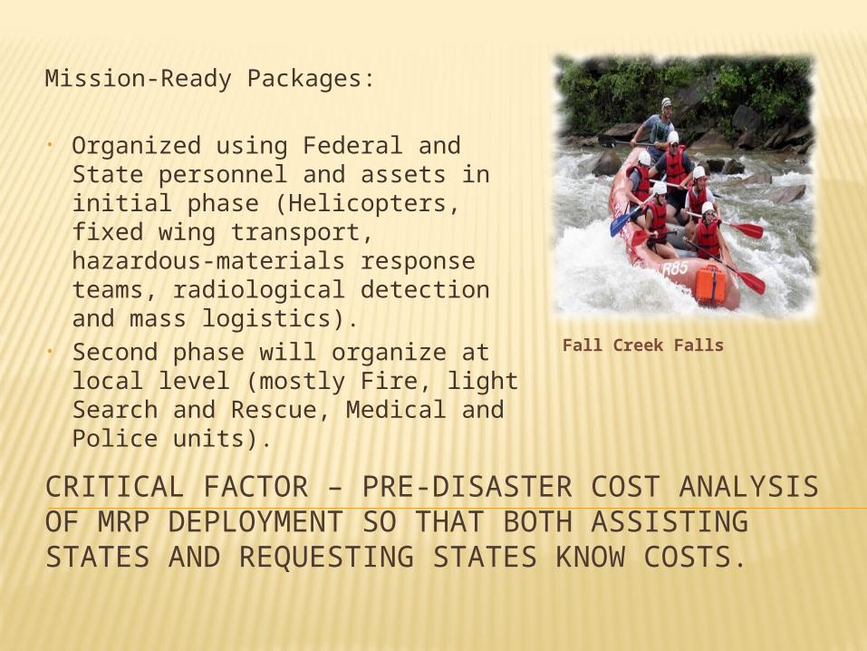
CRITICAL FACTOR – PRE-DISASTER COST ANALYSIS OF MRP DEPLOYMENT SO THAT BOTH ASSISTING STATES AND REQUESTING STATES KNOW COSTS.
Mission-Ready Packages:
• Organized using Federal and State personnel and assets in initial phase (Helicopters, fixed wing transport, hazardous-materials response teams, radiological detection and mass logistics).
• Second phase will organize at local level (mostly Fire, light Search and Rescue, Medical and Police units).
Fall Creek Falls
A SPECIAL PROJECT – FINALLY INTEROPERABILITY FOR FIRST RESPONDERS
FNARS National Communications System: The FNARS (FEMA National Radio System) is a HF (high
frequency) radio network which provides essential emergency commo between federal, state and local governments during emergencies and disasters.
FNARS will maintain reliable long and short range radio commo within affected disaster areas without dependence on susceptible terrestrial and satellite telecommunications networks. The system will transmit and receive secure and non-secure voice and data to include e-mail, text messages and images.
FNARS –ROLLING OUT NOW
The Space and Naval Warfare Systems Center Charleston (SSCC), Code 50 is tasked to develop, deliver and install FNARS. First phase of FNARS BETA testing (voice & data)
was conducted this week between FEMA Region IV Atlanta and Tennessee State Emergency Operations Center in Nashville, Tennessee.
All system checks were positive. National testing scheduled thru June, 2014.
OPERATIONAL CHALLENGES
Integration of the Private Sector into sharing data and information within the Common Operating Picture. What are the pitfalls?
Refining information systems for responding to extreme (catastrophic) disaster events.
What is the role of Emergency Management in Disaster Risk Reduction?
Rethinking Recovery and Risk Financing: Major disaster recovery has gotten too expensive for even the richest nations.
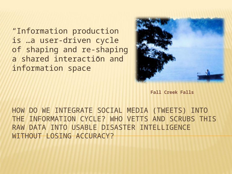
HOW DO WE INTEGRATE SOCIAL MEDIA (TWEETS) INTO THE INFORMATION CYCLE? WHO VETTS AND SCRUBS THIS RAW DATA INTO USABLE DISASTER INTELLIGENCE WITHOUT LOSING ACCURACY?
“Information production is …a user-driven cycle of shaping and re-shaping a shared interaction and information space”
Fall Creek Falls

QUESTIONS

CONTACT INFORMATION
Cecil Whaley, Tennessee Emergency Management Agency, 3041 Sidco Dr., Nashville, TN. 37204
Telephone – 615-741-0640 Cell: 615-351-3750


